2000s (21st Century) Maps of Ellis County, Texas
Explore 120 historic maps of Ellis County from the 2000s (21st Century). These maps offer a rare glimpse into what life looked like during the 2000s — showing old roads, neighborhoods, homes, and landmarks that have changed or disappeared over time.
Whether you're researching your family's past, planning a metal detecting trip, or studying how Ellis County's landscape evolved across the 2000s, these high-resolution maps are a powerful tool for exploring the history of this region.
- Focus on a specific era: All maps on this page are from the 2000s, giving you a focused view of this time period.
- See what’s changed: Compare century-old streets, trails, and buildings to today's modern landscape using overlays and satellite layers.
- Research with precision: Use these maps for genealogy, historical research, land use analysis, or educational projects.
- View, download, or print: Maps are fully viewable online in high resolution, and can be downloaded or printed for your own records.
Start exploring Ellis County's history through authentic maps from the 2000s. This is your window into the past.
Ellis County, TX maps
(120)- 2010 Map of Avalon, 2010 Print
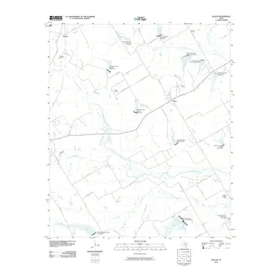 2010 Avalon2010 Print · USGSThe agricultural plains of Ellis County are shown here in the early twenty-first century, centered on the community of Avalon. Researchers can locate several family and community burial grounds like Forreston Cemetery and Hughes Cemetery among the winding paths of Chambers Creek.
- 2010 Map of Forreston, 2010 Print
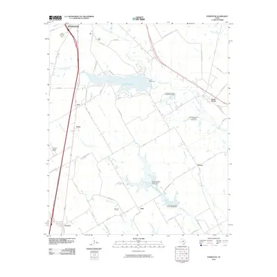 2010 Forreston2010 Print · USGSThe rural landscape south of Waxahachie was defined by a sophisticated network of creeks and conservation dams at the start of the decade. Researchers can locate family-named crossroads and landmarks like Glenwood Cemetery, Reagor Springs, and Forreston.
- 2010 Map of Bristol, 2010 Print
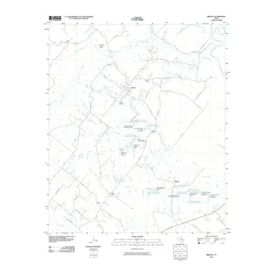 2010 Bristol2010 Print · USGSNorth of Ennis during the early twenty-first century, this area of Ellis County shows a landscape of cattle ranching and small-town Texas life. Researchers can trace local lineage at Norman Cemetery and Crisp Cemetery, or locate the rural junctions of Bristol and Alsdorf.
- 2010 Map of Emhouse, 2010 Print
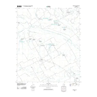 2010 Emhouse2010 Print · USGSNorthwest of Corsicana in the early 2010s, this area of Navarro County shows a landscape shaped by rural agriculture and complex water management. Researchers can locate the Pattison Cemetery and trace the many numbered reservoirs and dams along Chambers Creek and Briar Creek.
- 2010 Map of Files Valley, 2010 Print
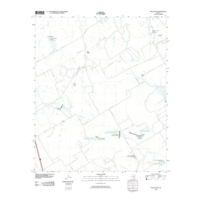 2010 Files Valley2010 Print · USGSHill County at the start of the 2010s reveals a structured agricultural landscape shaped by water management and rural homesteads. Trace local family history at Files or Turner Cemetery, and explore the reach of Richland Creek and its numerous conservation reservoirs.
- 2010 Map of Cryer Creek, 2010 Print
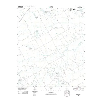 2010 Cryer Creek2010 Print · USGSThe ranching and farming lands of Ellis County are shown here in the early twenty-first century, marked by a sophisticated network of watershed dams. Researchers can locate community centers like Rankin and Byrd or trace family roots at Grange Hall Cemetery and Cryer Creek Cemetery.
- 2010 Map of Rosser, 2010 Print
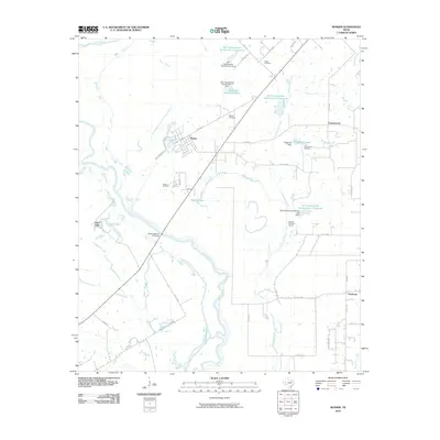 2010 Rosser2010 Print · USGSThe Trinity River bottomlands come into focus in 2010, showing the rural communities of Rosser and Peeltown along the river's winding path. Researchers can trace family history at Rosser Cemetery or explore the landscape of Deadman Slough and Huggins Lake.
- 2010 Map of Lancaster, 2010 Print
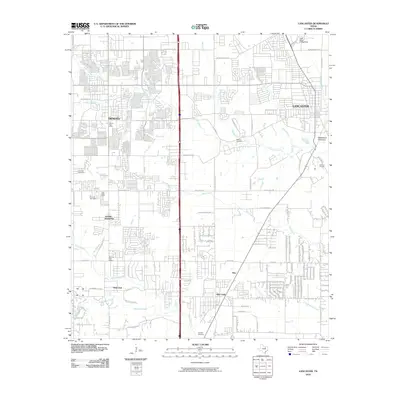 2010 Lancaster2010 Print · USGSThe suburban and rural landscape south of Dallas is captured here in the early twenty-first century as cities began to merge. Researchers can trace family history at Rawlins Cemetery and Edgewood Cemetery or locate the DeSoto Post Office and Carroll Air Park.
- 2010 Map of Maypearl, 2010 Print
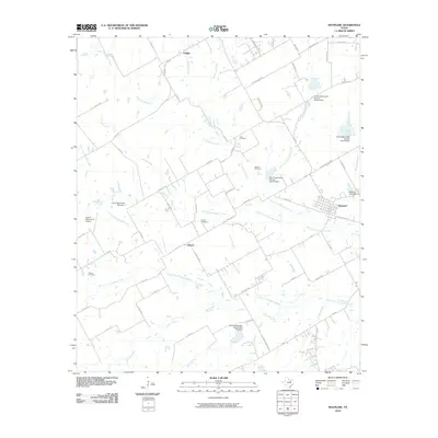 2010 Maypearl2010 Print · USGSMaypearl and its surrounding prairie landscape are shown here at the start of the 2010s as a complex network of agricultural lands and water management sites. Researchers can locate several historic burial grounds including Ozro Cemetery and Odom Cemetery, or trace the path of the North Fork Chambers Creek.
- 2010 Map of Italy, 2010 Print
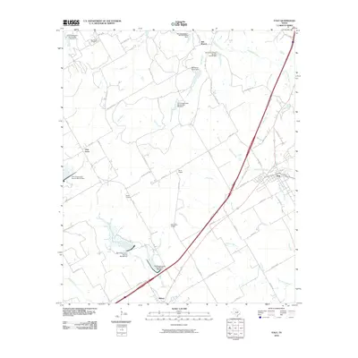 2010 Italy2010 Print · USGSThe rural landscape between Italy and Milford is captured here in the early twenty-first century. Genealogists and local historians can trace family-named landmarks like Bee Creek Cemetery, Derrs Chapel, and the small airfield at Hirok Airport.
- 2010 Map of Midlothian, 2010 Print
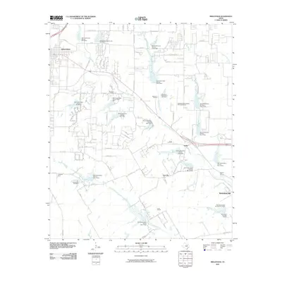 2010 Midlothian2010 Print · USGSThe rural expanses between Midlothian and Waxahachie are captured here just as the suburban footprint was beginning to expand. Genealogists and historians can locate family burial sites at Mount Zion Cemetery or trace the early fields of the Singleton Farm.
- 2010 Map of Ennis West, 2010 Print
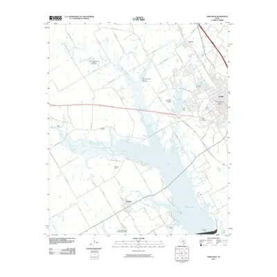 2010 Ennis West2010 Print · USGSThe sprawling waters of Bardwell Lake and the established streets of Ennis define this part of Ellis County in the early twenty-first century. Researchers can trace local heritage through the Ennis Commercial Historic District or locate family sites at Myrtle Cemetery and Boren Cemetery.
- 2010 Map of Mertens, 2010 Print
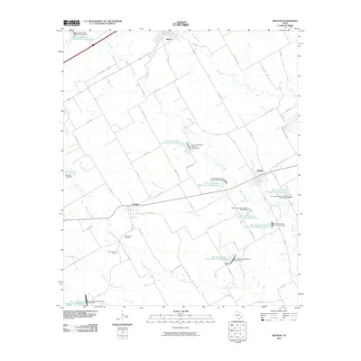 2010 Mertens2010 Print · USGSThe rural landscapes of Ellis and Hill Counties are captured here at the start of the 2010s, showing a region defined by prairie creeks and water conservation. Researchers can locate the Old Brandon Cemetery near Brandon or trace the many reservoirs along Richland Creek.
- 2010 Map of Frost, 2010 Print
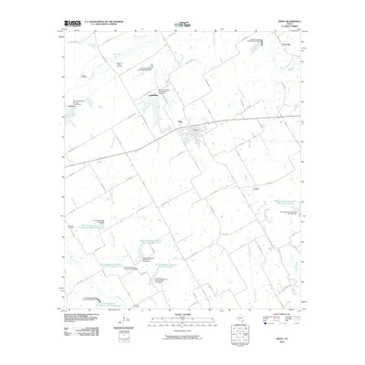 2010 Frost2010 Print · USGSNavarro County's rural landscape is captured here in the early twenty-first century, centered on the community of Frost. Genealogists can locate several historic burial sites including Blanton, Richland, and Pevehouse alongside the winding course of Richland Creek.
- 2010 Map of Ennis East, 2010 Print
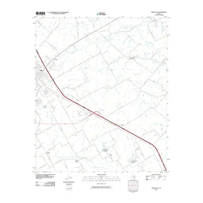 2010 Ennis East2010 Print · USGSEastern Ellis County is captured here in the early twenty-first century as modern transit corridors intersect with traditional Texas farmsteads. Genealogists and local historians can trace family locations near Redwine Cemetery or follow the rural developments of Telico and Creechville.
- 2010 Map of Waxahachie, 2010 Print
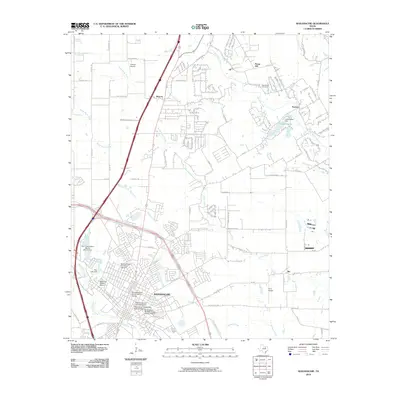 2010 Waxahachie2010 Print · USGSWaxahachie and the surrounding blackland prairies are documented here in the early twenty-first century, showing the town's expanding residential footprint. Genealogists can trace family sites near the Bell Chapel Cemetery or explore the numerous historic sectors like the Oldham Avenue Historic District.
- 2010 Map of Rosser SW, 2010 Print
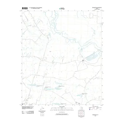 2010 Rosser SW2010 Print · USGSNavarro County's rural landscape is captured here in the early twenty-first century as the Trinity River winds through its northern reaches. Genealogists and local historians can locate the Old Chatfield Cemetery, Rice Cemetery, and the nearby Rice Oil Field.
- 2010 Map of Boz, 2010 Print
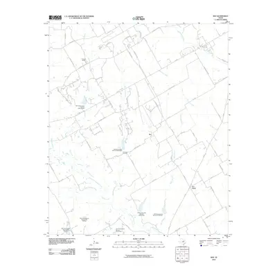 2010 Boz2010 Print · USGSBoz and the surrounding Ellis County ranch lands are shown here in the early 2000s, revealing a landscape shaped by water management and rural tradition. Genealogists and local historians can trace family locations near Greathouse Cemetery, the community of Five Points, and the small airfield at Circle R Airport.
- 2010 Map of Cedar Hill, 2010 Print
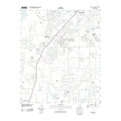 2010 Cedar Hill2010 Print · USGSThe southwestern edge of Dallas County is captured here during a period of rapid suburban transformation and residential growth. Family historians can trace ancestral roots at Little Bethel Cemetery or explore the shores of Joe Pool Lake and the Cedar Bluff area.
- 2010 Map of India, 2010 Print
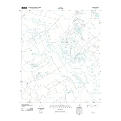 2010 India2010 Print · USGSSoutheast of Dallas in the late 2000s, this area shows a landscape of river sloughs and small settlements. Genealogists can locate family landmarks like Grange Hill Cemetery or Pruitt Cemetery and trace the winding Trinity River.
- 2010 Map of Ferris, 2010 Print
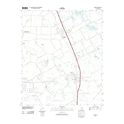 2010 Ferris2010 Print · USGSThe communities of Ferris and Wilmer are captured during a period of modern expansion along the Trinity River tributaries. Researchers can locate numerous historical burial sites including Bluff Springs Cemetery, Trinity Cemetery, and the Old Cemetery near the city center.
- 2010 Map of Venus, 2010 Print
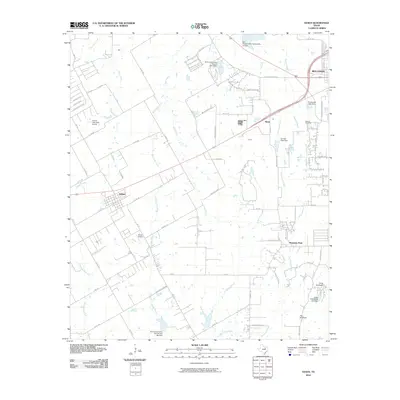 2010 Venus2010 Print · USGSMidlothian and Venus were centers of steady growth in the North Texas prairie during the early twenty-first century. Genealogists and local historians can trace family sites like Newton Cemetery or explore regional landmarks including Camp Hoblitzelle and the Venus Airport.
- 2010 Map of Palmer, 2010 Print
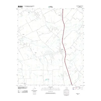 2010 Palmer2010 Print · USGSEllis County at the turn of the decade shows a landscape of established towns and enduring family landmarks along the prairie creeks. Genealogists and local historians can trace legacy sites like the Prude Hyde Cemetery or the community of Boyce near Griffith Reservoir.
- 2010 Map of Britton, 2010 Print
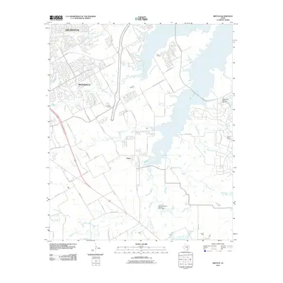 2010 Britton2010 Print · USGSArlington and Mansfield are shown in a period of significant suburban growth south of the Dallas-Fort Worth area. Genealogists can trace family heritage at Estes Cemetery and Pleasant Valley Cemetery near the shores of Joe Pool Lake.
- 2012 Map of Bristol, 2012 Print
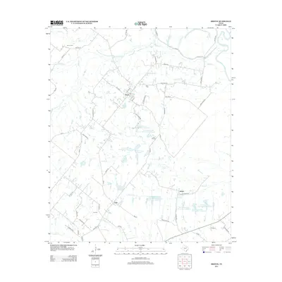 2012 Bristol2012 Print · USGSNorth of Ennis in the early twenty-first century, this Ellis County landscape shows a rural community defined by its creeks and small settlements. Genealogists can trace family landmarks like Norman Cem and Crisp Cem or locate the hamlets of Bristol and Alsdorf.
Showing maps 1-25 of 120
Top cities of Ellis County
- Waxahachie historical maps
- Ennis historical maps
- Midlothian historical maps
- Ferris historical maps
- Palmer historical maps
- Italy historical maps
See more
Frequently asked questions
- What are the different types of historical maps available for Ellis County?
- What is the oldest map of Ellis County?
- Where can I purchase historical maps of Ellis County for my home or office?
- Where can I download high-res historical maps of Ellis County?
- Are there historical topographic maps available for Ellis County?
- Is there historical aerial imagery available for Ellis County?
- Where are historical maps of Ellis County sourced from?