Old Maps of Ennis, Texas for Hiking & Exploration
Hike through history with 40 historic maps of Ennis. Explore old trails, ghost towns, and forgotten backroads — perfect for outdoor adventurers and local explorers.
- Rediscover forgotten places: Map out old mining camps, roads, and footpaths that no longer exist on modern maps.
- Layer with modern tools: Combine with LiDAR or satellite views to plan hikes through historical terrain.
- Made for exploration: Popular among hikers, overlanders, and local history lovers.
Use these maps to find adventure and explore the hidden past of Ennis.
Ennis, TX maps
(40)- 1954 Map of Dallas, 1963 Print
 1954 Dallas1963 Print · USGSNorth Texas in the mid-fifties and early sixties reveals a landscape of rapid urban growth and water management. Genealogists and historians can trace the evolution of the metroplex through landmarks like Hensley Field, Boles Orphan Home, and the Texas & Pacific RR.4 unique versions available
 - 1956 Map of Ennis
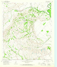
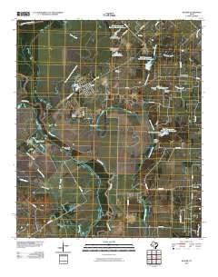
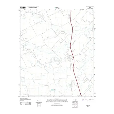
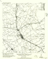 1956 Ennis1956 Print · USGSEllis County agricultural life is captured here in the years following the first World War, centered on the rail crossroads at Ennis P.O. Genealogists can locate family landmarks like Ghost School, Antioch Church, and the settlement of Boyce (Cottonwood).
 - 1958 Map of Dallas
 1958 Dallas1958 Print · USGSNorth Texas in the late fifties shows the dramatic expansion of the Metroplex as it absorbs surrounding farm towns. Genealogists and historians can trace old rail lines like the Missouri-Kansas-Texas and locate early lakefront developments at Eagle Mountain Lake and Lake Worth Village.
 - 1961 Map of Forreston, 1963 Print
 1961 Forreston1963 Print · USGSEllis County in the early sixties showcases a rural landscape shaped by the new Lake Waxahachie and established rail lines. Genealogists and local historians can trace family locations near Reagor Springs, Glenwood Cem, and the old station at Forreston.2 unique versions available
 - 1962 Map of Ennis West, 1965 Print
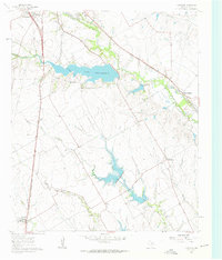
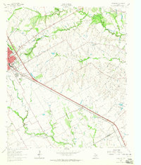
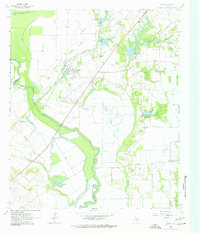
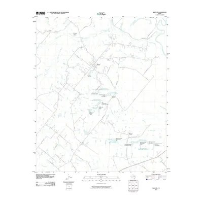
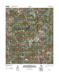
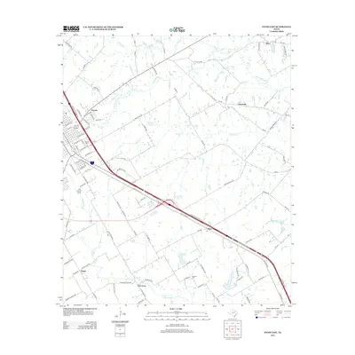
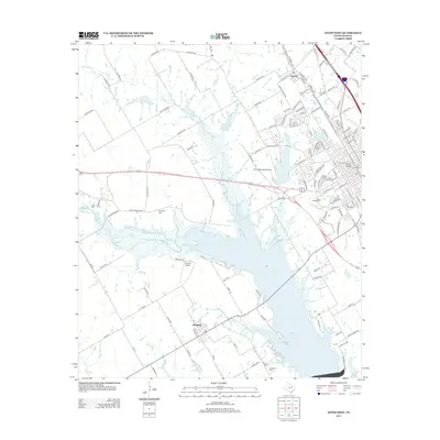
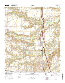
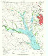 1962 Ennis West1965 Print · USGSEllis County in the early sixties showcases the transformation of the landscape as the new reservoir reaches its pool elevation. Genealogists and local historians can trace family plots at Myrtle Cemetery or Bethel Cem and locate rail features like the Southern Pacific tracks.3 unique versions available
 - 1962 Map of Ennis East, 1965 Print
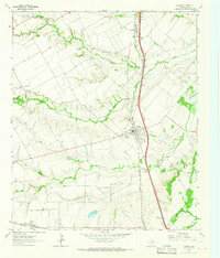
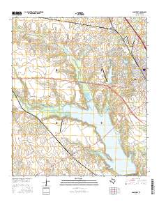
 1962 Ennis East1965 Print · USGSEastern Ellis County in the early 1960s shows a landscape of rail-linked prairie towns and country schools. Genealogists can trace family footprints at Redwine Cem, Alma, and the St Johns Ch.3 unique versions available
 - 1962 Map of Bristol, 1966 Print
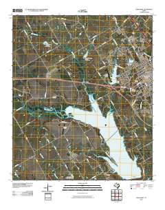
 1962 Bristol1966 Print · USGSThe rural landscape of eastern Ellis County in the early 1960s is defined by its relationship to the Trinity River and the transition from rail to road. Genealogists can trace family footprints at Crisp Cemetery, Weavers Chapel, and the settlement of Bristol.3 unique versions available
 - 1963 Map of Rosser
 1963 Rosser1963 Print · USGSThe Trinity River bottomlands near the Kaufman and Ellis County line come to life in the early 1960s. Genealogists and local historians can trace family connections at Rosser Cemetery and Cottonwood Church or locate the site of the Scurry-Rosser School.2 unique versions available
 - 1963 Map of Palmer, 1966 Print
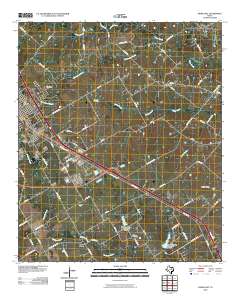
 1963 Palmer1966 Print · USGSEllis County's blackland prairie landscape is captured here in the early 1960s, centered on the railroad town of Palmer. Researchers can trace old family burial sites like Smith Cem and Lucille Cem or locate the rural Cedar Grove Ch near the banks of Brushy Creek.3 unique versions available
 - 1985 Map of Corsicana, 1986 Print
 1985 Corsicana1986 Print · USGSNorth Central Texas was defined by its expanding water reservoirs and deep-rooted rail corridors in the mid-eighties. Researchers can trace the heritage of local communities through landmarks like Southwestern Bible Institute, Navarro College, and rural markers such as Derrs Chapel.2 unique versions available
 - 2010 Map of Forreston, 2010 Print
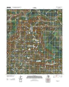
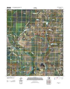
 2010 Forreston2010 Print · USGSCovers Ennis, including Waxahachie, Forreston, and other nearby areas
 - 2010 Map of Bristol, 2010 Print
 2010 Bristol2010 Print · USGSCovers Ennis, including Bristol, Alsdorf, and other nearby areas
 - 2010 Map of Rosser, 2010 Print
 2010 Rosser2010 Print · USGSCovers Ennis, including Scurry, Rosser, and other nearby areas
 - 2010 Map of Ennis West, 2010 Print
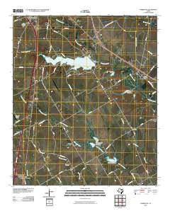
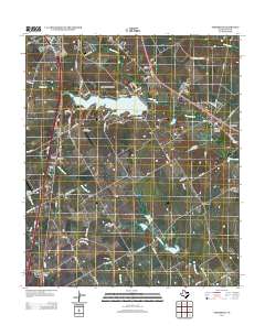
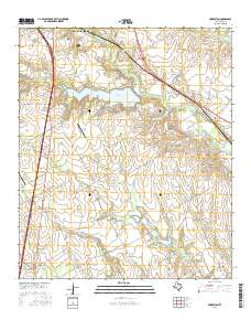
 2010 Ennis West2010 Print · USGSCovers Ennis, including Bardwell, Garrett, and other nearby areas
 - 2010 Map of Ennis East, 2010 Print
 2010 Ennis East2010 Print · USGSCovers Ennis, including Rice, Alma, and other nearby areas
 - 2010 Map of Palmer, 2010 Print
 2010 Palmer2010 Print · USGSCovers Ennis, including Waxahachie, Palmer, and other nearby areas
 - 2012 Map of Bristol, 2012 Print
 2012 Bristol2012 Print · USGSCovers Ennis, including Bristol, Alsdorf, and other nearby areas
 - 2012 Map of Palmer, 2012 Print
 2012 Palmer2012 Print · USGSCovers Ennis, including Waxahachie, Palmer, and other nearby areas
 - 2012 Map of Forreston, 2012 Print
 2012 Forreston2012 Print · USGSCovers Ennis, including Waxahachie, Forreston, and other nearby areas
 - 2012 Map of Ennis East, 2012 Print
 2012 Ennis East2012 Print · USGSCovers Ennis, including Rice, Alma, and other nearby areas
 - 2012 Map of Rosser, 2012 Print
 2012 Rosser2012 Print · USGSCovers Ennis, including Scurry, Rosser, and other nearby areas
 - 2012 Map of Ennis West, 2012 Print
 2012 Ennis West2012 Print · USGSCovers Ennis, including Bardwell, Garrett, and other nearby areas
 - 2016 Map of Forreston, 2016 Print
 2016 Forreston2016 Print · USGSCovers Ennis, including Waxahachie, Forreston, and other nearby areas
 - 2016 Map of Palmer, 2016 Print
 2016 Palmer2016 Print · USGSCovers Ennis, including Waxahachie, Palmer, and other nearby areas
 - 2016 Map of Ennis West, 2016 Print
 2016 Ennis West2016 Print · USGSCovers Ennis, including Bardwell, Garrett, and other nearby areas
Showing maps 1-25 of 40
Top cities near Ennis
- DeSoto historical maps
- Lancaster historical maps
- Waxahachie historical maps
- Corsicana historical maps
- Kaufman historical maps
- Combine historical maps
See more
Top neighborhoods of Ennis
Frequently asked questions
- What are the different types of historical maps available for Ennis?
- What is the oldest map of Ennis?
- Where can I purchase historical maps of Ennis for my home or office?
- Where can I download high-res historical maps of Ennis?
- Are there historical topographic maps available for Ennis?
- Is there historical aerial imagery available for Ennis?
- Where are historical maps of Ennis sourced from?