Old Maps of Red Oak, Texas for Genealogy
Trace your family roots with 32 historic maps of Red Oak. These high-res maps reveal old neighborhoods, homesites, landmarks, and streets — helping you uncover where your ancestors lived and how the area evolved over time.
- Explore historic neighborhoods: Identify where your relatives may have lived in the 1800s or 1900s.
- Compare maps over time: Trace the changes in streets, buildings, and landmarks for multi-generational research.
- Perfect for genealogy & ancestry research: Used by family historians and researchers to map out lineage and migration.
These maps are an incredible resource for exploring your personal connection to Red Oak's past.
Red Oak, TX maps
(32)- 1891 Map of Dallas
 1891 Dallas1891 Print · USGSThe Dallas area during the late nineteenth century was a rapidly growing rail hub still defined by its river crossings and rural outposts. Genealogists and historians can trace the foundations of the metroplex through early landmarks like Oak Cliff, Doddy's Ferry, and Haughts Store.
 - 1893 Map of Dallas
 1893 Dallas1893 Print · USGSDallas was a rising railroad power in the 1890s, when iron rails and river crossings dictated the growth of North Texas. Genealogists can locate vanished landmarks and rural hubs like Oak Cliff, Doddy's Ferry, and Haught's Store before the city's modern sprawl.5 unique versions available
 - 1954 Map of Dallas, 1963 Print
 1954 Dallas1963 Print · USGSNorth Texas in the mid-fifties and early sixties reveals a landscape of rapid urban growth and water management. Genealogists and historians can trace the evolution of the metroplex through landmarks like Hensley Field, Boles Orphan Home, and the Texas & Pacific RR.4 unique versions available
 - 1956 Map of Ennis
 1956 Ennis1956 Print · USGSEllis County agricultural life is captured here in the years following the first World War, centered on the rail crossroads at Ennis P.O. Genealogists can locate family landmarks like Ghost School, Antioch Church, and the settlement of Boyce (Cottonwood).
 - 1958 Map of Dallas
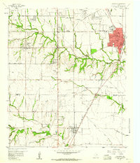
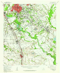
 1958 Dallas1958 Print · USGSNorth Texas in the late fifties shows the dramatic expansion of the Metroplex as it absorbs surrounding farm towns. Genealogists and historians can trace old rail lines like the Missouri-Kansas-Texas and locate early lakefront developments at Eagle Mountain Lake and Lake Worth Village.
 - 1959 Map of Lancaster, 1960 Print
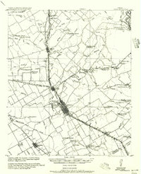
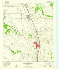
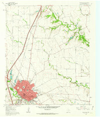
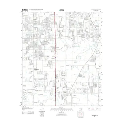
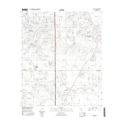
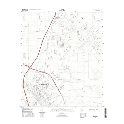
 1959 Lancaster1960 Print · USGSSouthern Dallas County and northern Ellis County are shown here in the late fifties, as traditional farming communities began to expand. You can locate family history at Rawlins Cem, trace the Missouri Kansas Texas Railroad corridor, and find old landmarks like Camp Pinkston or Beckley City Chapel.5 unique versions available
 - 1959 Map of Ferris, 1960 Print
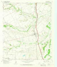
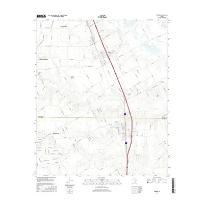
 1959 Ferris1960 Print · USGSThe northern Ellis County borderlands and southern Dallas County come alive in the late fifties, showing the rail-centered growth of Ferris and Wilmer. Researchers can trace old family sites near Bluff Springs Cemetery or the Dunbar High School.3 unique versions available
 - 1959 Map of Seagoville, 1962 Print
 1959 Seagoville1962 Print · USGSSoutheast of Dallas in the late fifties, the Trinity River valley served as a busy corridor of railroads and growing townships. Trace family roots at Sand Branch Cem, locate the Hutchins Boys Industrial Sch, and explore the winding Parsons Slough.
 - 1961 Map of Waxahachie, 1963 Print
 1961 Waxahachie1963 Print · USGSWaxahachie and its surrounding Ellis County farmlands are captured in the early sixties as the interstate era began to reshape the Texas landscape. Researchers can trace historic local institutions like the Southwestern Bible Institute, Bell Chapel Cem, and the Jack Coesie Childrens Home.3 unique versions available
 - 1963 Map of Palmer, 1966 Print
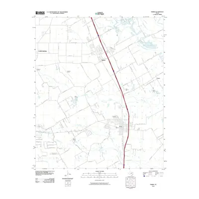
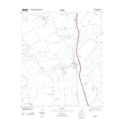
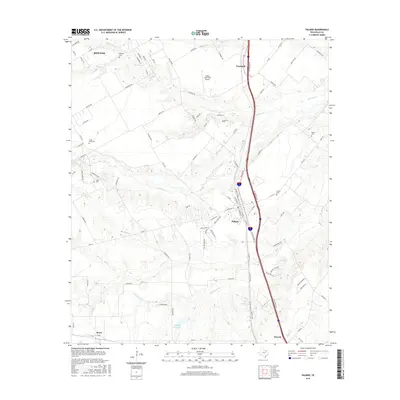
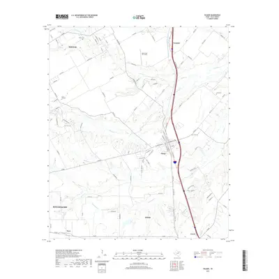
 1963 Palmer1966 Print · USGSEllis County's blackland prairie landscape is captured here in the early 1960s, centered on the railroad town of Palmer. Researchers can trace old family burial sites like Smith Cem and Lucille Cem or locate the rural Cedar Grove Ch near the banks of Brushy Creek.3 unique versions available
 - 1985 Map of Corsicana, 1986 Print
 1985 Corsicana1986 Print · USGSNorth Central Texas was defined by its expanding water reservoirs and deep-rooted rail corridors in the mid-eighties. Researchers can trace the heritage of local communities through landmarks like Southwestern Bible Institute, Navarro College, and rural markers such as Derrs Chapel.2 unique versions available
 - 1986 Map of Dallas
 1986 Dallas1986 Print · USGSThe North Texas metropolitan landscape comes into focus during the mid-eighties as urban growth expands toward the eastern reservoirs. Researchers can trace historic cemeteries like Oak Cliff Cem, rail corridors of the Texas & Pacific RR, and landmarks such as Southern Methodist University.3 unique versions available
 - 2010 Map of Lancaster, 2010 Print
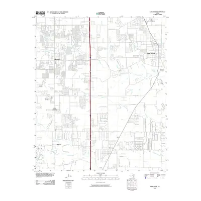 2010 Lancaster2010 Print · USGSCovers Red Oak, including Dallas, De Soto, and other nearby areas
 - 2010 Map of Waxahachie, 2010 Print
 2010 Waxahachie2010 Print · USGSCovers Red Oak, including Waxahachie, Oak Leaf, and other nearby areas
 - 2010 Map of Ferris, 2010 Print
 2010 Ferris2010 Print · USGSCovers Red Oak, including Dallas, Lancaster, and other nearby areas
 - 2010 Map of Palmer, 2010 Print
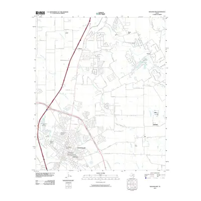
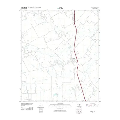 2010 Palmer2010 Print · USGSCovers Red Oak, including Waxahachie, Ennis, and other nearby areas
 - 2012 Map of Ferris, 2012 Print
 2012 Ferris2012 Print · USGSCovers Red Oak, including Dallas, Lancaster, and other nearby areas
 - 2012 Map of Waxahachie, 2012 Print
 2012 Waxahachie2012 Print · USGSCovers Red Oak, including Waxahachie, Oak Leaf, and other nearby areas
 - 2012 Map of Palmer, 2012 Print
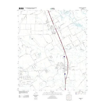
 2012 Palmer2012 Print · USGSCovers Red Oak, including Waxahachie, Ennis, and other nearby areas
 - 2012 Map of Lancaster, 2012 Print
 2012 Lancaster2012 Print · USGSCovers Red Oak, including Dallas, De Soto, and other nearby areas
 - 2016 Map of Palmer, 2016 Print
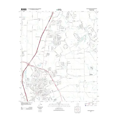
 2016 Palmer2016 Print · USGSCovers Red Oak, including Waxahachie, Ennis, and other nearby areas
 - 2016 Map of Lancaster, 2016 Print
 2016 Lancaster2016 Print · USGSCovers Red Oak, including Dallas, De Soto, and other nearby areas
 - 2016 Map of Waxahachie, 2016 Print
 2016 Waxahachie2016 Print · USGSCovers Red Oak, including Waxahachie, Oak Leaf, and other nearby areas
 - 2016 Map of Ferris, 2016 Print
 2016 Ferris2016 Print · USGSCovers Red Oak, including Dallas, Lancaster, and other nearby areas
 - 2019 Map of Palmer, 2019 Print
 2019 Palmer2019 Print · USGSCovers Red Oak, including Waxahachie, Ennis, and other nearby areas
Showing maps 1-25 of 32
Top cities near Red Oak
- Dallas historical maps
- Grand Prairie historical maps
- Mesquite historical maps
- De Soto historical maps
- DeSoto historical maps
- Cedar Hill historical maps
See more
Top neighborhoods of Red Oak
Frequently asked questions
- What are the different types of historical maps available for Red Oak?
- What is the oldest map of Red Oak?
- Where can I purchase historical maps of Red Oak for my home or office?
- Where can I download high-res historical maps of Red Oak?
- Are there historical topographic maps available for Red Oak?
- Is there historical aerial imagery available for Red Oak?
- Where are historical maps of Red Oak sourced from?