2000s (21st Century) Maps of Falls County, Texas
Explore 120 historic maps of Falls County from the 2000s (21st Century). These maps offer a rare glimpse into what life looked like during the 2000s — showing old roads, neighborhoods, homes, and landmarks that have changed or disappeared over time.
Whether you're researching your family's past, planning a metal detecting trip, or studying how Falls County's landscape evolved across the 2000s, these high-resolution maps are a powerful tool for exploring the history of this region.
- Focus on a specific era: All maps on this page are from the 2000s, giving you a focused view of this time period.
- See what’s changed: Compare century-old streets, trails, and buildings to today's modern landscape using overlays and satellite layers.
- Research with precision: Use these maps for genealogy, historical research, land use analysis, or educational projects.
- View, download, or print: Maps are fully viewable online in high resolution, and can be downloaded or printed for your own records.
Start exploring Falls County's history through authentic maps from the 2000s. This is your window into the past.
Falls County, TX maps
(120)- 2010 Map of Chilton, 2010 Print
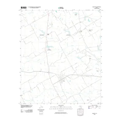 2010 Chilton2010 Print · USGSCentral Texas rural life in the early 2000s centers on the town of Chilton and its surrounding water management projects. Genealogists and researchers can trace local family landmarks like Cedar Valley Cemetery and the oil fields at Post Oak and Deer Creek.
 - 2010 Map of Odds, 2010 Print
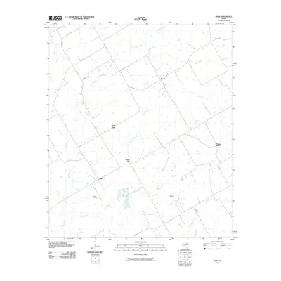 2010 Odds2010 Print · USGSLimestone County at the turn of the decade is mapped here in detail, showing a landscape of rural crossroads and creeks. Genealogists can locate family landmarks such as Erskine Cemetery and small communities like Odds and Buffalo Mop.
 - 2010 Map of Riesel, 2010 Print
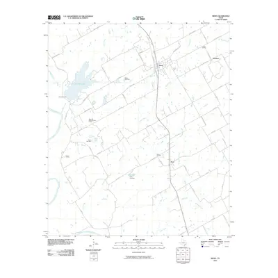 2010 Riesel2010 Print · USGSEastern McLennan County in the early 2000s remains a landscape of managed water and small rural hubs. Genealogists can trace family footprints at Friedens Cemetery or Nazare Cemetery, while exploring the outskirts of Riesel, Blackland, and Perry.
 - 2010 Map of Otto, 2010 Print
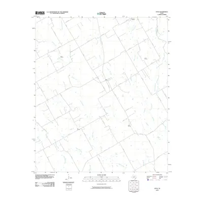 2010 Otto2010 Print · USGSThe rural community of Otto and its surrounding farmsteads are documented here at the turn of the decade. Genealogists and local researchers can trace the locations of several historic burial sites, including Oklahoma Cemetery, Metina Cemetery, and Zion Cemetery.
 - 2010 Map of Mart, 2010 Print
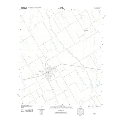 2010 Mart2010 Print · USGSMcLennan County's eastern prairies are captured here in the early 21st century, centered on the historic rail and cotton hub of Mart. Genealogists and local historians can locate family burial sites at Evergreen Cemetery and Wise Cemetery or trace the winding paths of Big Creek and Hogpen Creek.
 - 2010 Map of McClanahan, 2010 Print
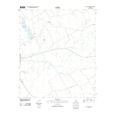 2010 McClanahan2010 Print · USGSFalls County at the turn of the decade reveals a landscape of enduring rural settlements and creek-side acreage. Genealogists can trace family footprints at Taylor Chapel Cemetery and Hillcrest Cemetery, or locate landmarks like Bald Hill and Bell Bridge.
 - 2010 Map of Moody, 2010 Print
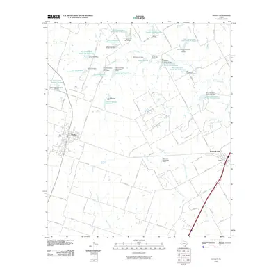 2010 Moody2010 Print · USGSSettlement in the central Texas prairies centered on Moody and Bruceville-Eddy at the start of the 21st century. Researchers can trace land management patterns through dozens of reservoirs and find family roots at Naler Cemetery or Perry Cemetery.
 - 2010 Map of Kosse West, 2010 Print
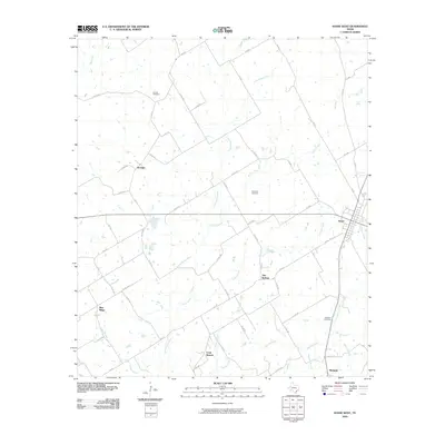 2010 Kosse West2010 Print · USGSThe rural stretches of Limestone County come to life in this mapping of the area surrounding Kosse and Stranger. Researchers can locate several burial grounds including Garrett Cemetery and Williams Cemetery or trace the winding course of the Little Brazos River.
 - 2010 Map of Robinson, 2010 Print
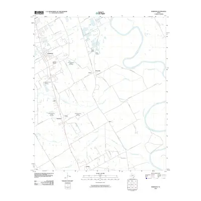 2010 Robinson2010 Print · USGSThe rural landscape south of Waco is captured here at the start of the 21st century, showing small Texas communities along the Brazos River. Researchers can trace old family sites and local landmarks like the Fletcher Cemetery, Rosenthal, and the Christian Cemetery.
 - 2010 Map of Marlin, 2010 Print
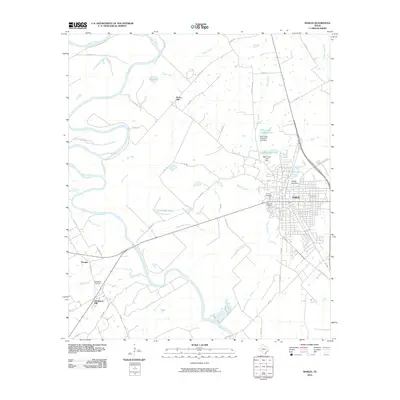 2010 Marlin2010 Print · USGSThe Brazos River valley near the turn of the twenty-first century reveals a landscape shaped by ranching and river drainage. Genealogists can trace family history at Stallworth Cemetery or Evergreen Cemetery, while exploring rural landmarks like Rocky Hill and Tomlinson Hill.
 - 2010 Map of Bruceville, 2010 Print
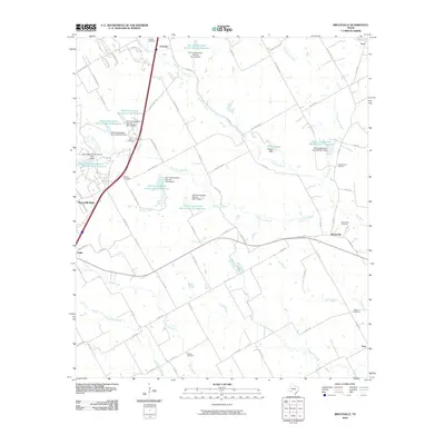 2010 Bruceville2010 Print · USGSThe Blackland Prairie landscape near Lorena and Bruceville-Eddy is documented here during a period of modern water management. Researchers can locate numerous rural burial sites like Cox Cemetery and Mooreville Cemetery alongside the banks of South Cow Bayou.
 - 2010 Map of Kosse East, 2010 Print
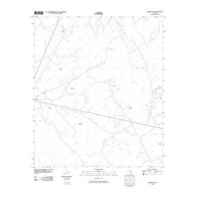 2010 Kosse East2010 Print · USGSThe rural landscape around Kosse is revealed in this early twenty-first-century survey, defined by its intricate creek systems and deep genealogical roots. Researchers can trace historic family burial sites like Eutaw and Buttrill Cemetery along the banks of Pin Oak Creek.
 - 2010 Map of Westphalia, 2010 Print
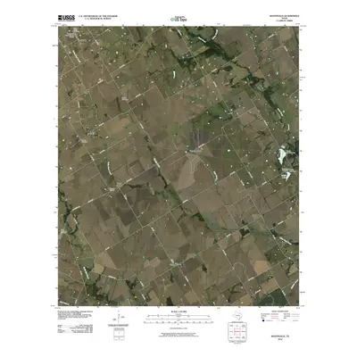 2010 Westphalia2010 Print · USGSFalls County is captured here in the early twenty-first century, showing a landscape defined by traditional rural settlements and family cemeteries. Genealogists can trace local heritage through the Westphalia Rural Historic District, Terry Chapel, and the Bluebonnet Cemetery.
 - 2010 Map of Reagan, 2010 Print
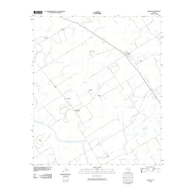 2010 Reagan2010 Print · USGSFalls County at the start of the decade reveals a landscape defined by the winding Brazos River and traditional farm-to-market routes. Genealogists can locate numerous family burial grounds including Old Bowman Cemetery and Washington Cemetery near Beacon.
 - 2010 Map of Lott, 2010 Print
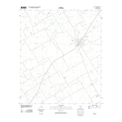 2010 Lott2010 Print · USGSFalls County at the start of the 21st century reveals a landscape where the town of Lott anchors a network of rural homesteads and oil interests. Researchers can trace family history at sites like Sacred Heart Cemetery or locate the nearby Lott Oil Field and the settlement of Travis.
 - 2010 Map of Bremond, 2010 Print
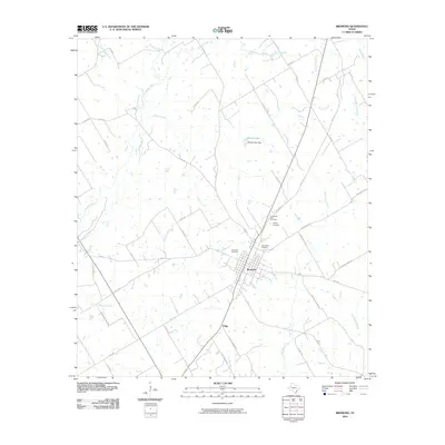 2010 Bremond2010 Print · USGSBremond and its surrounding Robertson County countryside are documented here just as the new millennium was beginning. Genealogists can locate several local burial grounds including Saint Mary Cemetery and Bremond Cemetery, or trace rural family roads like Mushinski-Rodzisie.
 - 2010 Map of Petteway, 2010 Print
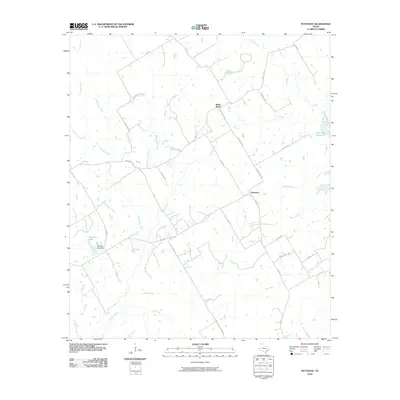 2010 Petteway2010 Print · USGSThe rural Robertson County landscape near Petteway is revealed in the early twenty-first century, showing a region defined by its creeks and ranching roads. Researchers can trace land ownership patterns and drainage along Big Sandy Creek, Abraham Lake, and White Rock.
 - 2010 Map of Yarrelton, 2010 Print
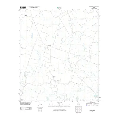 2010 Yarrelton2010 Print · USGSMilam County's rural heartland is captured here at the start of the decade, centered on the historic agricultural communities between Yarrelton and Buckholts. Genealogists can locate family sites near Marak or trace landmarks like the Saints Cyril and Methodius Cemetery.
 - 2010 Map of Baileyville, 2010 Print
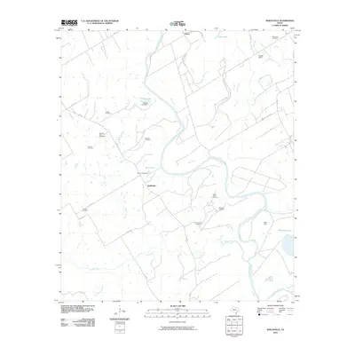 2010 Baileyville2010 Print · USGSMilam County's river-bottom lands are shown here at the turn of the decade, where the meandering Brazos River shapes local life. Family historians can trace numerous rural burial grounds like Bozeman Cemetery, Pearson Cemetery, and Mount Zion Cemetery.
 - 2010 Map of Seaton, 2010 Print
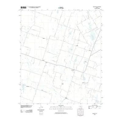 2010 Seaton2010 Print · USGSBell County agriculture and small-town Texas life are preserved here during the first decade of the new millennium. Researchers can trace family history through the National Cemetery and Dyess Cemetery or locate old community centers like Zabcikville and Ratibor.
 - 2010 Map of Troy, 2010 Print
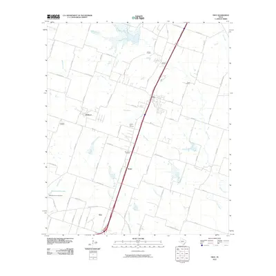 2010 Troy2010 Print · USGSBell County near the start of the twenty-first century shows a landscape where historic rural settlements like Pendleton and Berger meet modern transit corridors. Researchers can trace local heritage through numerous burial grounds, including Roberts Cemetery and Shiloh Cemetery.
 - 2010 Map of Belfalls, 2010 Print
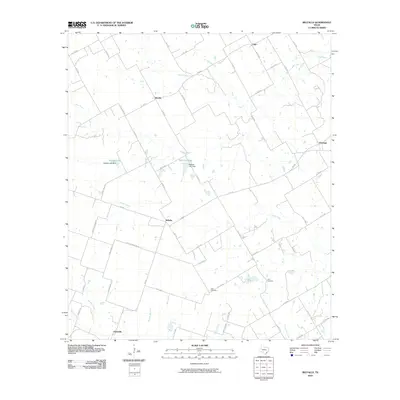 2010 Belfalls2010 Print · USGSFalls County at the start of the 21st century remains a landscape of deep-rooted agricultural communities and quiet creek beds. Genealogists and local historians can trace family locations near Belfalls, Oenaville, and Theo Cemetery.
 - 2010 Map of Cedar Springs, 2010 Print
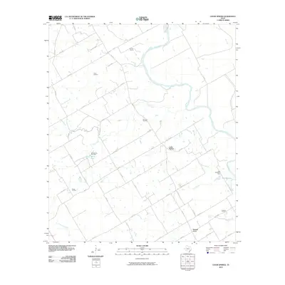 2010 Cedar Springs2010 Print · USGSFalls County is captured at a quiet moment in the early 21st century, centered on the winding Brazos River and its rural creek valleys. Genealogists can locate several family landmarks including Powell Cemetery, Ferguson Cemetery, and the community of Cedar Springs.
 - 2010 Map of Rosebud, 2010 Print
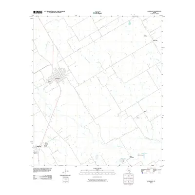 2010 Rosebud2010 Print · USGSFalls County at the start of the decade reveals a landscape of enduring rural settlements and family-named landmarks. Researchers can locate historic burial sites like Woodland Cemetery or trace the small communities of Burlington and Wilderville.
 - 2012 Map of Westphalia, 2012 Print
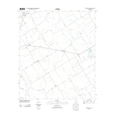 2012 Westphalia2012 Print · USGSFalls County farming communities continue their heritage in this late-modern record of Central Texas. Genealogists can trace family footprints through the Westphalia Rural Historic District and markers at Saint Joseph Cem and Bluebonnet Cem.
Showing maps 1-25 of 120
Top cities of Falls County
Frequently asked questions
- What are the different types of historical maps available for Falls County?
- What is the oldest map of Falls County?
- Where can I purchase historical maps of Falls County for my home or office?
- Where can I download high-res historical maps of Falls County?
- Are there historical topographic maps available for Falls County?
- Is there historical aerial imagery available for Falls County?
- Where are historical maps of Falls County sourced from?