2020s Maps of Fannin County, Texas
Explore 28 historic maps of Fannin County from the 2020s. These maps offer a rare glimpse into what life looked like during the 2020s — showing old roads, neighborhoods, homes, and landmarks that have changed or disappeared over time.
Whether you're researching your family's past, planning a metal detecting trip, or studying how Fannin County's landscape evolved across the 2020s, these high-resolution maps are a powerful tool for exploring the history of this region.
- Focus on a specific era: All maps on this page are from the 2020s, giving you a focused view of this time period.
- See what’s changed: Compare century-old streets, trails, and buildings to today's modern landscape using overlays and satellite layers.
- Research with precision: Use these maps for genealogy, historical research, land use analysis, or educational projects.
- View, download, or print: Maps are fully viewable online in high resolution, and can be downloaded or printed for your own records.
Start exploring Fannin County's history through authentic maps from the 2020s. This is your window into the past.
Fannin County, TX maps
(28)- 2022 Map of Kemp, 2022 Print
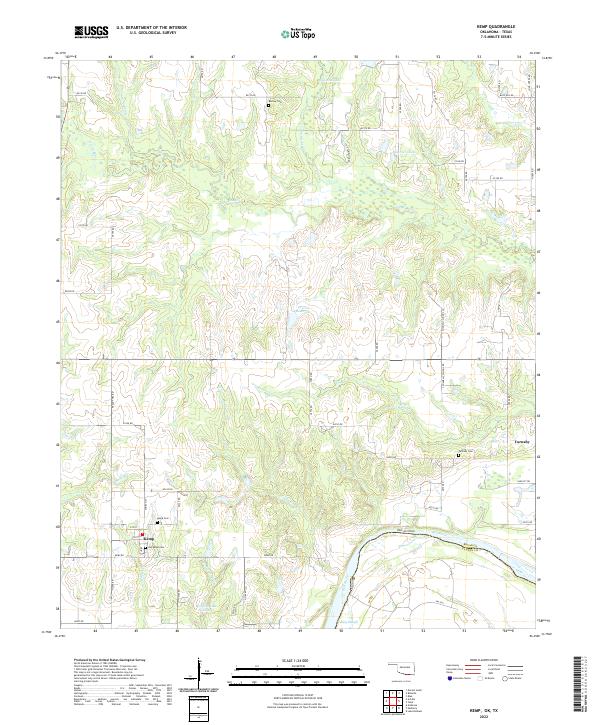 2022 Kemp2022 Print · USGSThe Oklahoma-Texas borderlands along the Red River are preserved here in the early twenty-first century. Genealogists and local historians can trace the grid of rural roads to find Burney Cem, Old Kemp Cem, and the riverfront at Caney Slough.
 - 2022 Map of Yuba, 2022 Print
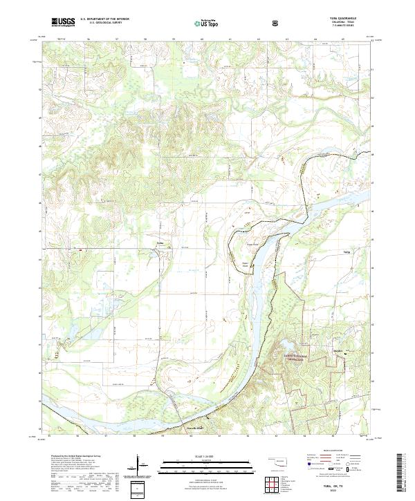 2022 Yuba2022 Print · USGSThe Oklahoma-Texas borderlands are captured here in the early 2020s, centered on the rural communities north of the Red River. Researchers can locate family landmarks such as the Duplex Cem or trace the winding waters of Island Bayou and Shellenburger Lake.
 - 2022 Map of Lake West, 2022 Print
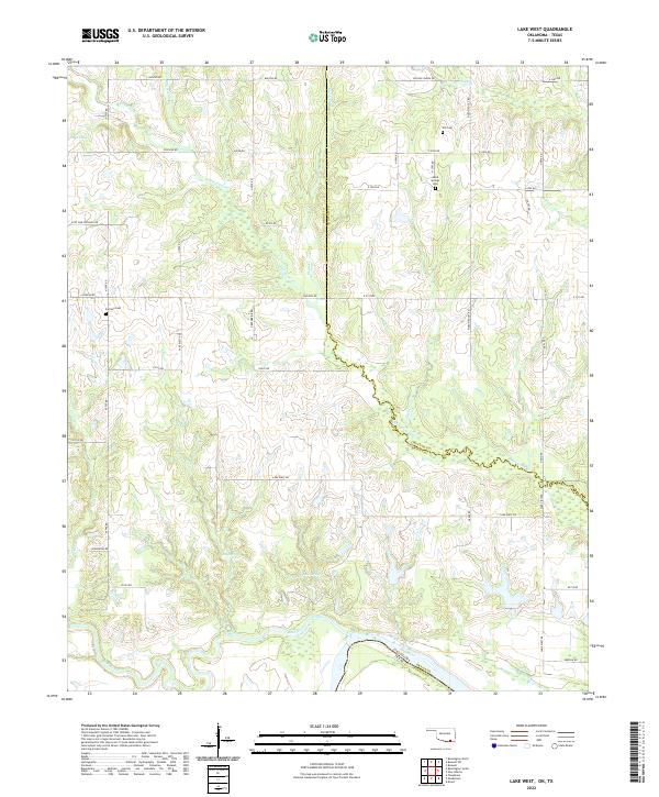 2022 Lake West2022 Print · USGSBryan County, Oklahoma, meets the Texas border in this detailed topographic survey. Genealogists can trace family landmarks like Good Springs Cemetery, Jackson Cemetery, and natural landmarks such as Siby Spring and the Blue River.
 - 2022 Map of Tigertown, 2022 Print
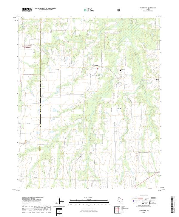 2022 Tigertown2022 Print · USGSLamar County in the early 2020s remains a landscape of quiet rural settlements and winding waterways. Genealogists can trace family histories at Tigertown Cem, Strother Cem, and Forest Hill Cem or locate the Forest Hill Airport.
 - 2022 Map of Ladonia, 2022 Print
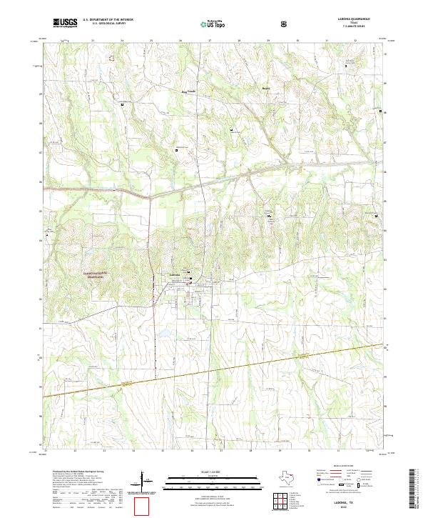 2022 Ladonia2022 Print · USGSThe rural communities and cemetery sites of Fannin County are documented here during the early twenty-first century. Genealogists and local historians can trace family plots at Ladonia Cem and Lyday Cem or explore the uniquely named settlement of Bug Tussle.
 - 2022 Map of Petty, 2022 Print
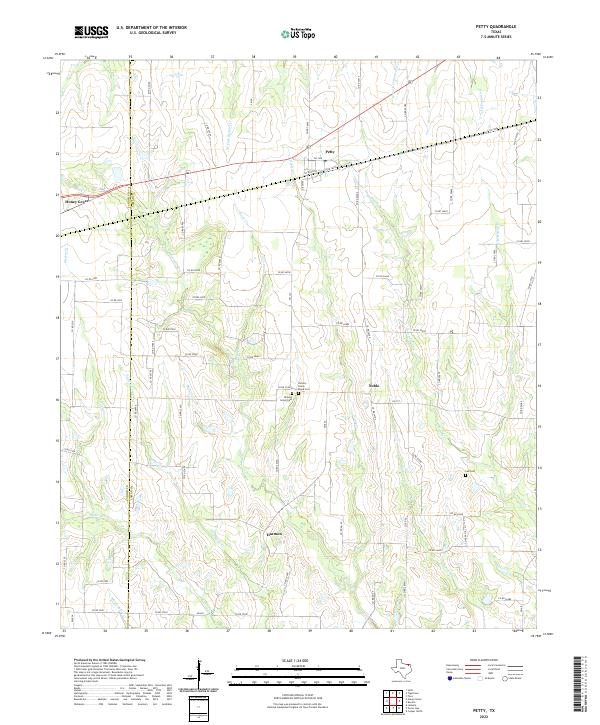 2022 Petty2022 Print · USGSLamar and Fannin counties are surveyed here in the early 2020s, showing a quiet agricultural landscape of established farmsteads and rural crossroads. Genealogists can trace family heritage at Hickory Grove Cemetery and Lee Cemetery, or locate the centers of Noble and Harmon.
 - 2022 Map of Pecan Gap, 2022 Print
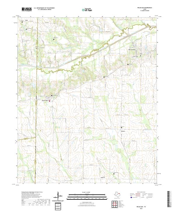 2022 Pecan Gap2022 Print · USGSNortheast Texas at the Delta-Lamar county line is defined by a landscape of quiet rural crossroads and family homesteads. Researchers can trace the histories of communities like Pecan Gap, Ben Franklin, and Rattan, alongside numerous local landmarks such as Garden of Memories Cem and the North Sulphur River.
 - 2022 Map of Monkstown, 2022 Print
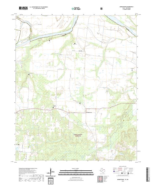 2022 Monkstown2022 Print · USGSFannin County, Texas, and the Oklahoma border are documented here in the early twenty-first century, showing the rural layout along the Red River. Genealogists can locate several family burial grounds including Liberty Cem, Bernethy Bridges Cem, and Friendship Cem.
 - 2022 Map of Direct, 2022 Print
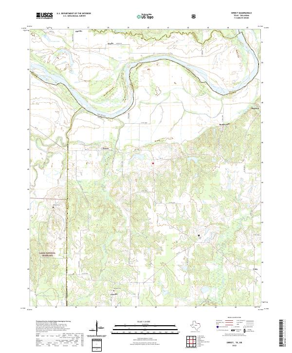 2022 Direct2022 Print · USGSLamar County, Texas, along the winding bends of the Red River is shown here in the modern era. Researchers can locate family landmarks like Whitten Cem or trace rural settlements such as Direct, Georgia, and Ragtown among the creeks and grasslands.
 - 2022 Map of Selfs, 2022 Print
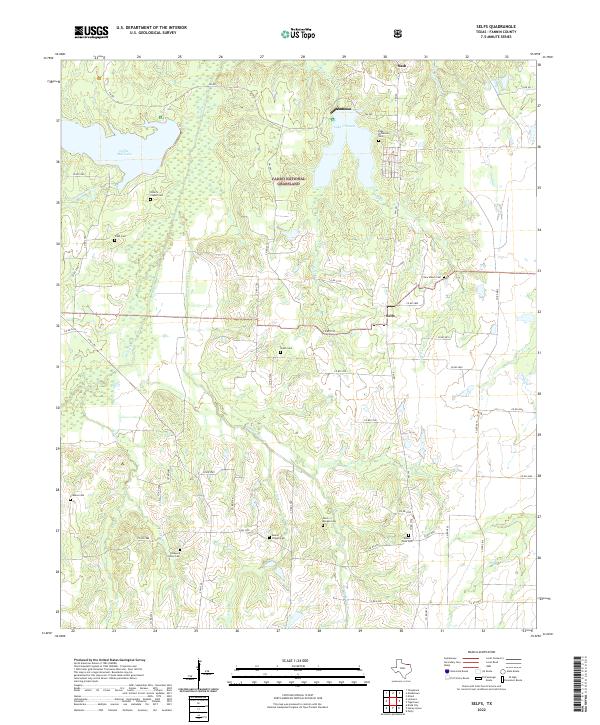 2022 Selfs2022 Print · USGSFannin County is shown here in its contemporary rural character, where the Caddo National Grassland meets local farming communities. Researchers can locate numerous family and community landmarks, including Selfs, Lake Crockett, and the Allens Chapel Cem.
 - 2022 Map of Honey Grove, 2022 Print
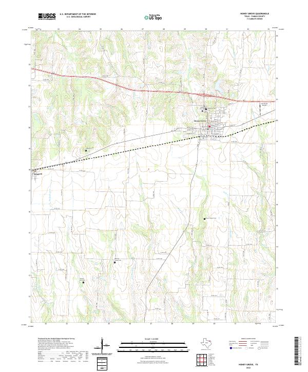 2022 Honey Grove2022 Print · USGSFannin County's agricultural and township patterns are well-preserved here in the early twenty-first century. Researchers can trace family history at numerous rural sites like McCraws Chapel Cem, Floyd Thicket Cem, and Oakwood Cem.
 - 2022 Map of Leonard, 2022 Print
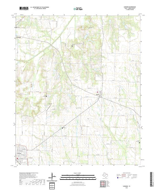 2022 Leonard2022 Print · USGSSouthern Fannin County is presented in the early 2020s, showing a well-connected agricultural landscape surrounding the primary settlements of Leonard and Bailey. Genealogists and local historians can trace legacy burial sites including Randolph - Lindsey Cem and the Vaughn Family Cem.
 - 2022 Map of Lamasco, 2022 Print
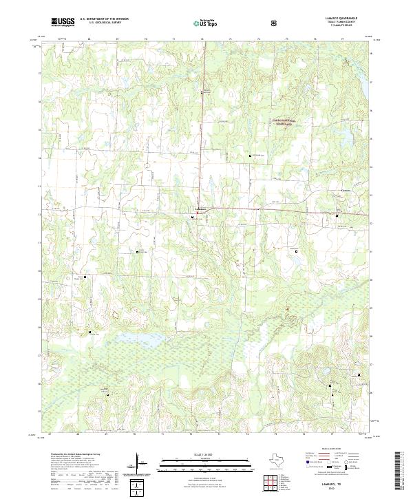 2022 Lamasco2022 Print · USGSFannin County ranchlands and timbered creek bottoms appear here in the early 2020s, centered on the community of Lamasco. Researchers can locate several family and historic burial sites, including Camp Benjamin CSA Cem, Gum Springs Cem, and Orphanage Cem.
 - 2022 Map of Wolfe City, 2022 Print
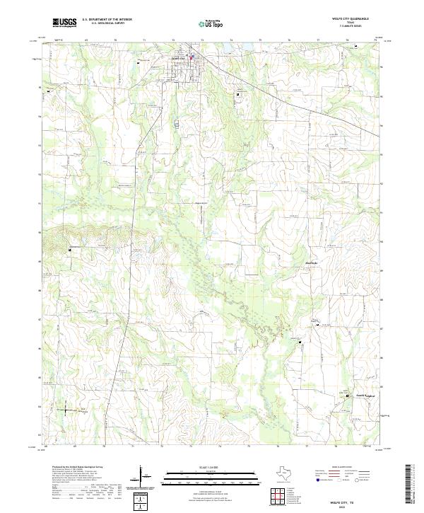 2022 Wolfe City2022 Print · USGSWolfe City stands as a focal point in this North Texas landscape during the early 2020s, anchoring a network of rural roads and river bottoms. Researchers can trace the layout of several historical burial grounds, including Mount Carmel Cem and Wesley Chapel Cem, or explore the course of the S Sulphur River.
 - 2022 Map of Pike, 2022 Print
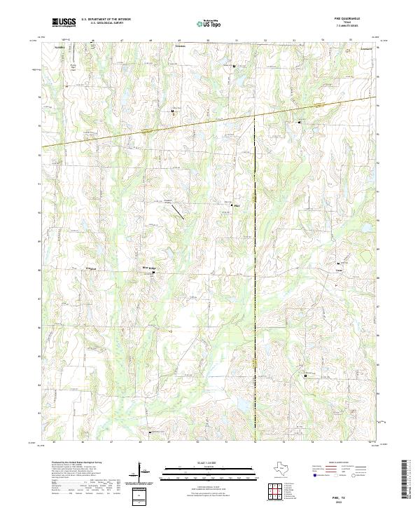 2022 Pike2022 Print · USGSNortheast Texas at the crossroads of three counties shows a preserved landscape of rural hamlets and family cemeteries. Genealogists can trace local roots at Old Richards Cemetery, while aviators might recognize Flying Tiger Field near Nobility.
 - 2022 Map of Whitewright, 2022 Print
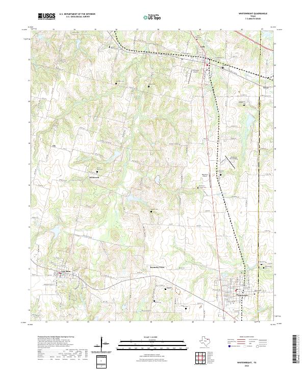 2022 Whitewright2022 Print · USGSGrayson and Fannin counties appear here in the early 2020s, showing a landscape defined by prairie creek systems and small-town Texas life. Researchers can find numerous family-centric sites like Kentucky Town Cem, Antioch Baptist Cem, and Tom Bean.
 - 2022 Map of Pilot Grove, 2022 Print
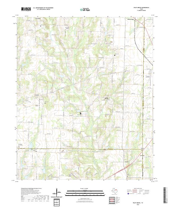 2022 Pilot Grove2022 Print · USGSThe rural borders of Grayson, Fannin, and Collin counties are detailed here in the 2020s. Genealogists can trace family heritage at Warden Cem and Pilot Grove Cem, or locate landmarks like Tilghman Airport and the community of Desert.
 - 2022 Map of Ector, 2022 Print
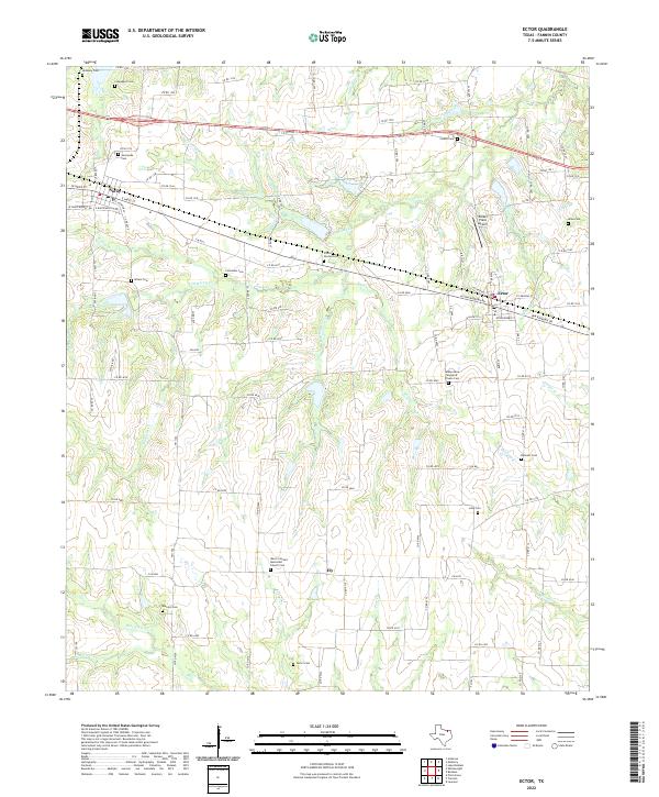 2022 Ector2022 Print · USGSThe rural landscape between Savoy and Ector is captured here in the early twenty-first century. Genealogists can trace family heritage through numerous burial sites including Coontown Cem, Blanton Cem, and Wrenn Cem.
 - 2022 Map of Gober, 2022 Print
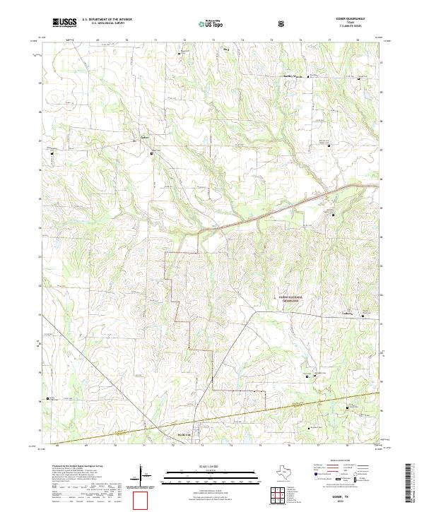 2022 Gober2022 Print · USGSFannin and Hunt counties are captured here in recent years, showing a rural landscape defined by public lands and small agricultural settlements. Genealogists can locate numerous local burial sites like Gober Cem and Woods Cem near the Caddo National Grassland.
 - 2022 Map of Ambrose, 2022 Print
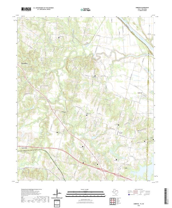 2022 Ambrose2022 Print · USGSGrayson County's agricultural heartland is documented here in the early twenty-first century, bounded by the Red River and the Fannin County line. Researchers can trace numerous family burial sites like Virginia Point Cem and Cherry Mound Cem or locate the Old RR Grade.
 - 2022 Map of Blue Ridge, 2022 Print
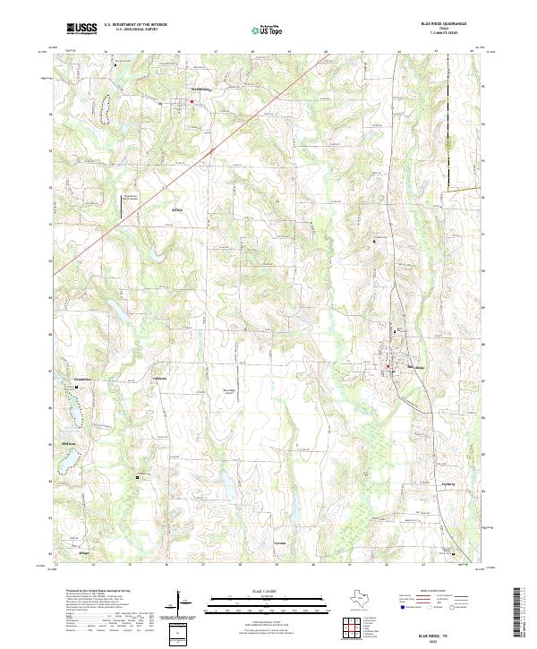 2022 Blue Ridge2022 Print · USGSThis Collin County landscape reflects contemporary Texas rural life amidst a web of historic family landmarks and creek-side settlements. Genealogists can locate numerous burial sites and small communities including Stoney Point Cem, Valdasta, and Fayburg.
 - 2022 Map of Bonham, 2022 Print
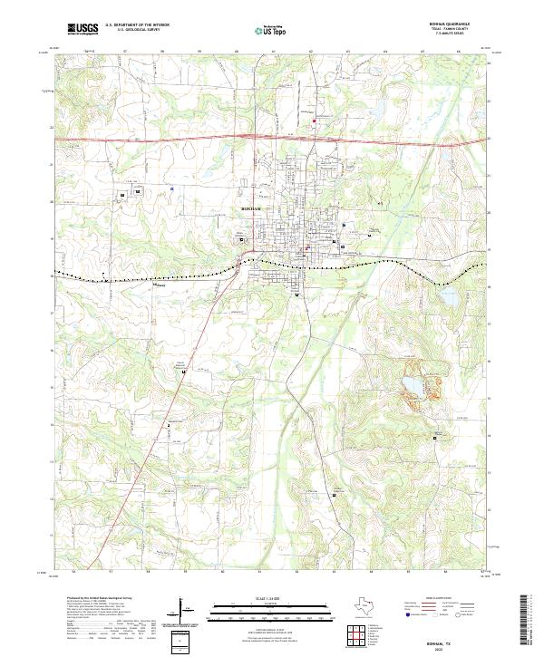 2022 Bonham2022 Print · USGSBonham and the surrounding Fannin County countryside are documented here in the early 2020s, showing a landscape defined by historic family-named sites and creek systems. Genealogists can locate several burial grounds like Arledge Ridge Cem and Hampton Cem or trace the drainage of Bois d'Arc Creek.
 - 2022 Map of Celeste, 2022 Print
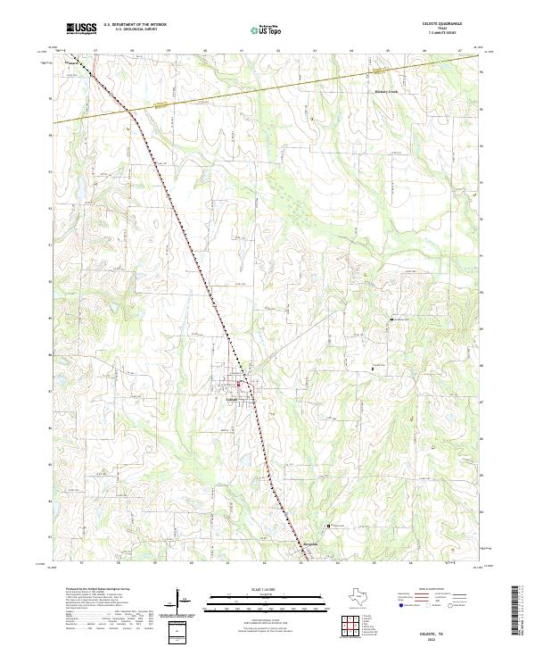 2022 Celeste2022 Print · USGSNorth Texas agricultural life centers on Celeste and Kingston in the early twenty-first century. Genealogists and local historians can trace rural property access and burial sites like Nicholson Cem or the winding course of the Cowleech Fork Sabine River.
 - 2022 Map of Mulberry, 2022 Print
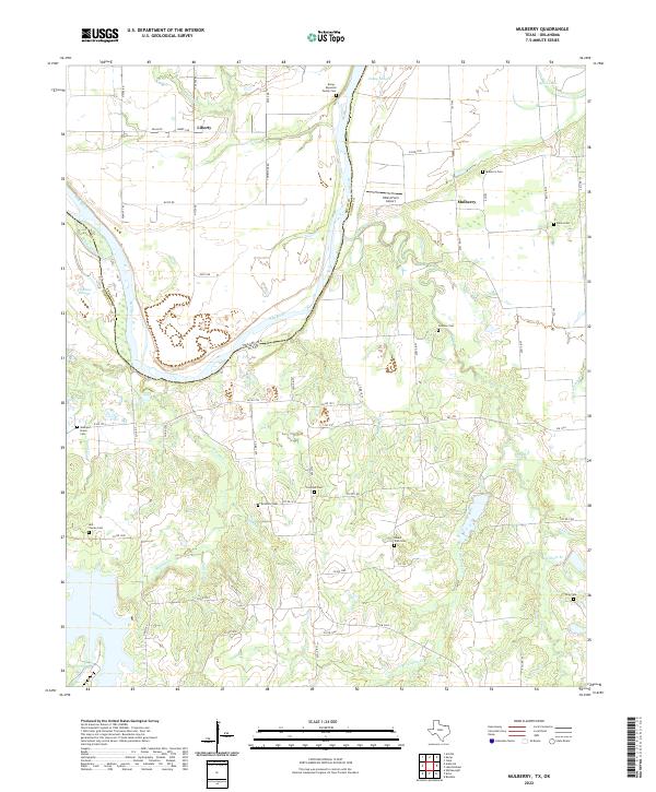 2022 Mulberry2022 Print · USGSThe Red River frontier near the Oklahoma border is documented here in the early twenty-first century, showing the rural settlement of Fannin County. Genealogists can locate numerous small burial grounds including Johnson Cem, Fairview Cem, and the Bell - Youree Cem.
 - 2022 Map of Telephone, 2022 Print
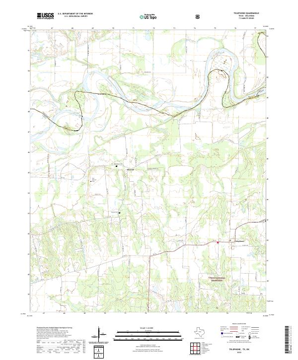 2022 Telephone2022 Print · USGSFannin County, Texas, along the Oklahoma border is documented here in the early twenty-first century, showing the rural communities between the Red River and the national grasslands. Genealogists can trace family sites at Old Elwood Cem, Bethlehem Cem, and Forest Grove Cem.
Showing maps 1-25 of 28
Top cities of Fannin County
- Bonham historical maps
- Leonard historical maps
- Honey Grove historical maps
- Savoy historical maps
- Trenton historical maps
- Ladonia historical maps
See more
Frequently asked questions
- What are the different types of historical maps available for Fannin County?
- What is the oldest map of Fannin County?
- Where can I purchase historical maps of Fannin County for my home or office?
- Where can I download high-res historical maps of Fannin County?
- Are there historical topographic maps available for Fannin County?
- Is there historical aerial imagery available for Fannin County?
- Where are historical maps of Fannin County sourced from?