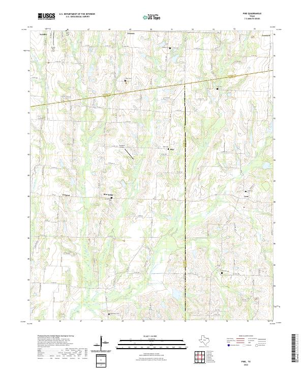
2022 Map of Pike
USGS Topo · Published 2022This historical map portrays the area of Pike in 2022, primarily covering Collin County as well as portions of Fannin County and Hunt County. Featuring a scale of 1:24000, this map provides a highly detailed snapshot of the terrain, roads, buildings, counties, and historical landmarks in the Pike region at the time. Published in 2022, it is the sole known edition of this map.
Map Details
Editions of this 2022 Pike Map
This is the sole edition of this map. No revisions or reprints were ever made.
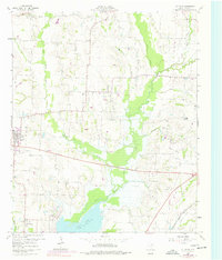
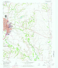
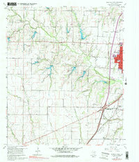
Historical Maps of Fannin County Through Time
10 maps found

1924 Farmersville 3-c
Collin County, TX

1924 Mc Kinney 4-d
Collin County, TX
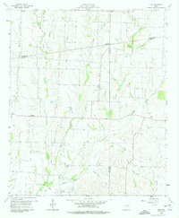
1960 Culleoka
Collin County, TX
1960 McKinney East
Collin County, TX
1960 McKinney West
Collin County, TX
1960 Pike
Collin County, TX
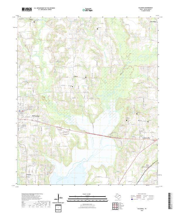
2022 Culleoka
Collin County, TX
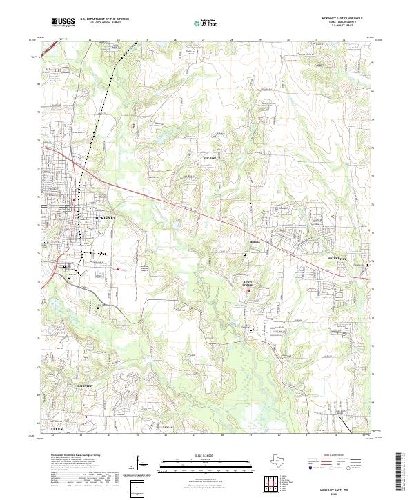
2022 McKinney East
Collin County, TX
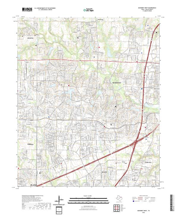
2022 McKinney West
Collin County, TX
2022 Pike
Collin County, TX