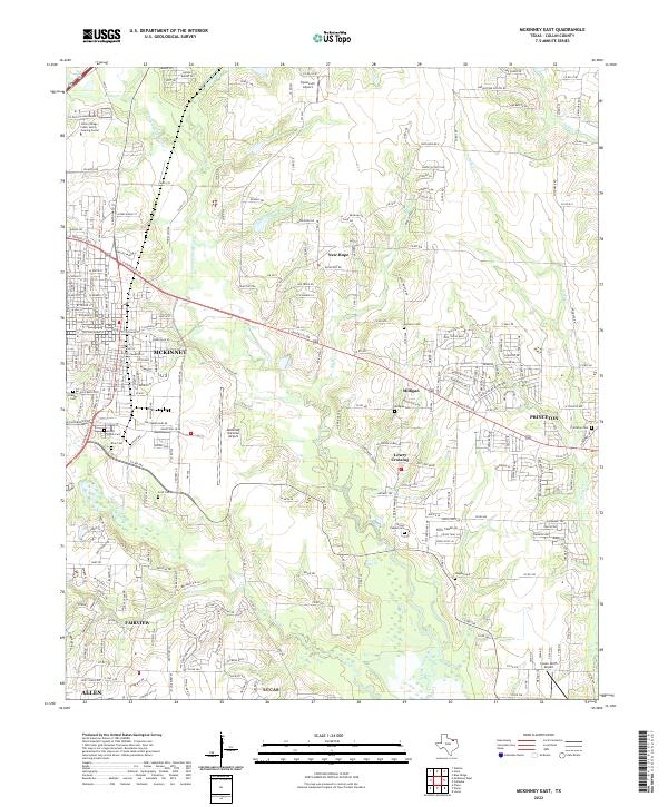
2022 Map of McKinney East
USGS Topo · Published 2022About this map
The E Fork Trinity River and its numerous tributaries, including Honey Cr and Wilson Cr, shape the landscape of this Collin County corridor during a period of significant suburban expansion. While the city of McKinney dominates the western edge and Princeton lies to the east, the map preserves the locations of numerous historic burial grounds that predate the modern residential grid, such as Pecan Grove Cem and Milligan Cem. The presence of the McKinney National Airport and the Collin College Public Safety Training Center indicates the area's transition into a regional hub for aviation and professional education. Smaller communities like New Hope, Milligan, and Lowry Crossing maintain their identity amidst the growing connectivity provided by E University Dr and W Eldorado Pkwy.
Find a feature on this map
33 named features on this map. Tap any name to fly to it.
Don’t see what you’re looking for? This feature index may not catch every label — zoom into the map to look around manually.
Map Details
Editions of this 2022 McKinney East Map
This is the sole edition of this map. No revisions or reprints were ever made.
Other maps of this area

1924 · Farmersville 3-c
USGS Topo · 1:48,000

1924 · Mc Kinney 4-d
USGS Topo · 1:48,000

1929 · McKinney
USGS Topo · 1:62,500

1930 · Farmersville
USGS Topo · 1:62,500

1954 · Sherman
USGS Topo · 1:250,000

1958 · Sherman
USGS Topo · 1:250,000

1959 · Wylie
USGS Topo · 1:24,000

1960 · McKinney East
USGS Topo · 1:24,000

1960 · Plano
USGS Topo · 1:24,000

1960 · Blue Ridge
USGS Topo · 1:24,000