Old Maps of Hilltop, Texas for Metal Detecting
Plan your next treasure hunt with 13 historic maps of Hilltop. Find old homesites, ghost towns, trails, and gathering spots that may be lost to time — perfect for identifying promising metal detecting locations.
- Locate forgotten sites: Uncover places like long-lost settlements, abandoned rail lines, or gathering spots.
- Plan better hunts: Use map overlays combined with LiDAR or satellite views to narrow in on historically rich areas.
- Made for detectorists: Thousands of hobbyists use these maps to discover relics, coins, and hidden history.
Use these historic maps to boost your research and find new opportunities beneath the surface of Hilltop.
Hilltop, TX maps
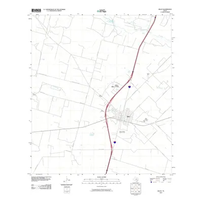
(13)- 1942 Map of Dilley, 1956 Print
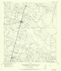 1942 Dilley1956 Print · USGSSouth Texas ranching and rail infrastructure are on full display during the early 1940s at the Frio and La Salle county line. Genealogists and historians can trace family properties like Nagy Witherspoon Ranch and Julia Harris Ranch along the International and Great Northern railroad.
 - 1953 Map of Crystal City
 1953 Crystal City1953 Print · USGSSouth Texas in the early fifties was a landscape of expanding oil fields and vital rail connections. Genealogists and researchers can trace family lands along the Nueces River or locate heritage sites in Asherton, Big Wells, and Batesville.
 - 1955 Map of Crystal City, 1976 Print
 1955 Crystal City1976 Print · USGSSouth Texas ranching and oil country come into focus in the mid-fifties as the rail lines and rivers connect growing hubs. Researchers can trace the development of energy fields like Washburn Oil Field or locate historic settlements from Asherton to Three Rivers.
 - 1961 Map of Crystal City
 1961 Crystal City1961 Print · USGSSouth Texas in the early sixties reveals a landscape of massive cattle ranches and emerging oil fields. Genealogists and historians can trace the Missouri Pacific rail lines through Crystal City, or locate water features like Espantosa Lake and Boynton Reservoir.
 - 1968 Map of Crystal City
 1968 Crystal City1968 Print · USGSSouth Texas in the late sixties reveals a landscape shaped by ranching roots and the vital waters of the Nueces River. Researchers can trace the rail-driven growth of Crystal City or locate landmarks like Pilot Knob and Espantosa Lake.
 - 1974 Map of Dilley, 1977 Print
 1974 Dilley1977 Print · USGSThe South Texas brush country around Dilley appears here in the mid-1970s, shaped by the confluence of the Frio and Leona rivers. Researchers can trace local landmarks like the Winter Garden Rodeo Ground, the Missouri Pacific rail line, and the Hugo Cem.
 - 1985 Map of Crystal City
 1985 Crystal City1985 Print · USGSThe Texas Winter Garden region comes into focus during the mid-1980s, detailing a landscape of irrigation, energy, and rail. Genealogists and researchers can trace lineage through rural centers like Big Wells, Winter Haven, and Loma Vista or locate early industrial sites such as the Big Wells Oil Field.2 unique versions available
 - 2002 Map of Dilley
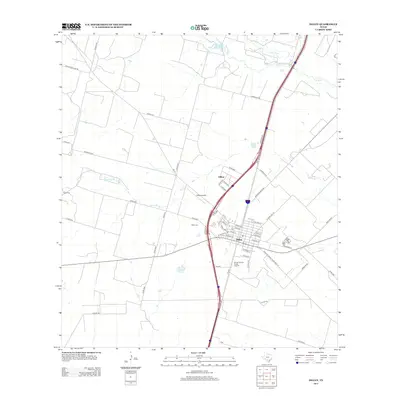
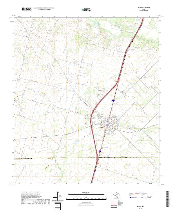
 2002 Dilley2002 Print · USGSThe South Texas Brush Country around the turn of the millennium shows a landscape defined by ranching and the rail corridor. Researchers can locate the Dilley Cemetery, follow the Union Pacific Railroad through Millett, or trace the banks of Cibolo Creek.
 - 2010 Map of Dilley, 2010 Print
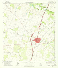
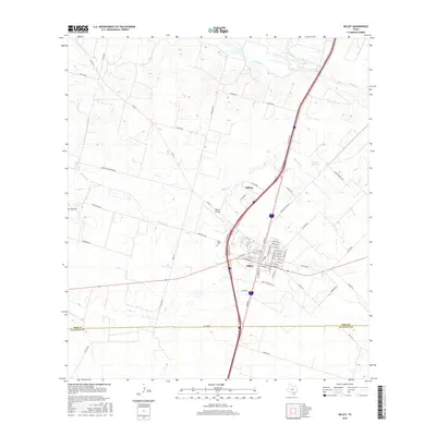
 2010 Dilley2010 Print · USGSCovers Hilltop, including Dilley, Frio County, and other nearby areas
 - 2013 Map of Dilley, 2013 Print
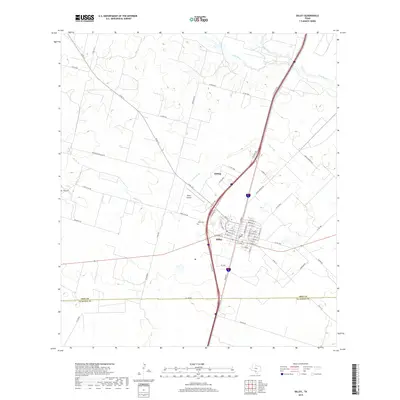
 2013 Dilley2013 Print · USGSCovers Hilltop, including Dilley, Frio County, and other nearby areas
 - 2016 Map of Dilley, 2016 Print
 2016 Dilley2016 Print · USGSCovers Hilltop, including Dilley, Frio County, and other nearby areas
 - 2019 Map of Dilley, 2019 Print
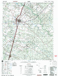
 2019 Dilley2019 Print · USGSCovers Hilltop, including Dilley, Frio County, and other nearby areas
 - 2022 Map of Dilley, 2022 Print
 2022 Dilley2022 Print · USGSThe town of Dilley and the surrounding Frio County ranchlands are documented here in the early twenty-first century. Genealogists and researchers can trace local landmarks like Hugo Cem, Dilley Airpark, and the seasonal flows of the Leona River.
End of results
Showing maps 1-13 of 13
Top cities near Hilltop
Frequently asked questions
- What are the different types of historical maps available for Hilltop?
- What is the oldest map of Hilltop?
- Where can I purchase historical maps of Hilltop for my home or office?
- Where can I download high-res historical maps of Hilltop?
- Are there historical topographic maps available for Hilltop?
- Is there historical aerial imagery available for Hilltop?
- Where are historical maps of Hilltop sourced from?