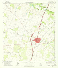
1974 Map of Dilley
USGS Topo · Published 1977About this map
Dilley and the surrounding South Texas landscape are defined by the convergence of the Leona River and the Frio River in the mid-1970s. The town’s layout is deeply intertwined with the Missouri Pacific railroad line, which runs northeast to southwest through the center of the community. Local civic life is prominent, evidenced by the Winter Garden Rodeo Ground, Gosch Athletic Field, and a local High Sch.
Find a feature on this map
21 named features on this map. Tap any name to fly to it.
Don’t see what you’re looking for? This feature index may not catch every label — zoom into the map to look around manually.
Map Details
Editions of this 1974 Dilley Map
This is the sole edition of this map. No revisions or reprints were ever made.
Other maps of this area

1925 · Pearsall 1-c
USGS Topo · 1:48,000

1927 · Pearsall
USGS Topo · 1:62,500

1942 · Divot
USGS Topo · 1:62,500

1942 · Dilley
USGS Topo · 1:62,500

1953 · Crystal City
USGS Topo · 1:250,000

1955 · Crystal City
USGS Topo · 1:250,000

1956 · Woodward
USGS Topo · 1:62,500

1956 · Divot
USGS Topo · 1:62,500

1961 · Crystal City
USGS Topo · 1:250,000

1964 · Pearsall South
USGS Topo · 1:24,000