2010s Maps of Santa Fe, Texas
Explore 16 historic maps of Santa Fe from the 2010s. These maps offer a rare glimpse into what life looked like during the 2010s — showing old roads, neighborhoods, homes, and landmarks that have changed or disappeared over time.
Whether you're researching your family's past, planning a metal detecting trip, or studying how Santa Fe's landscape evolved across the 2010s, these high-resolution maps are a powerful tool for exploring the history of this region.
- Focus on a specific era: All maps on this page are from the 2010s, giving you a focused view of this time period.
- See what’s changed: Compare century-old streets, trails, and buildings to today's modern landscape using overlays and satellite layers.
- Research with precision: Use these maps for genealogy, historical research, land use analysis, or educational projects.
- View, download, or print: Maps are fully viewable online in high resolution, and can be downloaded or printed for your own records.
Start exploring Santa Fe's history through authentic maps from the 2010s. This is your window into the past.
Santa Fe, TX maps
(16)- 2010 Map of Mustang Bayou, 2010 Print
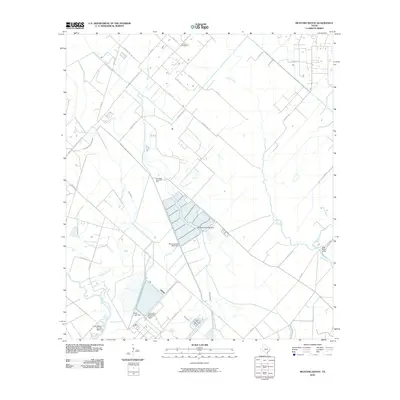 2010 Mustang Bayou2010 Print · USGSCoastal Brazoria County in the early twenty-first century is a landscape of industrial plants and winding waterways. Researchers can trace the sprawling Equistar Chemical Plant, find the German Cemetery, and locate the Chocolate Bayou Oil Field.
 - 2010 Map of Dickinson, 2010 Print
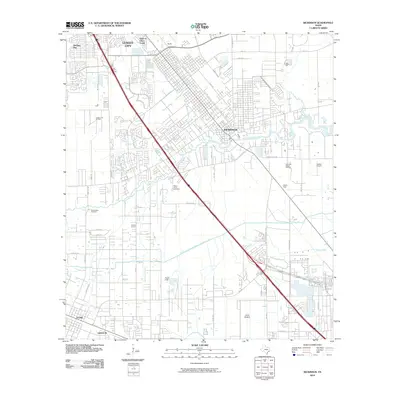 2010 Dickinson2010 Print · USGSNear the Texas coast in the late 2000s, this area shows the ongoing growth of Galveston County's residential and industrial corridors. Genealogists and historians can trace local landmarks like Old Arcadia Cemetery, the Dickinson Gillock Oil Field, and the site of Camp Wallace.
 - 2010 Map of Algoa, 2010 Print
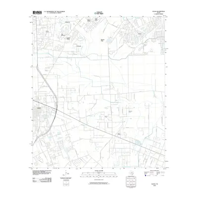 2010 Algoa2010 Print · USGSCoastal prairie life and suburban expansion define this 2010 look at the corridor between Alvin and Algoa. Researchers can locate legacy sites like the Magnolia Cemetery and the Hastings Oil Field alongside the winding Dickinson Bayou.
 - 2010 Map of Hitchcock, 2010 Print
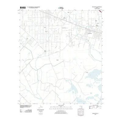 2010 Hitchcock2010 Print · USGSHitchcock and the Texas coastal prairie are captured here during a period of industrial and residential stability. Genealogists and local historians can locate several major burial sites, including Alta Loma Cemetery, and trace the extensive network of energy sites like the Sarah White Oil Field.
 - 2013 Map of Mustang Bayou, 2013 Print
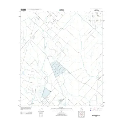 2013 Mustang Bayou2013 Print · USGSCoastal Brazoria County in the early twenty-first century reveals a landscape shaped by oil extraction and waterway management. Genealogists and local researchers can locate the German Cem or trace industrial footprints at the Chocolate Bayou Oil Field and Monsanto Reservoir.
 - 2013 Map of Algoa, 2013 Print
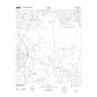 2013 Algoa2013 Print · USGSThe community of Algoa sits at the intersection of energy production and coastal expansion during the early twenty-first century. Researchers can trace the layout of the Hastings Oil Field alongside local landmarks like Magnolia Cem and the Kami-Kazi Airport.
 - 2013 Map of Dickinson, 2013 Print
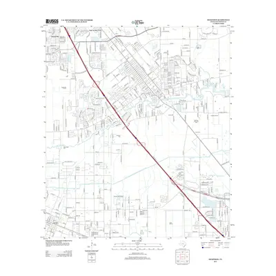 2013 Dickinson2013 Print · USGSGalveston County's coastal prairies show a mix of industry and suburban growth in the early twenty-first century. Genealogists and historians can locate Old Arcadia Cem and Mt Olivet Cem or trace the League City Oil Field.
 - 2013 Map of Hitchcock, 2013 Print
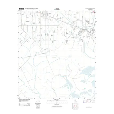 2013 Hitchcock2013 Print · USGSCoastal Texas near the Gulf of Mexico is shown here in the early twenty-first century, centered on the oil fields and bayous of the mainland. Researchers can trace family history at Galveston Memorial Cem or locate the old Gulf Colorado and Santa Fe RR line.
 - 2016 Map of Algoa, 2016 Print
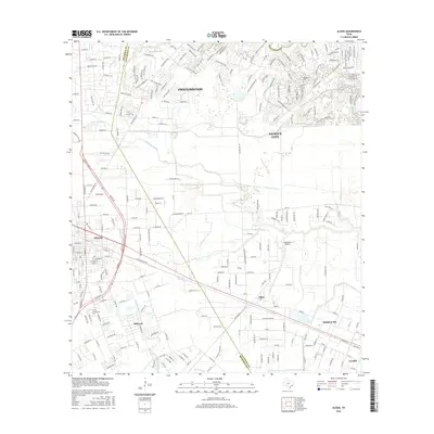 2016 Algoa2016 Print · USGSThe coastal prairie south of Houston was a landscape of rapid suburban growth and historic bayous during the mid-2010s. Genealogists and local historians can trace the developments around Friendswood and Alvin, alongside landmarks like Magnolia Cem and the American Canal.
 - 2016 Map of Dickinson, 2016 Print
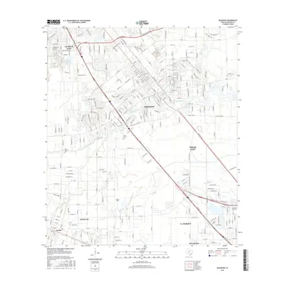 2016 Dickinson2016 Print · USGSCoastal Galveston County is shown during a period of significant growth and transit development in the mid-2010s. Genealogists and local historians can trace family locations near Mount Olivet Cem and the community of Arcadia, or locate the Coll of the Mainland.
 - 2016 Map of Hitchcock, 2016 Print
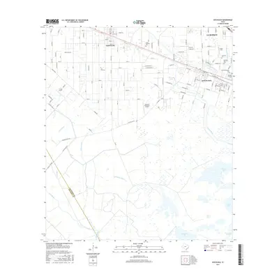 2016 Hitchcock2016 Print · USGSCoastal Texas expansion and deep-rooted family history are visible here as the 2010s began near the Gulf. Genealogists and historians can trace local lineages at Alta Loma Cem or Hitchcock Cem while mapping the wetlands of Halls Bayou.
 - 2016 Map of Mustang Bayou, 2016 Print
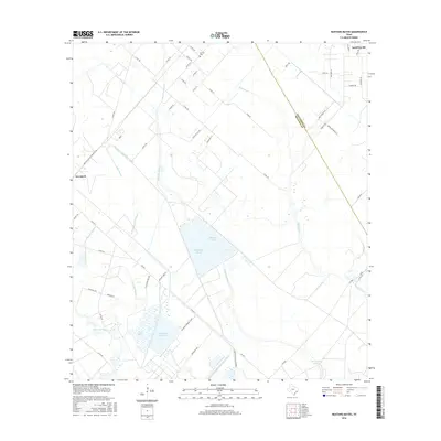 2016 Mustang Bayou2016 Print · USGSTexas coastal prairies and industrial corridors meet in this recent survey of the Galveston and Brazoria county line. Researchers can trace land use from the German Cem to massive infrastructure like the Monsanto Reservoir and Equistar Chemical Plant.
 - 2019 Map of Mustang Bayou, 2019 Print
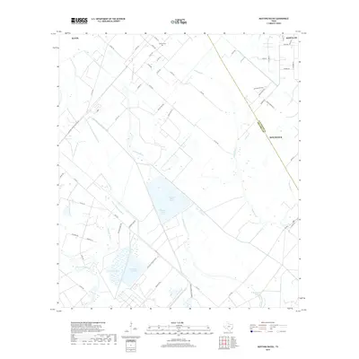 2019 Mustang Bayou2019 Print · USGSThe coastal plains of Brazoria and Galveston counties come alive in this recent survey of the industrial and agricultural heartland between Alvin and Santa Fe. Genealogists and historians can trace the German Cem and the extensive water networks of Mustang Bayou and the Chocolate Bayou Rice Canal.
 - 2019 Map of Algoa, 2019 Print
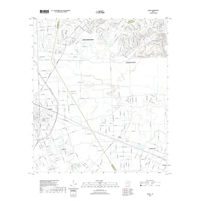 2019 Algoa2019 Print · USGSCoastal Texas development meets historic bayou lands in this modern 2019 survey of the Galveston and Brazoria county line. Genealogists and local historians can trace the growth of League City and Alvin alongside local landmarks like Magnolia Cem and the Bethany Ch near Algoa.
 - 2019 Map of Dickinson, 2019 Print
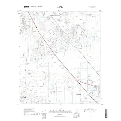 2019 Dickinson2019 Print · USGSGalveston County communities continue their suburban expansion toward the bayous in this 2010s survey. Researchers can locate family landmarks like Mount Olivet Cem and Old Arcadia Cem or trace the waterways of Dickinson Bayou and Moses Bayou.
 - 2019 Map of Hitchcock, 2019 Print
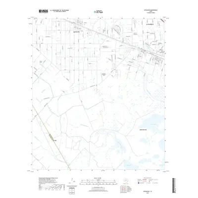 2019 Hitchcock2019 Print · USGSThe coastal plains between Santa Fe and Hitchcock are revealed in this modern survey of the Galveston County landscape. Genealogists and local historians can locate several local landmarks, including Alta Loma Cem, Freyer Field, and the BNSF Railway.
End of results
Showing maps 1-16 of 16
Top cities near Santa Fe
- Houston historical maps
- Pasadena historical maps
- Pearland historical maps
- League City historical maps
- Galveston historical maps
- Texas City historical maps
See more
Top neighborhoods of Santa Fe
Frequently asked questions
- What are the different types of historical maps available for Santa Fe?
- What is the oldest map of Santa Fe?
- Where can I purchase historical maps of Santa Fe for my home or office?
- Where can I download high-res historical maps of Santa Fe?
- Are there historical topographic maps available for Santa Fe?
- Is there historical aerial imagery available for Santa Fe?
- Where are historical maps of Santa Fe sourced from?