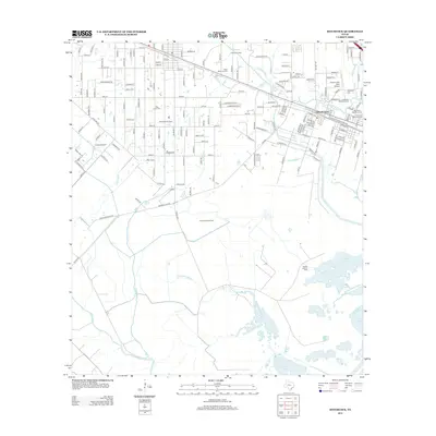
2013 Map of Hitchcock
USGS Topo · Published 2013About this map
Hitchcock serves as the central hub of this coastal Texas landscape, where the local economy is defined by the extraction of natural resources and a complex network of bayous. The industrial character of the region is evident in the Alta Loma Oil Field, Franks Oil Field, and Sarah White Oil Field, while the Gulf Colorado and Santa Fe RR provides the essential transit corridor through the settlement.
Find a feature on this map
164 named features on this map. Tap any name to fly to it.
Don’t see what you’re looking for? This feature index may not catch every label — zoom into the map to look around manually.
Map Details
Editions of this 2013 Hitchcock Map
This is the sole edition of this map. No revisions or reprints were ever made.
Other maps of this area

1929 · Dickinson
USGS Topo · 1:24,000

1929 · Karankawa Lake
USGS Topo · 1:24,000

1929 · Algoa
USGS Topo · 1:24,000

1929 · Hitchcock
USGS Topo · 1:24,000

1929 · Virginia Point
USGS Topo · 1:24,000

1929 · Texas City
USGS Topo · 1:24,000

1931 · Lake Como
USGS Topo · 1:24,000

1932 · Algoa
USGS Topo · 1:31,680

1932 · Dickinson
USGS Topo · 1:31,680

1932 · Texas City
USGS Topo · 1:31,680