Old Maps of Post, Texas for Metal Detecting
Plan your next treasure hunt with 14 historic maps of Post. Find old homesites, ghost towns, trails, and gathering spots that may be lost to time — perfect for identifying promising metal detecting locations.
- Locate forgotten sites: Uncover places like long-lost settlements, abandoned rail lines, or gathering spots.
- Plan better hunts: Use map overlays combined with LiDAR or satellite views to narrow in on historically rich areas.
- Made for detectorists: Thousands of hobbyists use these maps to discover relics, coins, and hidden history.
Use these historic maps to boost your research and find new opportunities beneath the surface of Post.
Post, TX maps
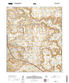
(14)- 1954 Map of Lubbock, 1958 Print
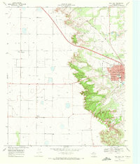
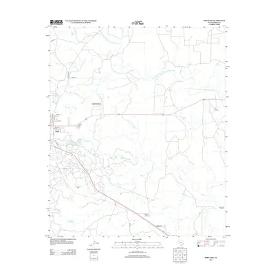
 1954 Lubbock1958 Print · USGSThe High Plains and Caprock region of West Texas come alive in the mid-1950s, showing a landscape defined by oil discovery and the Brazos River headwaters. Genealogists and historians can trace rail-connected towns like Roaring Springs, find the Pleasant Valley church, or locate family-named landmarks such as Soldier Mound.4 unique versions available
 - 1969 Map of Post East, 1972 Print
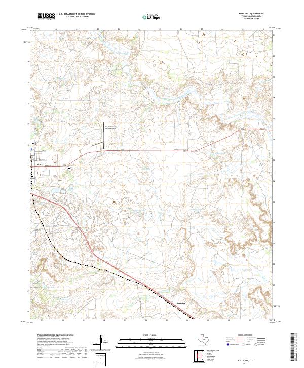
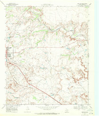 1969 Post East1972 Print · USGSIn the late 1960s, Post, Texas, sat at the intersection of the High Plains and the developing West Texas oil patches. Researchers can trace the Atchison Topeka and Santa Fe rail line, the Terrace Cem, and family landmarks like the Cross H Ranch.
 - 1969 Map of Post West, 1972 Print
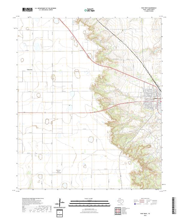
 1969 Post West1972 Print · USGSThe Garza County landscape in the late sixties reveals the industrial and civic heart of Post as it sits along the Atchison Topeka and Santa Fe line. Researchers can locate family landmarks like Garza Memorial Hospital or trace the early development of Close City.
 - 1986 Map of Slaton
 1986 Slaton1986 Print · USGSThe Llano Estacado meets the rolling breaks of the Brazos River in the mid-1980s as the region's ranching and rail roots remain visible. Trace the path of the Atchison Topeka and Santa Fe through Post or locate Guthrie Lake and Wilson.2 unique versions available
 - 2010 Map of Post East, 2010 Print
 2010 Post East2010 Print · USGSCovers Post, including Augustus, Garza County, and other nearby areas
 - 2010 Map of Post West, 2010 Print
 2010 Post West2010 Print · USGSCovers Post, including Close City, Graham, and other nearby areas
 - 2012 Map of Post East, 2012 Print
 2012 Post East2012 Print · USGSCovers Post, including Augustus, Garza County, and other nearby areas
 - 2012 Map of Post West, 2012 Print
 2012 Post West2012 Print · USGSCovers Post, including Close City, Graham, and other nearby areas
 - 2016 Map of Post East, 2016 Print
 2016 Post East2016 Print · USGSCovers Post, including Augustus, Garza County, and other nearby areas
 - 2016 Map of Post West, 2016 Print
 2016 Post West2016 Print · USGSCovers Post, including Close City, Graham, and other nearby areas
 - 2019 Map of Post West, 2019 Print
 2019 Post West2019 Print · USGSCovers Post, including Close City, Graham, and other nearby areas
 - 2019 Map of Post East, 2019 Print
 2019 Post East2019 Print · USGSCovers Post, including Augustus, Garza County, and other nearby areas
 - 2022 Map of Post West, 2022 Print
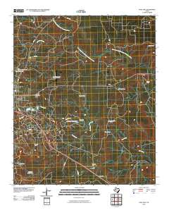
 2022 Post West2022 Print · USGSThe Caprock breaks meet the Texas plains in this detailed survey of the area around POST and Close City. Researchers can trace the transition from flat farmland to the canyons of Cooper Cr while locating landmarks like the Garza County Courthouse.
 - 2022 Map of Post East, 2022 Print
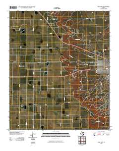
 2022 Post East2022 Print · USGSThe eastern outskirts of the Garza county seat meet the rugged Brazos River breaks in the early twenty-first century. Researchers can trace the development of Post and Augustus, locating landmarks like Terrace Cem and Two Draw Lake.
End of results
Showing maps 1-14 of 14
Top cities near Post
Frequently asked questions
- What are the different types of historical maps available for Post?
- What is the oldest map of Post?
- Where can I purchase historical maps of Post for my home or office?
- Where can I download high-res historical maps of Post?
- Are there historical topographic maps available for Post?
- Is there historical aerial imagery available for Post?
- Where are historical maps of Post sourced from?