
1969 Map of Post West
USGS Topo · Published 1972About this map
Post serves as the focal point of this survey, where the street grid of Broadway and Main St meets the Atchison Topeka and Santa Fe railroad. The landscape illustrates the sharp transition between the western high plains and the breaking terrain of the Caprock, where the Huntley Oil Field and Garza Oil Field dominate the level ground above the slopes. Local infrastructure is well-defined, including the Garza Memorial Hospital, the city's High Sch, and a Landing Strip to the northeast.
Find a feature on this map
31 named features on this map. Tap any name to fly to it.
Don’t see what you’re looking for? This feature index may not catch every label — zoom into the map to look around manually.
Map Details
Editions of this 1969 Post West Map
This is the sole edition of this map. No revisions or reprints were ever made.
Other maps of this area

1954 · Lubbock
USGS Topo · 1:250,000

1965 · Southland
USGS Topo · 1:24,000

1968 · South Dokegood Creek
USGS Topo · 1:24,000

1969 · Cap Rock SE
USGS Topo · 1:24,000

1969 · Post East
USGS Topo · 1:24,000

1969 · Grassland SE
USGS Topo · 1:24,000

1969 · Cooper Creek
USGS Topo · 1:24,000
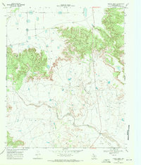
1969 · Middle Creek
USGS Topo · 1:24,000

1970 · Grassland
USGS Topo · 1:24,000
1986 · Slaton
USGS Topo · 1:100,000