
1969 Map of Grassland SE
USGS Topo · Published 1972About this map
The Double Mountain Fork Brazos River carves a deep, intricate path through this portion of the Texas South Plains, creating a sharp break in the otherwise flat topography of the Llano Estacado. This 1968 photogrammetric survey reveals a landscape where ranching and resource extraction dominate the economy, with the Lynn and Garza county line bisecting the drainage area. Historically significant sites such as the Grassland Cem and Post Montgomery Ranch are visible, serving as anchors for local genealogy and land-use studies. The map also documents the hydrology of the region through numerous Wells and the Dead Negro Draw, alongside evidence of industry at a localized Gravel Pit. The detailed delineation of fence lines across the open country provides a distinct look at the property boundaries and ranching infrastructure of the late 1960s.
Find a feature on this map
9 named features on this map. Tap any name to fly to it.
Don’t see what you’re looking for? This feature index may not catch every label — zoom into the map to look around manually.
Map Details
Editions of this 1969 Grassland SE Map
This is the sole edition of this map. No revisions or reprints were ever made.
Other maps of this area

1954 · Lubbock
USGS Topo · 1:250,000

1954 · Big Spring
USGS Topo · 1:250,000

1958 · Big Spring
USGS Topo · 1:250,000

1969 · Beal Hollow
USGS Topo · 1:24,000

1969 · Indian Canyon NE
USGS Topo · 1:24,000

1969 · Post West
USGS Topo · 1:24,000
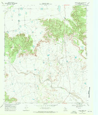
1969 · Middle Creek
USGS Topo · 1:24,000

1970 · New Lynn
USGS Topo · 1:24,000
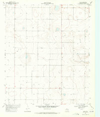
1970 · Draw
USGS Topo · 1:24,000
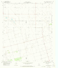
1970 · Indian Canyon NW
USGS Topo · 1:24,000