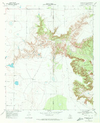
1969 Map of Beal Hollow
USGS Topo · Published 1971About this map
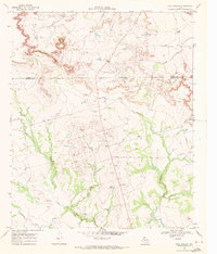
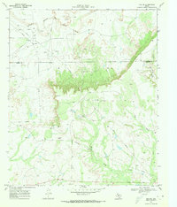
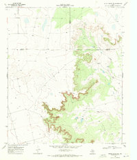
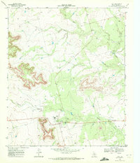
Double Mtn Fk Brazos R terrain defines the northern edge of this West Texas survey, where the waterless landscape of the Llano Estacado gives way to the eroded drainage systems of the Rolling Plains. The map captures an era of mid-century industrial utility, dominated by a network of pipelines and numerous Oil Wells that mark the petroleum activity across the Garza and Borden county line.
Find a feature on this map
17 named features on this map. Tap any name to fly to it.
Don’t see what you’re looking for? This feature index may not catch every label — zoom into the map to look around manually.
Map Details
Editions of this 1969 Beal Hollow Map
This is the sole edition of this map. No revisions or reprints were ever made.
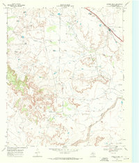
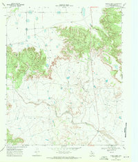
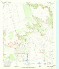
Other maps of this area

1954 · Lubbock
USGS Topo · 1:250,000

1954 · Big Spring
USGS Topo · 1:250,000

1958 · Big Spring
USGS Topo · 1:250,000
1969 · Gail NE
USGS Topo · 1:24,000
1969 · Indian Canyon NE
USGS Topo · 1:24,000
1969 · Gail
USGS Topo · 1:24,000
1969 · Grassland SE
USGS Topo · 1:24,000
1969 · Cooper Creek
USGS Topo · 1:24,000
1969 · Middle Creek
USGS Topo · 1:24,000
1969 · Holloway Canyon
USGS Topo · 1:24,000