
1969 Map of Holloway Canyon
USGS Topo · Published 1972About this map
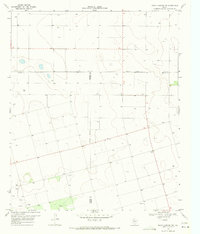
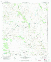
The arid landscape of Borden County in the late 1960s is defined by its water management and petroleum infrastructure. Numerous Oil Wells, Wells, and a Pumping Sta are scattered across the high plains, indicating a robust extractive economy. The terrain is dramatically broken by the deeply incised paths of Holloway Canyon and Rock Canyon, which feed into local drainage systems like Mesquite Creek and Grape Creek.
Find a feature on this map
18 named features on this map. Tap any name to fly to it.
Don’t see what you’re looking for? This feature index may not catch every label — zoom into the map to look around manually.
Map Details
Editions of this 1969 Holloway Canyon Map
This is the sole edition of this map. No revisions or reprints were ever made.
Other maps of this area

1954 · Big Spring
USGS Topo · 1:250,000

1958 · Big Spring
USGS Topo · 1:250,000

1969 · Beal Hollow
USGS Topo · 1:24,000

1969 · Indian Canyon NE
USGS Topo · 1:24,000

1969 · Gail
USGS Topo · 1:24,000

1969 · Indian Canyon
USGS Topo · 1:24,000
1970 · Indian Canyon NW
USGS Topo · 1:24,000

1970 · Mushaway Peak
USGS Topo · 1:24,000

1970 · Sand Creek
USGS Topo · 1:24,000
1970 · Long Draw
USGS Topo · 1:24,000