
1969 Map of Indian Canyon
USGS Topo · Published 1972About this map
The drainage systems of Indian Canyon and Buck Canyon carve through this West Texas landscape along the border of Dawson and Borden counties. This 1969 survey reveals a terrain defined by intermittent waterways, including the winding course of Tobacco Creek and its tributary, Wet Tobacco Creek, which feed into the larger canyon networks. The map shows the region during a period of active resource extraction, evidenced by numerous Oil Wells and a Drill Hole scattered across the uplands.
Find a feature on this map
11 named features on this map. Tap any name to fly to it.
Don’t see what you’re looking for? This feature index may not catch every label — zoom into the map to look around manually.
Map Details
Editions of this 1969 Indian Canyon Map
This is the sole edition of this map. No revisions or reprints were ever made.
Other maps of this area

1954 · Big Spring
USGS Topo · 1:250,000

1958 · Big Spring
USGS Topo · 1:250,000

1968 · Hancock
USGS Topo · 1:24,000

1969 · O'Donnell
USGS Topo · 1:24,000

1969 · Indian Canyon NE
USGS Topo · 1:24,000

1969 · Holloway Canyon
USGS Topo · 1:24,000
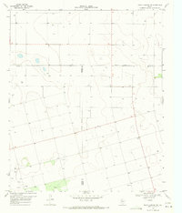
1970 · Indian Canyon NW
USGS Topo · 1:24,000

1970 · Key
USGS Topo · 1:24,000

1970 · Sand Creek
USGS Topo · 1:24,000
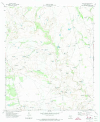
1970 · Long Draw
USGS Topo · 1:24,000