2000s (21st Century) Maps of Goliad County, Texas
Explore 110 historic maps of Goliad County from the 2000s (21st Century). These maps offer a rare glimpse into what life looked like during the 2000s — showing old roads, neighborhoods, homes, and landmarks that have changed or disappeared over time.
Whether you're researching your family's past, planning a metal detecting trip, or studying how Goliad County's landscape evolved across the 2000s, these high-resolution maps are a powerful tool for exploring the history of this region.
- Focus on a specific era: All maps on this page are from the 2000s, giving you a focused view of this time period.
- See what’s changed: Compare century-old streets, trails, and buildings to today's modern landscape using overlays and satellite layers.
- Research with precision: Use these maps for genealogy, historical research, land use analysis, or educational projects.
- View, download, or print: Maps are fully viewable online in high resolution, and can be downloaded or printed for your own records.
Start exploring Goliad County's history through authentic maps from the 2000s. This is your window into the past.
Goliad County, TX maps
(110)- 2010 Map of Runge SE, 2010 Print
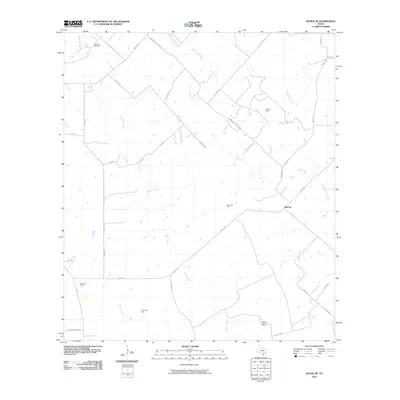 2010 Runge SE2010 Print · USGSGoliad County is shown here in the early twenty-first century, revealing a landscape defined by ranching roads and extensive energy production. Genealogists and local historians can trace family-named routes like Pokluda Rd near the Slick Oil Field and Melrose.
- 2010 Map of Lott Lake, 2010 Print
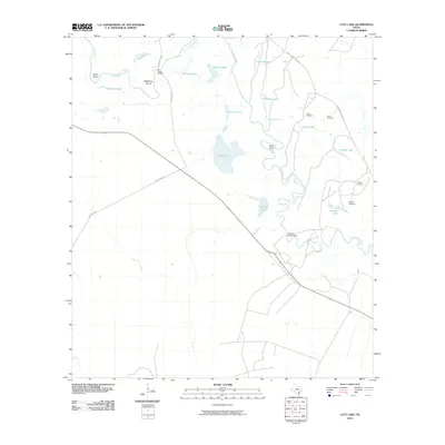 2010 Lott Lake2010 Print · USGSThe San Antonio River valley in Goliad County appears here in the early twenty-first century as a landscape of winding river bends and scattered oxbow lakes. Researchers can locate family landmarks like Fagan Cemetery and trace rural connections at Duke Bridge and Simms Footbridge.
- 2010 Map of Hensley Lake, 2010 Print
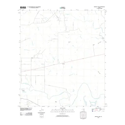 2010 Hensley Lake2010 Print · USGSGoliad County's river-fed plains are captured here in the early twenty-first century as ranching and oil production continue to shape the land. Genealogists and local historians can locate Sepenter Cemetery, Fannin Cemetery, and the quiet community of Scurlock.
- 2010 Map of Melo, 2010 Print
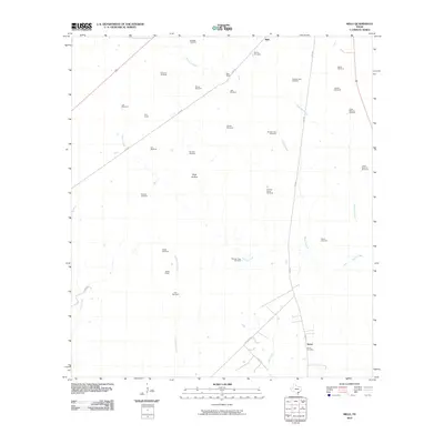 2010 Melo2010 Print · USGSGoliad County ranching life is preserved in detail on this map from the early 2000s, showing a landscape defined by cattle and water. Researchers can trace family-named landmarks and water sources like the Sarco Cemetery, Bissitt Ranch, and Lake Windmill.
- 2010 Map of Live Oak Lake, 2010 Print
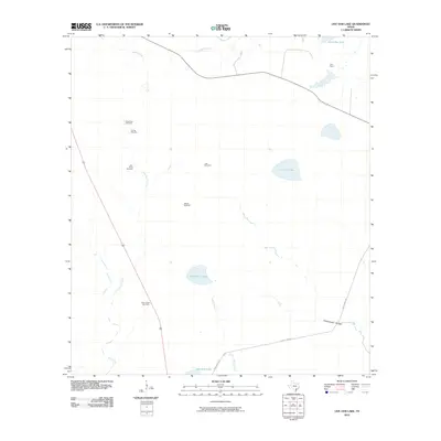 2010 Live Oak Lake2010 Print · USGSSouth Texas ranching and energy production converge in Goliad County during the early 2000s. Researchers can trace land use through cattle-country landmarks like the Old Vat Windmill and River Ranch, or locate the Sarco Creek Gas Field.
- 2010 Map of Blanconia, 2010 Print
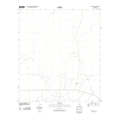 2010 Blanconia2010 Print · USGSCoastal plain ranching and agricultural life are documented here in the early twenty-first century. Genealogists and local historians can locate the McGuill Cemetery and trace the paths of Blanco Creek, Salt Creek, and Sarco Creek through the rural landscape.
- 2010 Map of Vidaurri, 2010 Print
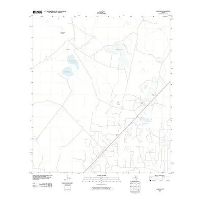 2010 Vidaurri2010 Print · USGSVidaurri and the coastal plains of Refugio County are captured here in the early twenty-first century. Researchers can trace the industrial footprint of the Greta Oil Field and West Vidauri Oil Field alongside local landmarks like Welder Ranch and Sharps Lake.
- 2010 Map of Ryanville, 2010 Print
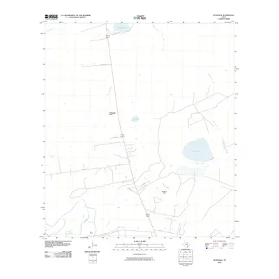 2010 Ryanville2010 Print · USGSCoastal prairie and ranch lands in Refugio County appear here during the early 2000s. Genealogists and local historians can locate family-named sites like O'Donnell Place and the Oak School, or trace the drainage of Melon Creek.
- 2010 Map of Goliad, 2010 Print
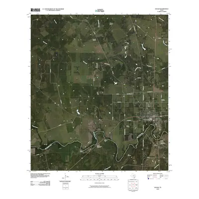 2010 Goliad2010 Print · USGSGoliad and its deep colonial roots are centered here along the San Antonio River at the start of the 2000s. Genealogists and historians can locate significant sites including Presidio La Bahia, the Goliad County Courthouse Historic District, and Wisbey Cemetery.
- 2010 Map of Yorktown East, 2010 Print
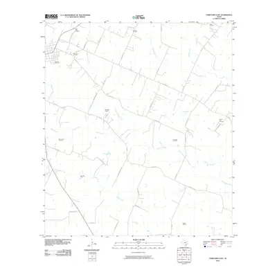 2010 Yorktown East2010 Print · USGSDeWitt County in the early 2000s reflects a landscape of traditional ranching and modern energy production. Researchers can trace family history through several landmarks like the Menn-Treude Cemetery, Rabke Cemetery, and the Henze Oil Field.
- 2010 Map of Meyersville, 2010 Print
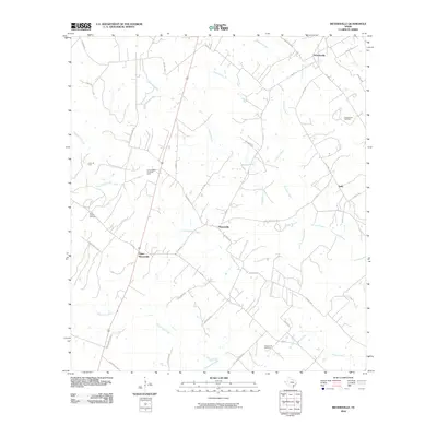 2010 Meyersville2010 Print · USGSDeWitt County comes into focus at the start of the 21st century, showing a rural landscape defined by creek-side settlements and energy production. Researchers can locate family landmarks like Saint Joseph Cemetery or trace the early oil and gas industry at the Cottonwood Creek Oil Field and Arneckeville Gas Field.
- 2010 Map of Ander, 2010 Print
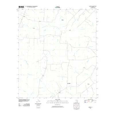 2010 Ander2010 Print · USGSCoastal prairie and creek-fed ranch lands in Goliad County are mapped here in the early twenty-first century. Family history researchers can locate several rural burial grounds, including Danforth Cemetery and Franklin Cemetery, alongside the small communities of Weser and Ander.
- 2010 Map of Weesatche, 2010 Print
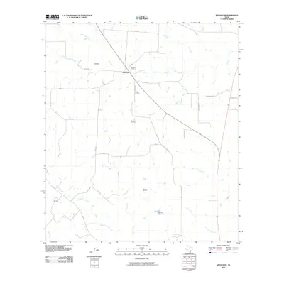 2010 Weesatche2010 Print · USGSGoliad County ranching and energy production are at the forefront during the early twenty-first century. Genealogists and researchers can locate family sites near Woodlawn Cemetery, Weesatche, and several major energy sites like the Marshall Gas Field.
- 2010 Map of Choate, 2010 Print
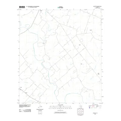 2010 Choate2010 Print · USGSKarnes County in the early twenty-first century is a landscape where rural life and energy production intersect along the San Antonio River. Researchers can locate historic rural sites like Choate Cemetery or trace the extent of the Runge Oil Field and the Cabeza Creek Refinery.
- 2010 Map of Skidmore NE, 2010 Print
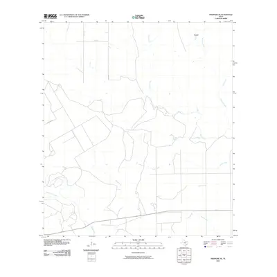 2010 Skidmore NE2010 Print · USGSCoastal plains ranch land in Bee County is mapped here during the early twenty-first century. Genealogists and local historians can locate Mucorrera Cemetery and trace the winding paths of Blanco Creek and Medio Creek.
- 2010 Map of Fannin, 2010 Print
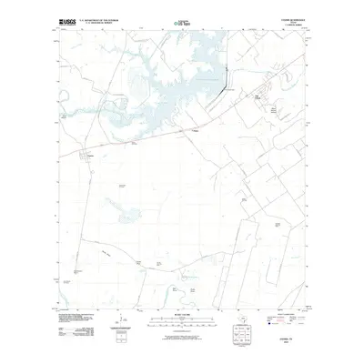 2010 Fannin2010 Print · USGSVictoria County at the start of the twenty-first century reveals a landscape shaped by petroleum and water management. Genealogists and researchers can locate Noble Cemetery, trace the San Antonio River shoreline, and explore the areas surrounding Swickheimer Ranch and Oak Village.
- 2010 Map of Berclair, 2010 Print
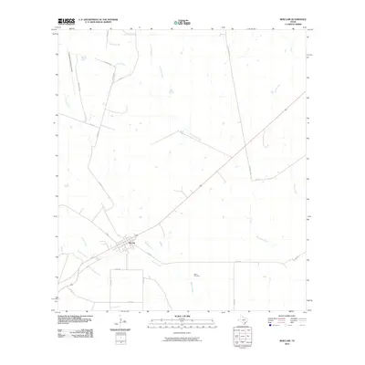 2010 Berclair2010 Print · USGSBerclair and the surrounding Goliad County plains are captured here in the early twenty-first century. Genealogists and historians can trace local landmarks like Myers Cemetery, the Goliad Naval Auxiliary Airfield, and the winding path of Blanco Creek.
- 2010 Map of Tulsita, 2010 Print
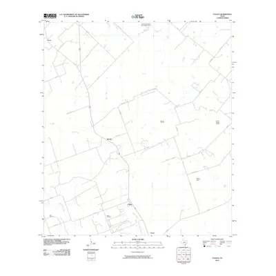 2010 Tulsita2010 Print · USGSKarnes County during the first decade of the 2000s shows a landscape of persistent ranching and active petroleum production. Family researchers and historians can trace local roots through the Dahl Cemetery or locate industrial sites like the Burnell Oil Field and Pettus North Oil Field.
- 2010 Map of Berclair NW, 2010 Print
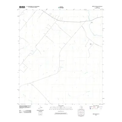 2010 Berclair NW2010 Print · USGSThis South Texas landscape at the turn of the decade is defined by the winding San Antonio River and rural ranching operations. Genealogists and local historians can locate Charco Cemetery or trace the development of the Hordes Creek Gas Field amidst old rural routes like Mail Rd.
- 2010 Map of Charco, 2010 Print
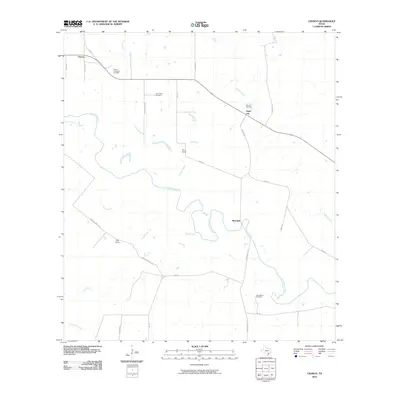 2010 Charco2010 Print · USGSGoliad County ranching and energy production are mapped here at the turn of the millennium. Genealogists can locate family landmarks like the John Pettus Cemetery and San Jasinto Cemetery alongside settlements at Charco and Angel City.
- 2010 Map of Lazy F Ranch, 2010 Print
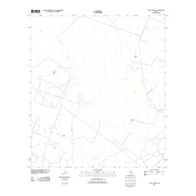 2010 Lazy F Ranch2010 Print · USGSBee County ranching and energy production intersect in this early 21st-century survey. Genealogists and local historians can trace family land footprints near Colony Cemetery and along the banks of Blanco Creek and Medio Creek.
- 2010 Map of Schroeder, 2010 Print
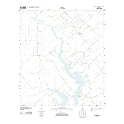 2010 Schroeder2010 Print · USGSThe rural Goliad County landscape near Schroeder is captured here in the early twenty-first century as a network of creeks and country cemeteries. Researchers can locate family landmarks like Mistletoe Cemetery and Berger Cemetery or trace the shoreline of the Coleto Creek Cooling Pond.
- 2013 Map of Melo, 2013 Print
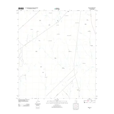 2013 Melo2013 Print · USGSGoliad County ranch lands are depicted here in the early twenty-first century, showing a landscape defined by cattle operations and water management. Genealogists and local historians can locate family-named landmarks and infrastructure like Sarco Cem, Clip Ranch, and Bissitt Ranch.
- 2013 Map of Weesatche, 2013 Print
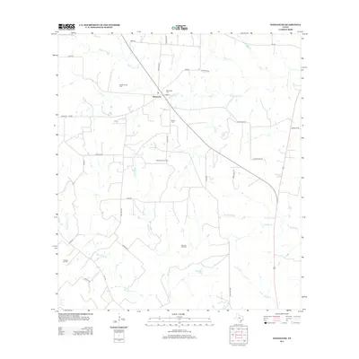 2013 Weesatche2013 Print · USGSGoliad County's ranching and energy landscape is captured here in the early twenty-first century. Researchers can locate family landmarks like Woodlawn Cem or trace the winding courses of Manahuilla Cr and Eighteenmile Cr.
- 2013 Map of Skidmore NE, 2013 Print
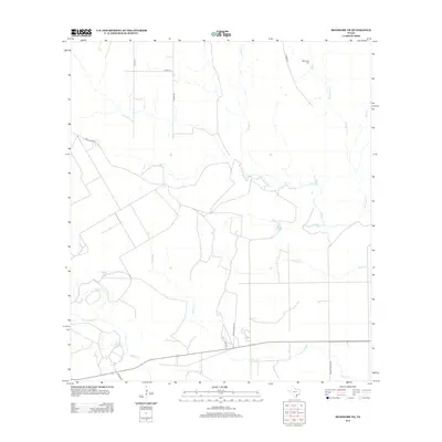 2013 Skidmore NE2013 Print · USGSBee County ranch lands and drainage basins are detailed in this 2013 survey of the Texas coastal plains. Genealogists and local historians can locate the Mucorrera Cemetery and trace the paths of Blanco Creek and Medio Creek across the landscape.
Showing maps 1-25 of 110
Top cities of Goliad County
Frequently asked questions
- What are the different types of historical maps available for Goliad County?
- What is the oldest map of Goliad County?
- Where can I purchase historical maps of Goliad County for my home or office?
- Where can I download high-res historical maps of Goliad County?
- Are there historical topographic maps available for Goliad County?
- Is there historical aerial imagery available for Goliad County?
- Where are historical maps of Goliad County sourced from?