Old Maps of Carlos, Texas for Academic Research
Study the evolution of Carlos with 9 high-resolution historic maps. Whether you're teaching, researching, or modeling changes in land use, these maps provide essential visual documentation of urban, environmental, and geographic change.
- Analyze long-term change: Track patterns in development, transportation, and natural features.
- Ideal for environmental or urban studies: Support academic projects with primary historical map data.
- Use in the classroom or lab: Educators and researchers rely on these maps to bring historical context to life.
These maps are a powerful tool for teaching, research, and visualizing how Carlos has changed over the decades.
Carlos, TX maps
(9)- 1954 Map of Austin, 1964 Print
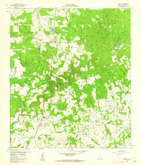
 1954 Austin1964 Print · USGSCentral Texas is captured during a period of steady growth as the capital city and its neighboring farm towns began to modernize. Researchers can trace historic rail corridors like the Southern Pacific RR or locate landmarks such as Bergstrom Air Force Base and Pilot Knob.4 unique versions available
 - 1956 Map of Carlos
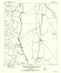 1956 Carlos1956 Print · USGSGrimes and Brazos counties appear here in a transition from military to civil use, mapping the rural landscape along the Navasota River. Genealogists and historians can trace early schoolhouses like Independence S.H. and vanished rail sidings such as Grimes Switch.
 - 1960 Map of Carlos, 1962 Print
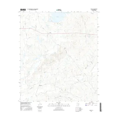
 1960 Carlos1962 Print · USGSIn the early sixties, this area of Grimes County was a mix of quiet ranch land and emerging industry. Genealogists and historians can trace the foundations of Carlos and Piedmont, or locate rural sites like Allen Cem and Blue Lake Ch.4 unique versions available
 - 1993 Map of Bryan
 1993 Bryan1993 Print · USGSBrazos Valley life in the early nineties centered on the rapid growth of College Station and the agricultural heartbeat of the river bottomlands. Genealogists and historians can trace the paths of the Kings Highway, several rail lines, and local landmarks like City Cem and Texas A&M University.
 - 2010 Map of Carlos, 2010 Print
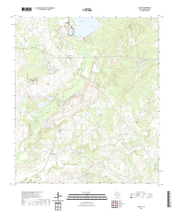
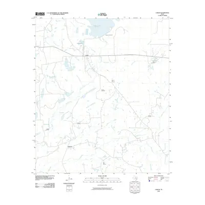 2010 Carlos2010 Print · USGSCovers Carlos, including Piedmont, Grimes County, and other nearby areas
 - 2013 Map of Carlos, 2013 Print
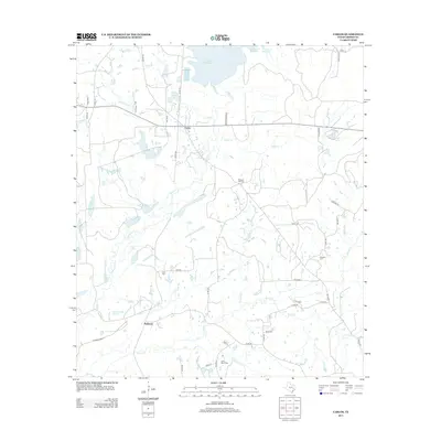 2013 Carlos2013 Print · USGSCovers Carlos, including Piedmont, Grimes County, and other nearby areas
 - 2016 Map of Carlos, 2016 Print
 2016 Carlos2016 Print · USGSCovers Carlos, including Piedmont, Grimes County, and other nearby areas
 - 2019 Map of Carlos, 2019 Print
 2019 Carlos2019 Print · USGSCovers Carlos, including Piedmont, Grimes County, and other nearby areas
 - 2022 Map of Carlos, 2022 Print
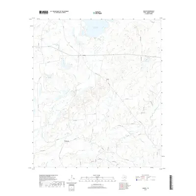
 2022 Carlos2022 Print · USGSGrimes County near the modern reservoir shows a landscape of small settlements and historical springs in the early twenty-first century. Genealogists can trace family burial sites at Little Flock Cem and Kennard Cem or locate the site of Piedmont Springs.
End of results
Showing maps 1-9 of 9
Top cities near Carlos
- College Station historical maps
- Bryan historical maps
- Navasota historical maps
- Millican historical maps
- Anderson historical maps
- Kurten historical maps
See more
Frequently asked questions
- What are the different types of historical maps available for Carlos?
- What is the oldest map of Carlos?
- Where can I purchase historical maps of Carlos for my home or office?
- Where can I download high-res historical maps of Carlos?
- Are there historical topographic maps available for Carlos?
- Is there historical aerial imagery available for Carlos?
- Where are historical maps of Carlos sourced from?