Old Maps of Petersburg, Texas for Hiking & Exploration
Hike through history with 14 historic maps of Petersburg. Explore old trails, ghost towns, and forgotten backroads — perfect for outdoor adventurers and local explorers.
- Rediscover forgotten places: Map out old mining camps, roads, and footpaths that no longer exist on modern maps.
- Layer with modern tools: Combine with LiDAR or satellite views to plan hikes through historical terrain.
- Made for exploration: Popular among hikers, overlanders, and local history lovers.
Use these maps to find adventure and explore the hidden past of Petersburg.
Petersburg, TX maps
(14)- 1954 Map of Lubbock, 1958 Print
 1954 Lubbock1958 Print · USGSThe High Plains and Caprock region of West Texas come alive in the mid-1950s, showing a landscape defined by oil discovery and the Brazos River headwaters. Genealogists and historians can trace rail-connected towns like Roaring Springs, find the Pleasant Valley church, or locate family-named landmarks such as Soldier Mound.4 unique versions available
 - 1965 Map of Petersburg, 1966 Print
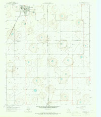 1965 Petersburg1966 Print · USGSThe South Plains of West Texas appear in the mid-1960s as a landscape of rural town centers and rail-side industry. Genealogists and historians can trace the Petersburg townsite and Estacado settlement, or locate the local Cemetery and the Fort Worth and Denver railroad.
 - 1968 Map of Barwise, 1970 Print
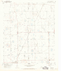 1968 Barwise1970 Print · USGSThe High Plains of West Texas are captured in the late sixties as the agricultural and oil industries reshaped the Hale and Floyd county line. Genealogists can locate family landmarks like Carrs Chapel, Harmony, and the Fort Worth and Denver rail line.
 - 1986 Map of Lubbock
 1986 Lubbock1986 Print · USGSLubbock and the surrounding High Plains are documented in the mid-eighties as a structured grid of agricultural tracts and growing urban centers. Genealogists and local historians can trace family-named areas like Heckville, old rail stops on the Atchison Topeka and Santa Fe, and the winding path of Yellow House Canyon.2 unique versions available
 - 2010 Map of Petersburg, 2010 Print
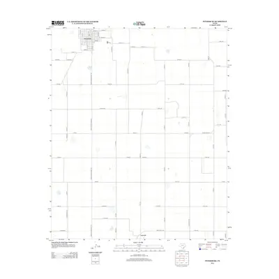
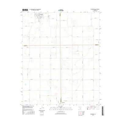
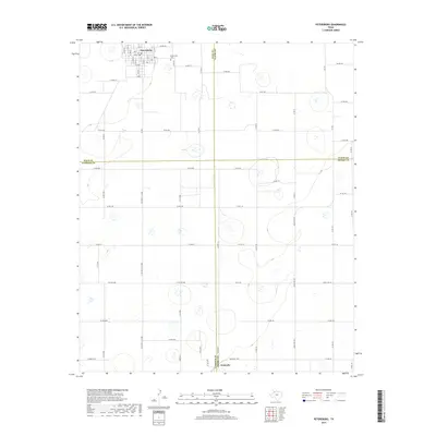
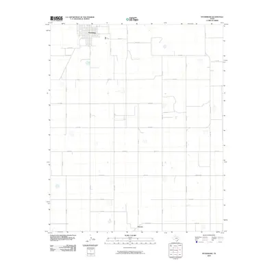 2010 Petersburg2010 Print · USGSCovers Petersburg, including Estacado, Lubbock County, and other nearby areas
 - 2010 Map of Barwise, 2010 Print
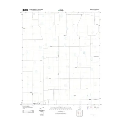
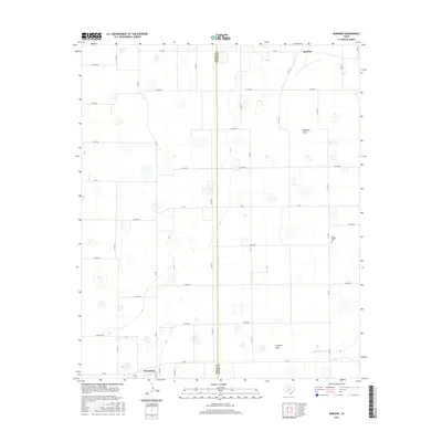
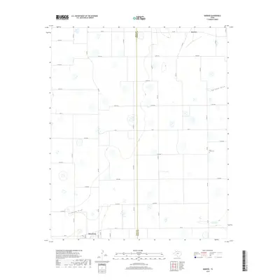
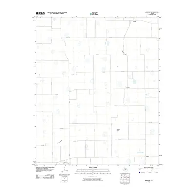 2010 Barwise2010 Print · USGSCovers Petersburg, including Allmon, Harmony, and other nearby areas
 - 2012 Map of Petersburg, 2012 Print
 2012 Petersburg2012 Print · USGSCovers Petersburg, including Estacado, Lubbock County, and other nearby areas
 - 2012 Map of Barwise, 2012 Print
 2012 Barwise2012 Print · USGSCovers Petersburg, including Allmon, Harmony, and other nearby areas
 - 2016 Map of Petersburg, 2016 Print
 2016 Petersburg2016 Print · USGSCovers Petersburg, including Estacado, Lubbock County, and other nearby areas
 - 2016 Map of Barwise, 2016 Print
 2016 Barwise2016 Print · USGSCovers Petersburg, including Allmon, Harmony, and other nearby areas
 - 2019 Map of Petersburg, 2019 Print
 2019 Petersburg2019 Print · USGSCovers Petersburg, including Estacado, Lubbock County, and other nearby areas
 - 2019 Map of Barwise, 2019 Print
 2019 Barwise2019 Print · USGSCovers Petersburg, including Allmon, Harmony, and other nearby areas
 - 2022 Map of Barwise, 2022 Print
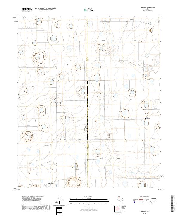 2022 Barwise2022 Print · USGSThe Hale and Floyd county line comes alive in this 2022 survey, showing the deep agricultural roots of the Texas High Plains. Genealogists and researchers can locate the Carrs Chapel Cem and trace the paths of Callahan Draw and the community of Petersburg.
 - 2022 Map of Petersburg, 2022 Print
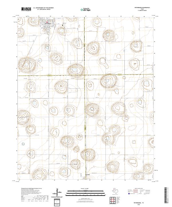 2022 Petersburg2022 Print · USGSThe High Plains of West Texas are captured here in the early twenty-first century, showing the intersection of four counties. Genealogists and local historians can trace the town of Petersburg, the settlement at Estacado, and the nearby Petersburg Cem.
End of results
Showing maps 1-14 of 14
Top cities near Petersburg
- Lubbock historical maps
- Abernathy historical maps
- Idalou historical maps
- Ralls historical maps
- Lorenzo historical maps
Frequently asked questions
- What are the different types of historical maps available for Petersburg?
- What is the oldest map of Petersburg?
- Where can I purchase historical maps of Petersburg for my home or office?
- Where can I download high-res historical maps of Petersburg?
- Are there historical topographic maps available for Petersburg?
- Is there historical aerial imagery available for Petersburg?
- Where are historical maps of Petersburg sourced from?