Old Maps of Williams, Texas for Metal Detecting
Plan your next treasure hunt with 10 historic maps of Williams. Find old homesites, ghost towns, trails, and gathering spots that may be lost to time — perfect for identifying promising metal detecting locations.
- Locate forgotten sites: Uncover places like long-lost settlements, abandoned rail lines, or gathering spots.
- Plan better hunts: Use map overlays combined with LiDAR or satellite views to narrow in on historically rich areas.
- Made for detectorists: Thousands of hobbyists use these maps to discover relics, coins, and hidden history.
Use these historic maps to boost your research and find new opportunities beneath the surface of Williams.
Williams, TX maps
(10)- 1955 Map of Lawton, 1958 Print
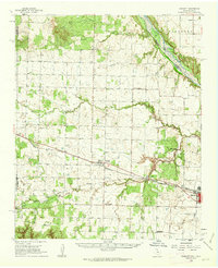
 1955 Lawton1958 Print · USGSSouthwestern Oklahoma and North Texas are shown here in the mid-fifties, dominated by the Wichita Mountains and the vital Red River watershed. Genealogists and historians can trace the foundations of Lawton alongside rural landmarks like Rainy Mountain Church and Pleasant Hill School.5 unique versions available
 - 1960 Map of Goodlett, 1962 Print
 1960 Goodlett1962 Print · USGSHardeman County at the dawn of the 1960s was a landscape defined by the Red River and a busy network of converging rail lines. Researchers can trace the layouts of small communities like Goodlett and Punkin Center or locate rural burial grounds including Elba Cem and Johnson Cem.2 unique versions available
 - 1984 Map of Willams, 1985 Print
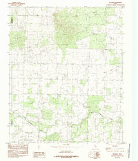 1984 Willams1985 Print · USGSThe Texas Panhandle borderlands are captured here in the late 1970s, showing the rural landscape around the settlement of Williams. Genealogists and local historians can trace the creek-side terrain of North Groesbeck Creek and Tepee Creek as it crosses from Hardeman Co into Childress Co.
 - 1986 Map of Vernon
 1986 Vernon1986 Print · USGSNorth Texas and Southern Oklahoma meet along the river in the mid-1980s, revealing a landscape defined by ranching, oil production, and rail transport. Researchers can locate distinct landmarks such as Medicine Mound, the Conley Oil Field, and the community of Punkin Center.
 - 1990 Map of Willams, 1995 Print
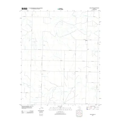
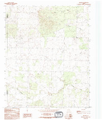 1990 Willams1995 Print · USGSHardeman and Childress counties remained a quiet ranching landscape in the late twentieth century, largely unchanged from decades prior. Local researchers can trace the course of North Groesbeck Creek and find the small community of Williams.
 - 2010 Map of Williams, 2010 Print
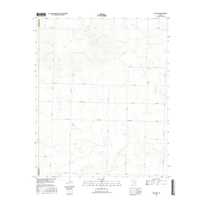
 2010 Williams2010 Print · USGSCovers Williams, including Hardeman County, Childress County, and other nearby areas
 - 2012 Map of Williams, 2012 Print
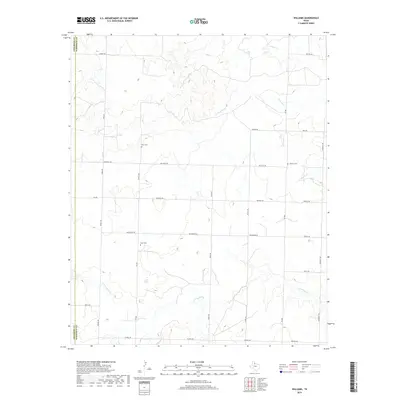
 2012 Williams2012 Print · USGSCovers Williams, including Hardeman County, Childress County, and other nearby areas
 - 2016 Map of Williams, 2016 Print
 2016 Williams2016 Print · USGSCovers Williams, including Hardeman County, Childress County, and other nearby areas
 - 2019 Map of Williams, 2019 Print
 2019 Williams2019 Print · USGSCovers Williams, including Hardeman County, Childress County, and other nearby areas
 - 2023 Map of Williams, 2023 Print
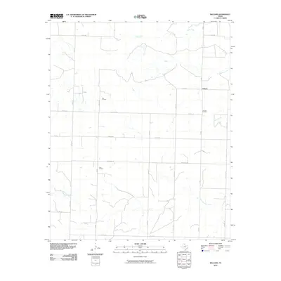
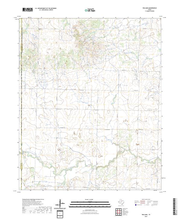 2023 Williams2023 Print · USGSHardeman and Childress Counties appear here in the modern era as a landscape of rural ranch roads and creek drainages. Researchers can trace land divisions along North Groesbeck Creek or locate family-named landmarks like Nippert Rd and Mcspadden Rd.
End of results
Showing maps 1-10 of 10
Top cities near Williams
Frequently asked questions
- What are the different types of historical maps available for Williams?
- What is the oldest map of Williams?
- Where can I purchase historical maps of Williams for my home or office?
- Where can I download high-res historical maps of Williams?
- Are there historical topographic maps available for Williams?
- Is there historical aerial imagery available for Williams?
- Where are historical maps of Williams sourced from?