2000s (21st Century) Maps of Fall Creek, Texas
Explore 10 historic maps of Fall Creek from the 2000s (21st Century). These maps offer a rare glimpse into what life looked like during the 2000s — showing old roads, neighborhoods, homes, and landmarks that have changed or disappeared over time.
Whether you're researching your family's past, planning a metal detecting trip, or studying how Fall Creek's landscape evolved across the 2000s, these high-resolution maps are a powerful tool for exploring the history of this region.
- Focus on a specific era: All maps on this page are from the 2000s, giving you a focused view of this time period.
- See what’s changed: Compare century-old streets, trails, and buildings to today's modern landscape using overlays and satellite layers.
- Research with precision: Use these maps for genealogy, historical research, land use analysis, or educational projects.
- View, download, or print: Maps are fully viewable online in high resolution, and can be downloaded or printed for your own records.
Start exploring Fall Creek's history through authentic maps from the 2000s. This is your window into the past.
Fall Creek, TX maps
(10)- 2010 Map of Harmaston, 2010 Print
 2010 Harmaston2010 Print · USGSCovers Fall Creek, including Houston, Atascocita, and other nearby areas
 - 2010 Map of Humble, 2010 Print
 2010 Humble2010 Print · USGSCovers Fall Creek, including Houston, Humble, and other nearby areas
 - 2013 Map of Harmaston, 2013 Print
 2013 Harmaston2013 Print · USGSCovers Fall Creek, including Houston, Atascocita, and other nearby areas
 - 2013 Map of Humble, 2013 Print
 2013 Humble2013 Print · USGSCovers Fall Creek, including Houston, Humble, and other nearby areas
 - 2016 Map of Humble, 2016 Print
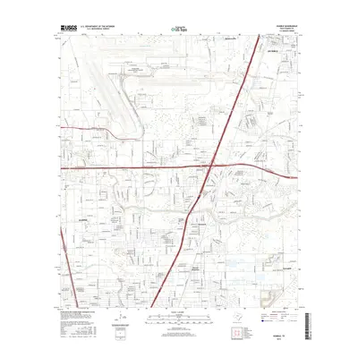 2016 Humble2016 Print · USGSCovers Fall Creek, including Houston, Humble, and other nearby areas
 - 2016 Map of Harmaston, 2016 Print
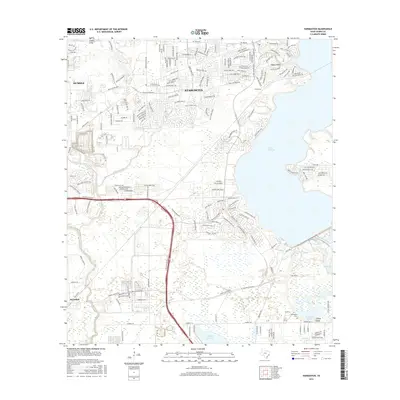 2016 Harmaston2016 Print · USGSCovers Fall Creek, including Houston, Atascocita, and other nearby areas
 - 2019 Map of Humble, 2019 Print
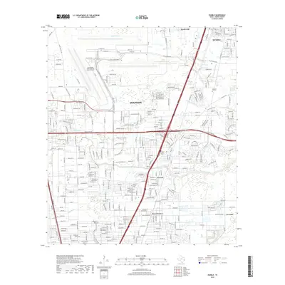 2019 Humble2019 Print · USGSCovers Fall Creek, including Houston, Humble, and other nearby areas
 - 2019 Map of Harmaston, 2019 Print
 2019 Harmaston2019 Print · USGSCovers Fall Creek, including Houston, Atascocita, and other nearby areas
 - 2022 Map of Harmaston, 2022 Print
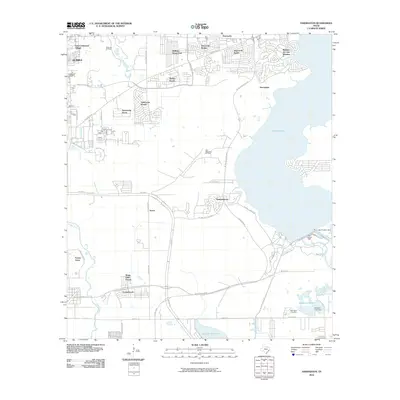
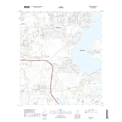
 2022 Harmaston2022 Print · USGSHouston's northeastern expansion reaches the shores of Lake Houston during this era of rapid suburban growth. Researchers can trace the development of Atascocita and locate landmarks like the Harrington Cem and Sheldon Reservoir.
 - 2022 Map of Humble, 2022 Print
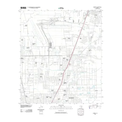
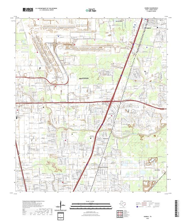 2022 Humble2022 Print · USGSGreater Houston and the city of Humble are shown in the early 2020s, highlighting the intersection of massive aviation infrastructure and local community roots. Genealogists and local historians can pinpoint several historic burial grounds like Humble Cem and Schlobohm Cem along the Greens Bayou corridor.
End of results
Showing maps 1-10 of 10
Top cities near Fall Creek
- Houston historical maps
- Pasadena historical maps
- The Woodlands historical maps
- Atascocita historical maps
- Kingwood historical maps
- Baytown historical maps
See more
Top neighborhoods of Fall Creek
- Autumn Falls historical maps
- Fall Creek historical maps
- Heather Glen historical maps
- Lake Point historical maps
- Magnolia Falls historical maps
- Serrano Creek historical maps
See more
Frequently asked questions
- What are the different types of historical maps available for Fall Creek?
- What is the oldest map of Fall Creek?
- Where can I purchase historical maps of Fall Creek for my home or office?
- Where can I download high-res historical maps of Fall Creek?
- Are there historical topographic maps available for Fall Creek?
- Is there historical aerial imagery available for Fall Creek?
- Where are historical maps of Fall Creek sourced from?