Old Maps of Galena Park, Texas
Explore 30 old maps of Galena Park, spanning from 1915 to today. These high-resolution historic maps reveal how streets, neighborhoods, landmarks, and natural features evolved over time — perfect for genealogy, metal detecting, research, and local history exploration.
What you can do with these maps:
- See how Galena Park changed over time: Compare historical maps to modern-day views to trace roads, homesites, rail lines & more.
- View detailed metadata: Each map includes creators, publishers, year, scale, and archive source.
- Overlay maps with satellite & LiDAR: Visualize the past alongside modern tools to explore terrain & human change.
- Trusted historical sources: Maps sourced from the USGS, Library of Congress, and other archives.
- Access maps your way: View online, download high-res files, or order prints for personal or research use.
Start exploring old maps of Galena Park to uncover forgotten places, hidden landmarks, and the deep history beneath your feet.
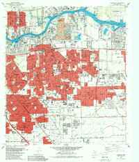
Galena Park, TX maps
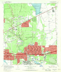
(30)- 1915 Map of Park Place
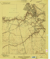 1915 Park Place1915 Print · USGSCovers Galena Park, including Houston, East Haven, and other nearby areas2 unique versions available
 - 1915 Map of Deepwater
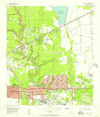
 1915 Deepwater1915 Print · USGSCovers Galena Park, including Houston, Pasadena, and other nearby areas
 - 1916 Map of Settegast
 1916 Settegast1916 Print · USGSCovers Galena Park, including Houston, Jacinto City, and other nearby areas2 unique versions available
 - 1916 Map of Fauna
 1916 Fauna1916 Print · USGSCovers Galena Park, including Houston, Jacinto City, and other nearby areas
 - 1919 Map of Deepwater
 1919 Deepwater1919 Print · USGSCovers Galena Park, including Houston, Pasadena, and other nearby areas2 unique versions available
 - 1920 Map of Fauna
 1920 Fauna1920 Print · USGSCovers Galena Park, including Houston, Jacinto City, and other nearby areas
 - 1922 Map of Park Place
 1922 Park Place1922 Print · USGSCovers Galena Park, including Houston, East Haven, and other nearby areas3 unique versions available
 - 1922 Map of Settegast
 1922 Settegast1922 Print · USGSCovers Galena Park, including Houston, Jacinto City, and other nearby areas2 unique versions available
 - 1932 Map of Fauna
 1932 Fauna1932 Print · USGSCovers Galena Park, including Houston, Jacinto City, and other nearby areas
 - 1946 Map of Settegast
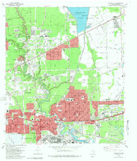
 1946 Settegast1946 Print · USGSCovers Galena Park, including Houston, Jacinto City, and other nearby areas
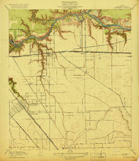
 - 1950 Map of Houston, 1953 Print
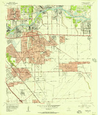
 1950 Houston1953 Print · USGSCovers Galena Park, including Houston, Pasadena, and other nearby areas
 - 1955 Map of Park Place, 1957 Print
 1955 Park Place1957 Print · USGSCovers Galena Park, including Houston, East Haven, and other nearby areas
 - 1955 Map of Jacinto City, 1957 Print
 1955 Jacinto City1957 Print · USGSCovers Galena Park, including Houston, Jacinto City, and other nearby areas
 - 1955 Map of Settegast, 1957 Print
 1955 Settegast1957 Print · USGSCovers Galena Park, including Houston, Jacinto City, and other nearby areas
 - 1955 Map of Pasadena, 1957 Print
 1955 Pasadena1957 Print · USGSCovers Galena Park, including Houston, Pasadena, and other nearby areas
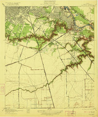
 - 1956 Map of Houston, 1963 Print
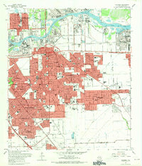
 1956 Houston1963 Print · USGSCovers Galena Park, including Houston, Pasadena, and other nearby areas2 unique versions available
 - 1967 Map of Park Place, 1969 Print
 1967 Park Place1969 Print · USGSCovers Galena Park, including Houston, East Haven, and other nearby areas
 - 1967 Map of Pasadena, 1970 Print
 1967 Pasadena1970 Print · USGSCovers Galena Park, including Houston, Pasadena, and other nearby areas
 - 1967 Map of Settegast, 1970 Print
 1967 Settegast1970 Print · USGSCovers Galena Park, including Houston, Jacinto City, and other nearby areas2 unique versions available
 - 1967 Map of Jacinto City, 1970 Print
 1967 Jacinto City1970 Print · USGSCovers Galena Park, including Houston, Jacinto City, and other nearby areas
 - 1975 Map of Houston, 1977 Print
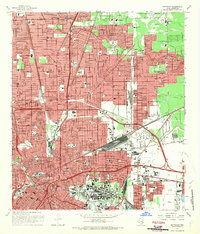
 1975 Houston1977 Print · USGSCovers Galena Park, including Houston, Pasadena, and other nearby areas2 unique versions available
 - 1982 Map of Jacinto City, 1983 Print
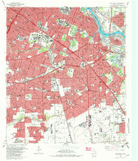
 1982 Jacinto City1983 Print · USGSCovers Galena Park, including Houston, Jacinto City, and other nearby areas2 unique versions available
 - 1982 Map of Park Place, 1983 Print
 1982 Park Place1983 Print · USGSCovers Galena Park, including Houston, East Haven, and other nearby areas2 unique versions available
 - 1982 Map of Settegast, 1983 Print
 1982 Settegast1983 Print · USGSCovers Galena Park, including Houston, Jacinto City, and other nearby areas2 unique versions available
 - 1982 Map of Pasadena, 1983 Print
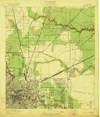
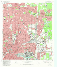
 1982 Pasadena1983 Print · USGSCovers Galena Park, including Houston, Pasadena, and other nearby areas
Showing maps 1-25 of 30
Top cities near Galena Park
- Houston historical maps
- Pasadena historical maps
- Pearland historical maps
- League City historical maps
- Baytown historical maps
- Channelview historical maps
See more
Frequently asked questions
- What are the different types of historical maps available for Galena Park?
- What is the oldest map of Galena Park?
- Where can I purchase historical maps of Galena Park for my home or office?
- Where can I download high-res historical maps of Galena Park?
- Are there historical topographic maps available for Galena Park?
- Is there historical aerial imagery available for Galena Park?
- Where are historical maps of Galena Park sourced from?