Old Maps of Galena Park, Texas for Hiking & Exploration
Hike through history with 50 historic maps of Galena Park. Explore old trails, ghost towns, and forgotten backroads — perfect for outdoor adventurers and local explorers.
- Rediscover forgotten places: Map out old mining camps, roads, and footpaths that no longer exist on modern maps.
- Layer with modern tools: Combine with LiDAR or satellite views to plan hikes through historical terrain.
- Made for exploration: Popular among hikers, overlanders, and local history lovers.
Use these maps to find adventure and explore the hidden past of Galena Park.
Galena Park, TX maps
(50)- 1915 Map of Park Place
 1915 Park Place1915 Print · USGSSoutheast Houston and the thriving ship channel districts are captured here just before the first World War. Genealogists and industrial historians can trace the early residential blocks of Magnolia and Park Place or the rail yards at South Yards.2 unique versions available
 - 1915 Map of Deepwater
 1915 Deepwater1915 Print · USGSSoutheast of Houston during the early twentieth-century boom, this area shows the vital transformation of the coastal prairie into an industrial hub. Trace the early footprints of Pasadena, South Houston, and Genoa alongside the Ship Channel and the Penn City School.
 - 1916 Map of Settegast
 1916 Settegast1916 Print · USGSNortheast Houston was a burgeoning rail and industrial corridor during the mid-1910s, prior to its full integration into the modern metropolis. Genealogists and historians can trace early neighborhood plats like Brooks Smith Addition and Fidelity Addition alongside the massive Tank Farm and local schoolhouses.2 unique versions available
 - 1916 Map of Fauna
 1916 Fauna1916 Print · USGSHarris County’s coastal prairies are captured here in the early twentieth century, showing a landscape defined by winding bayous and early overland routes. Genealogists and historians can trace family locations near Fauna, Abbots Store, and along the historic Liberty Road.
 - 1919 Map of Deepwater
 1919 Deepwater1919 Print · USGSHarris County at the height of the early shipping boom shows the transformation of the bayou into an industrial corridor. Trace family roots and early infrastructure in Pasadena and South Houston, or locate the Penn City Ferry and Dumont Sta.2 unique versions available
 - 1920 Map of Fauna
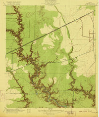 1920 Fauna1920 Print · USGSHarris County east of Houston is captured here as a landscape of winding bayous and prairie just after the Great War. Researchers can trace the early footprints of Fauna and Abbots Store or follow the path of the Market Street Road through the bottomlands.
 - 1922 Map of Park Place
 1922 Park Place1922 Print · USGSSoutheastern Harris County is seen here during its industrial transformation in the years following the 1915 survey. Genealogists and researchers can trace early residential tracts like Park Place and Forest Hills or locate old railway sidings such as Sheets Switch and Rambler Switch.3 unique versions available
 - 1922 Map of Settegast
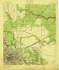 1922 Settegast1922 Print · USGSHouston and its surrounding Harris County townships are captured here during a period of intense industrial growth and residential expansion. Researchers can trace the early footprints of the Brooke-Smith Addition and Settegast, or locate rural landmarks like Berry School and the Tank Farm.2 unique versions available
 - 1932 Map of Fauna
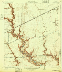 1932 Fauna1932 Print · USGSEast of Houston in the early twentieth century, this coastal prairie region was a landscape of deep bayous and lonely railroad stops. Genealogists and local historians can trace the paths of Houston and Wallisville Road to find Fauna or Abbots Store.
 - 1946 Map of Settegast
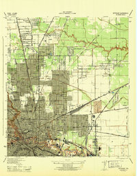 1946 Settegast1946 Print · USGSNortheast Houston and the industrial ship channel areas are captured here at the height of the mid-forties boom. Researchers can trace ancestral locations and civic growth through sites like Kashmere Gardens School, Evergreen Cem, and the neighborhoods bordering Halls Bayou.
 - 1950 Map of Houston, 1953 Print
 1950 Houston1953 Print · USGSCoastal Texas in the early fifties reveals a landscape of massive civil engineering and industrial transit. Genealogists and researchers can trace the growth of the Houston suburbs and the maritime infrastructure of Galveston Bay, including the Gulf Freeway and the Texas City Dike.
 - 1955 Map of Park Place, 1957 Print
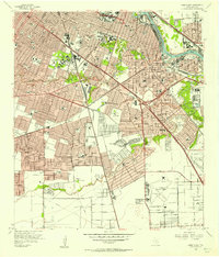 1955 Park Place1957 Print · USGSSoutheast Houston expanded rapidly during the mid-fifties as shipping and aviation infrastructure matured. Researchers can trace the development of neighborhood hubs like Park Place, the sprawling Houston International Airport, and dozens of local schools including Yates High Sch.
 - 1955 Map of Jacinto City, 1957 Print
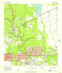 1955 Jacinto City1957 Print · USGSEast of Houston in the mid-fifties, this area shows a landscape of rising suburbs and industrial infrastructure along Greens Bayou. Researchers can trace the development of Cloverleaf, find the Harris County Cem, and locate the sprawling San Jacinto Ordnance Depot.
 - 1955 Map of Settegast, 1957 Print
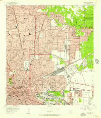 1955 Settegast1957 Print · USGSNortheast Houston transitioned from residential pockets to a massive rail and industrial corridor during the mid-fifties. Genealogists and historians can locate dozens of neighborhood landmarks, including Settegast Yards, Settegast Sch, and Hollywood Cemetery.
 - 1955 Map of Pasadena, 1957 Print
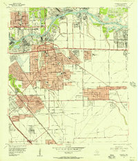 1955 Pasadena1957 Print · USGSSoutheast Texas industrial growth is on full display during the mid-fifties as the ship channel corridor rapidly expands. Genealogists and researchers can trace neighborhood development near Pasadena schools or find the footprint of the San Jacinto Ordnance Depot.
 - 1956 Map of Houston, 1963 Print
 1956 Houston1963 Print · USGSSoutheast Texas in the mid-fifties is captured here as a powerhouse of oil and maritime trade. Genealogists and historians can trace the foundations of Houston and its ports, alongside landmarks like the Rice Institute and the Spindletop Oil Field.2 unique versions available
 - 1967 Map of Park Place, 1969 Print
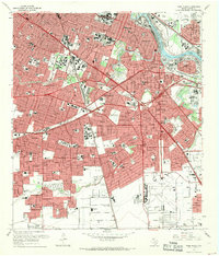 1967 Park Place1969 Print · USGSSoutheast Houston in the late sixties is captured here as a major hub of aviation, industry, and higher education. Genealogists and historians can trace the growth of Park Place, locate Jackson Cem, and explore the campuses of the University of Houston and Texas Southern University.
 - 1967 Map of Pasadena, 1970 Print
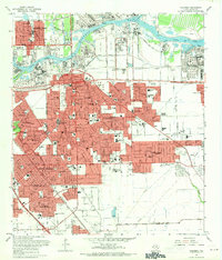 1967 Pasadena1970 Print · USGSSoutheast of Houston in the late sixties, this area shows a dense industrial and suburban landscape emerging along the Houston Ship Channel. Genealogists and local historians can locate established schools like Pearl Hall Sch and landmarks like the Texas Chiropractic College or the crossroads at Genoa.
 - 1967 Map of Settegast, 1970 Print
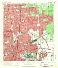 1967 Settegast1970 Print · USGSNortheast Houston's rail-and-bayou landscape is captured here during a period of significant mid-century growth. Researchers can trace historic neighborhood boundaries in Settegast and Sherwood Place or locate family sites at Oak Park Cem and Hollywood Cemetery.2 unique versions available
 - 1967 Map of Jacinto City, 1970 Print
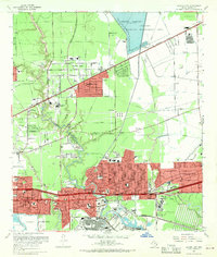 1967 Jacinto City1970 Print · USGSEastern Harris County was a landscape of rapid industrial and suburban growth in the late sixties. Researchers can trace the development of Channelview and Jacinto City while locating local landmarks like the Harris County Cem and Sheldon Fish Hatchery.
 - 1975 Map of Houston, 1977 Print
 1975 Houston1977 Print · USGSThe Texas Gulf Coast in the mid-seventies shows a sprawling Houston metropolis linked to the sea by the massive Houston Ship Channel. Researchers can trace the mid-century industrial landscape from the Astrodome to the Lyndon B. Johnson Space Center.2 unique versions available
 - 1982 Map of Jacinto City, 1983 Print
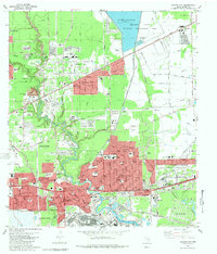 1982 Jacinto City1983 Print · USGSEastern Harris County in the early eighties shows a dense network of expanding suburbs and industrial hubs near the ship channel. Genealogists and local historians can trace family locations through numerous named schools like Cimarron Sch and landmarks like Bradshaw Cem or the Sheldon State Fish Hatchery.2 unique versions available
 - 1982 Map of Park Place, 1983 Print
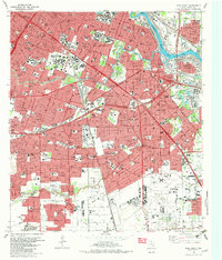 1982 Park Place1983 Print · USGSSoutheastern Houston and the Ship Channel area are shown in high detail during the early eighties, reflecting a period of intense industrial and suburban growth. Researchers can trace local history through the William P Hobby Airport, the University of Houston campus, and the Municipal Prison Farm.2 unique versions available
 - 1982 Map of Settegast, 1983 Print
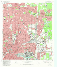 1982 Settegast1983 Print · USGSHouston and its industrial rail corridors are captured in the early eighties as neighborhoods expanded around the massive Settegast Yards. Trace local family history through dozens of landmarks like Oak Park Cemetery and St Elizabeth Hospital.2 unique versions available
 - 1982 Map of Pasadena, 1983 Print
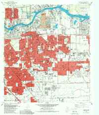 1982 Pasadena1983 Print · USGSGreater Houston experienced significant industrial and suburban maturation by the early eighties, centered on the vital shipping corridors. Researchers can trace family roots through neighborhood landmarks like Crown Hill Cem or locate former aviation sites such as Genoa Airport.
Showing maps 1-25 of 50
Top cities near Galena Park
- Houston historical maps
- Pasadena historical maps
- Pearland historical maps
- League City historical maps
- Baytown historical maps
- Channelview historical maps
See more
Frequently asked questions
- What are the different types of historical maps available for Galena Park?
- What is the oldest map of Galena Park?
- Where can I purchase historical maps of Galena Park for my home or office?
- Where can I download high-res historical maps of Galena Park?
- Are there historical topographic maps available for Galena Park?
- Is there historical aerial imagery available for Galena Park?
- Where are historical maps of Galena Park sourced from?