2010s Maps of Galena Park, Texas
Explore 16 historic maps of Galena Park from the 2010s. These maps offer a rare glimpse into what life looked like during the 2010s — showing old roads, neighborhoods, homes, and landmarks that have changed or disappeared over time.
Whether you're researching your family's past, planning a metal detecting trip, or studying how Galena Park's landscape evolved across the 2010s, these high-resolution maps are a powerful tool for exploring the history of this region.
- Focus on a specific era: All maps on this page are from the 2010s, giving you a focused view of this time period.
- See what’s changed: Compare century-old streets, trails, and buildings to today's modern landscape using overlays and satellite layers.
- Research with precision: Use these maps for genealogy, historical research, land use analysis, or educational projects.
- View, download, or print: Maps are fully viewable online in high resolution, and can be downloaded or printed for your own records.
Start exploring Galena Park's history through authentic maps from the 2010s. This is your window into the past.
Galena Park, TX maps
(16)- 2010 Map of Settegast, 2010 Print
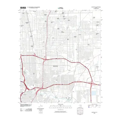 2010 Settegast2010 Print · USGSHouston’s northeast side reveals a landscape of industrial power and evolving neighborhoods just after the turn of the millennium. Genealogists and historians can trace significant sites like Holy Cross Cemetery and the sprawling rail networks of Englewood Yards and Settegast Yards.
 - 2010 Map of Jacinto City, 2010 Print
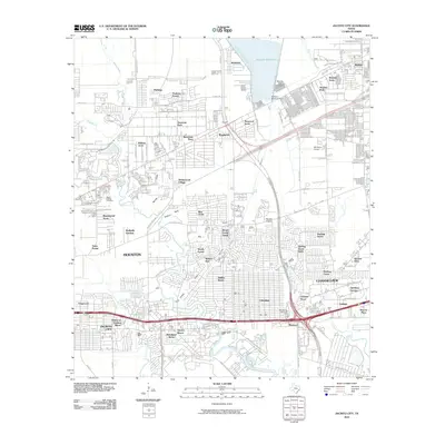 2010 Jacinto City2010 Print · USGSEast of Houston during the early twenty-first century, this region shows a landscape of suburban expansion defined by its bayous and reservoirs. Researchers can locate the Harris County Cemetery, trace the banks of Greens Bayou, and find the Sheldon Fish Hatchery.
 - 2010 Map of Pasadena, 2010 Print
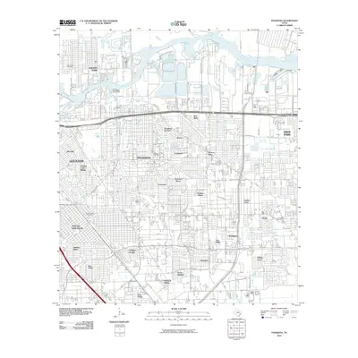 2010 Pasadena2010 Print · USGSSoutheast Texas near the bay is shown here during a period of significant suburban density and industrial activity. Genealogists and local historians can trace neighborhood growth in Golden Acres, Easthaven, and Parkview Manor or locate the Pasadena Post Office.
 - 2010 Map of Park Place, 2010 Print
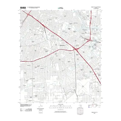 2010 Park Place2010 Print · USGSSoutheast Houston and the industrial ship channel corridor are shown here in the early twenty-first century. Researchers can trace historic neighborhood boundaries from Harrisburg to Park Place and locate family sites near Evergreen Cemetery or William P Hobby Airport.
 - 2013 Map of Settegast, 2013 Print
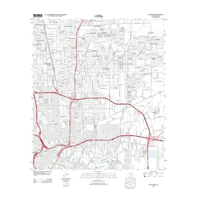 2013 Settegast2013 Print · USGSNortheast Houston in the early twenty-first century reveals a landscape shaped by massive rail yards and a dense network of neighborhoods. Genealogists and local historians can locate several major burial grounds like Holy Cross Cem and trace the rail-industrial corridors around Settegast Yards and Englewood Yards.
 - 2013 Map of Park Place, 2013 Print
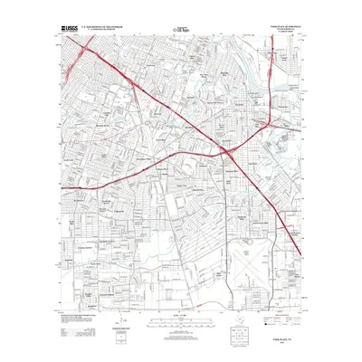 2013 Park Place2013 Print · USGSHouston’s southeastern industrial and residential corridors are frozen in time just after the first decade of the new millennium. Researchers can trace historic cemeteries like Evergreen Cem and Glendale Cem alongside the runways of William P Hobby Airport.
 - 2013 Map of Pasadena, 2013 Print
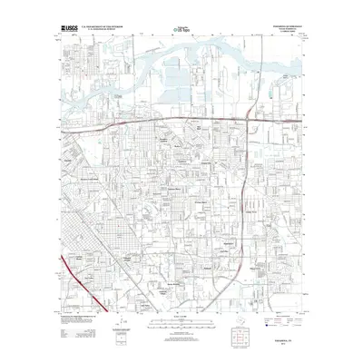 2013 Pasadena2013 Print · USGSThe Houston suburbs show their modern layout in this decade-old survey, where bayous meet dense residential grids. Genealogists and local historians can map out family homes in Pasadena Gardens, Golden Acres, or Freeway Manor.
 - 2013 Map of Jacinto City, 2013 Print
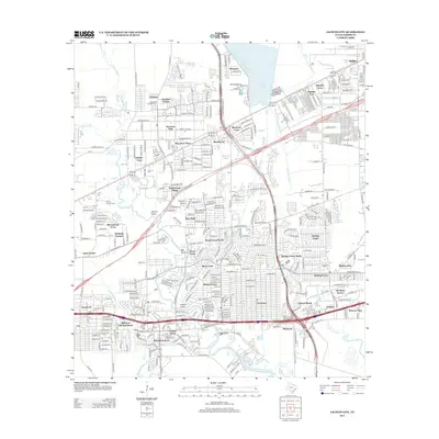 2013 Jacinto City2013 Print · USGSHarris County east of Houston is shown in high detail during a period of significant suburban density. Local researchers can trace the growth of communities like Beaumont Place and Cloverleaf or locate the Harris County Cem and Sheldon Fish Hatchery.
 - 2016 Map of Settegast, 2016 Print
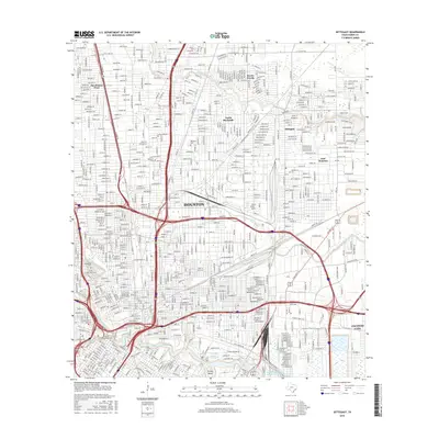 2016 Settegast2016 Print · USGSHouston and its eastern suburbs are shown in high detail during the mid-2010s, revealing the dense intersection of bayou waterways and heavy rail. Researchers can trace historic cemeteries like Holy Cross Cem or follow the Houston Belt and Terminal RR through Settegast.
 - 2016 Map of Pasadena, 2016 Print
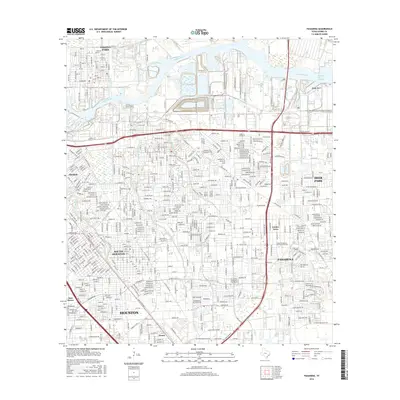 2016 Pasadena2016 Print · USGSSoutheast Texas in the mid-2010s shows the continued growth and industrial density surrounding the Houston Ship Channel. Genealogists and local historians can trace the developments of Pasadena, Deer Park, and South Houston alongside landmarks like the San Jacinto Community Coll District.
 - 2016 Map of Jacinto City, 2016 Print
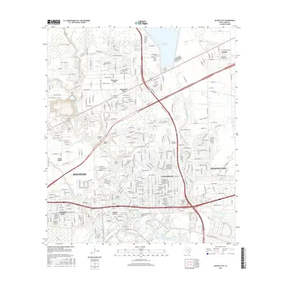 2016 Jacinto City2016 Print · USGSEast Harris County in the mid-2010s shows a landscape defined by industrial growth and suburban expansion along the bayous. Researchers can trace neighborhood development and local landmarks from Jacinto City to Channelview, including Harris County Cem.
 - 2016 Map of Park Place, 2016 Print
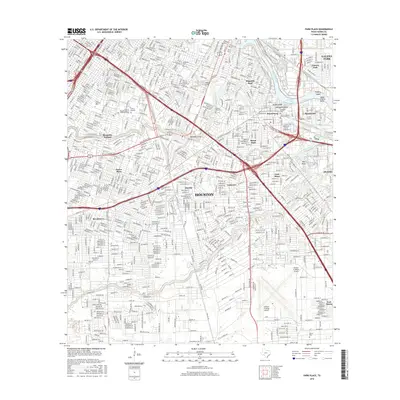 2016 Park Place2016 Print · USGSSoutheast Houston in the mid-2010s reveals a landscape where major aviation and maritime hubs meet established residential wards. Genealogists and local historians can trace the development of Harrisburg and Manchester or locate family plots in Forest Park Cem and Jackson Cem.
 - 2019 Map of Park Place, 2019 Print
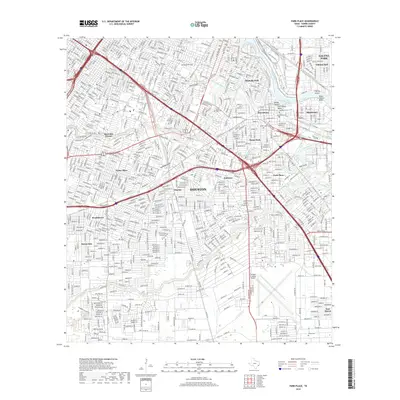 2019 Park Place2019 Print · USGSSoutheast Houston and its industrial ship channel corridor are shown here in recent detail. Researchers can trace the layout of historic neighborhoods like Harrisburg and Pecan Park alongside major landmarks like William P Hobby Airport and Forest Park Cem.
 - 2019 Map of Settegast, 2019 Print
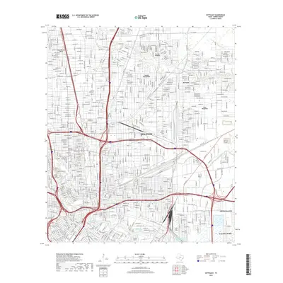 2019 Settegast2019 Print · USGSNortheast Houston and surrounding Harris County are captured here in the late twenty-teens, showing the city's dense urban footprint. Researchers can locate numerous historic burial sites like Hollywood Cem and Saint Vincent Cem or trace neighborhoods from Settegast to Galena Park.
 - 2019 Map of Jacinto City, 2019 Print
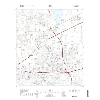 2019 Jacinto City2019 Print · USGSThe industrial and residential corridors of eastern Harris County come into focus during the late 2010s. Researchers can trace neighborhood growth and infrastructure around Cloverleaf, Jacinto City, and the waters of Greens Bayou.
 - 2019 Map of Pasadena, 2019 Print
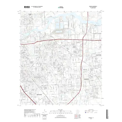 2019 Pasadena2019 Print · USGSSoutheast Harris County is shown at its modern industrial peak, centered on the critical Houston Ship Channel and the city of Pasadena. Researchers can trace the sprawling street grids of South Houston and Deer Park alongside historic waterways like Buffalo Bayou.
End of results
Showing maps 1-16 of 16
Top cities near Galena Park
- Houston historical maps
- Pasadena historical maps
- Pearland historical maps
- League City historical maps
- Baytown historical maps
- Channelview historical maps
See more
Frequently asked questions
- What are the different types of historical maps available for Galena Park?
- What is the oldest map of Galena Park?
- Where can I purchase historical maps of Galena Park for my home or office?
- Where can I download high-res historical maps of Galena Park?
- Are there historical topographic maps available for Galena Park?
- Is there historical aerial imagery available for Galena Park?
- Where are historical maps of Galena Park sourced from?