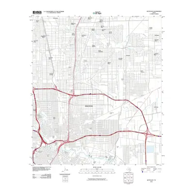
2010 Map of Settegast
USGS Topo · Published 2010About this map
Houston's industrial and residential expansion is clearly defined in this mid-century look at the northeast side of the city. The landscape is dominated by a complex network of rail infrastructure and bayous, where the Settegast Yards and Englewood Yards serve as major hubs for the region's shipping and transport economy. These massive rail yards sit alongside established residential enclaves like Settegast, East Houston, and Rosedale Gardens, reflecting a period where industry and housing were tightly integrated.
Find a feature on this map
76 named features on this map. Tap any name to fly to it.
Don’t see what you’re looking for? This feature index may not catch every label — zoom into the map to look around manually.
Map Details
Editions of this 2010 Settegast Map
This is the sole edition of this map. No revisions or reprints were ever made.
Other maps of this area

1915 · Bellaire
USGS Topo · 1:24,000

1915 · Park Place
USGS Topo · 1:24,000

1915 · Houston Heights
USGS Topo · 1:24,000

1915 · Deepwater
USGS Topo · 1:24,000

1916 · Aldine
USGS Topo · 1:24,000

1916 · Settegast
USGS Topo · 1:24,000

1916 · Fauna
USGS Topo · 1:24,000

1916 · Harmaston
USGS Topo · 1:24,000

1916 · Humble
USGS Topo · 1:24,000

1919 · Aldine
USGS Topo · 1:31,680