2000s (21st Century) Maps of O'Brien, Texas
Explore 10 historic maps of O'Brien from the 2000s (21st Century). These maps offer a rare glimpse into what life looked like during the 2000s — showing old roads, neighborhoods, homes, and landmarks that have changed or disappeared over time.
Whether you're researching your family's past, planning a metal detecting trip, or studying how O'Brien's landscape evolved across the 2000s, these high-resolution maps are a powerful tool for exploring the history of this region.
- Focus on a specific era: All maps on this page are from the 2000s, giving you a focused view of this time period.
- See what’s changed: Compare century-old streets, trails, and buildings to today's modern landscape using overlays and satellite layers.
- Research with precision: Use these maps for genealogy, historical research, land use analysis, or educational projects.
- View, download, or print: Maps are fully viewable online in high resolution, and can be downloaded or printed for your own records.
Start exploring O'Brien's history through authentic maps from the 2000s. This is your window into the past.
O'Brien, TX maps
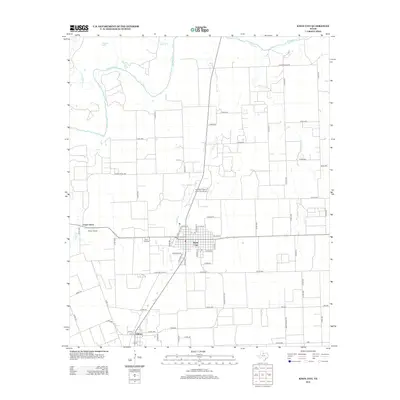
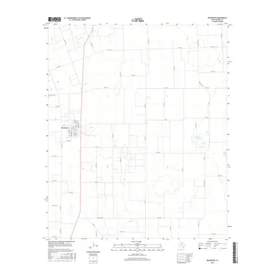
(10)- 2010 Map of Knox City, 2010 Print
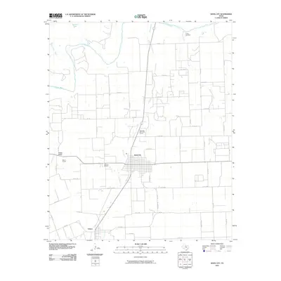 2010 Knox City2010 Print · USGSCovers O'Brien, including Knox City, Union Grove, and other nearby areas
 - 2010 Map of Rochester, 2010 Print
 2010 Rochester2010 Print · USGSCovers O'Brien, including Rochester, Haskell County, and other nearby areas
 - 2012 Map of Rochester, 2012 Print
 2012 Rochester2012 Print · USGSCovers O'Brien, including Rochester, Haskell County, and other nearby areas
 - 2013 Map of Knox City, 2013 Print
 2013 Knox City2013 Print · USGSCovers O'Brien, including Knox City, Union Grove, and other nearby areas
 - 2016 Map of Rochester, 2016 Print
 2016 Rochester2016 Print · USGSCovers O'Brien, including Rochester, Haskell County, and other nearby areas
 - 2016 Map of Knox City, 2016 Print
 2016 Knox City2016 Print · USGSCovers O'Brien, including Knox City, Union Grove, and other nearby areas
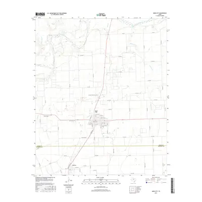
 - 2019 Map of Knox City, 2019 Print
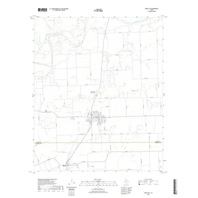 2019 Knox City2019 Print · USGSCovers O'Brien, including Knox City, Union Grove, and other nearby areas
 - 2019 Map of Rochester, 2019 Print
 2019 Rochester2019 Print · USGSCovers O'Brien, including Rochester, Haskell County, and other nearby areas
 - 2022 Map of Rochester, 2022 Print
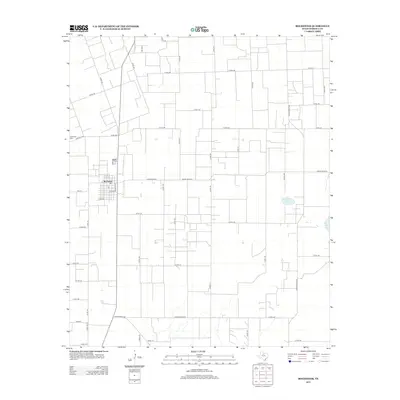
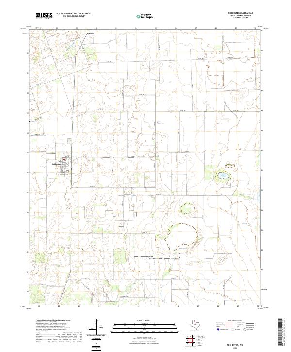 2022 Rochester2022 Print · USGSRochester and O'Brien anchor this agricultural landscape in Haskell County as it appeared in the early 2020s. Researchers can trace local history at Rochester Cem and follow the rural road network including Fm 617 and Ranch Rd 2163.
 - 2022 Map of Knox City, 2022 Print
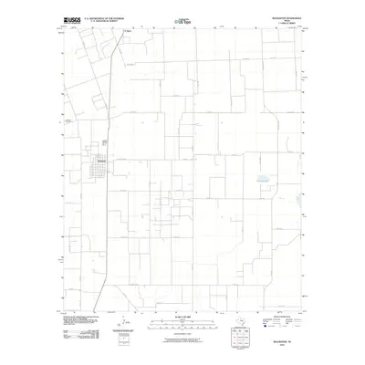
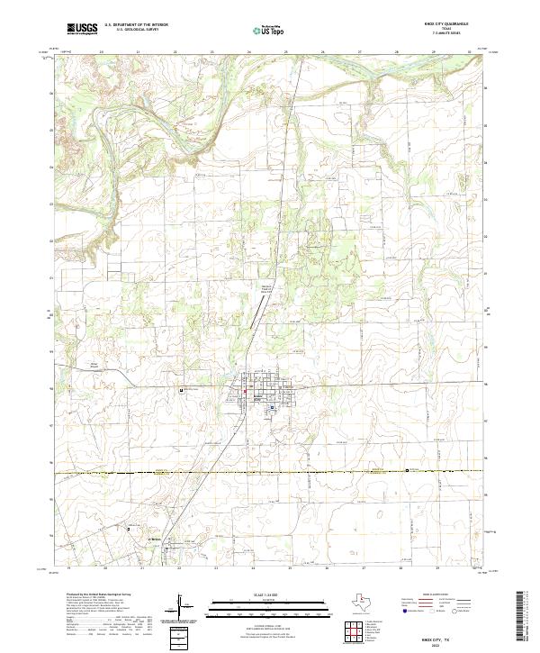 2022 Knox City2022 Print · USGSKnox City and the rural border between Knox and Haskell Counties are shown here during the early 2020s. Researchers can trace local lineage and land use through the location of Knox City Cem, Cliff Cem, and the specialized Harrison Field of Knox City.
End of results
Showing maps 1-10 of 10
Top cities near O'Brien
- Haskell historical maps
- Munday historical maps
- Knox City historical maps
- Rule historical maps
- Rochester historical maps
- Benjamin historical maps
See more
Frequently asked questions
- What are the different types of historical maps available for O'Brien?
- What is the oldest map of O'Brien?
- Where can I purchase historical maps of O'Brien for my home or office?
- Where can I download high-res historical maps of O'Brien?
- Are there historical topographic maps available for O'Brien?
- Is there historical aerial imagery available for O'Brien?
- Where are historical maps of O'Brien sourced from?