Old Maps of O'Brien, Texas for Metal Detecting
Plan your next treasure hunt with 15 historic maps of O'Brien. Find old homesites, ghost towns, trails, and gathering spots that may be lost to time — perfect for identifying promising metal detecting locations.
- Locate forgotten sites: Uncover places like long-lost settlements, abandoned rail lines, or gathering spots.
- Plan better hunts: Use map overlays combined with LiDAR or satellite views to narrow in on historically rich areas.
- Made for detectorists: Thousands of hobbyists use these maps to discover relics, coins, and hidden history.
Use these historic maps to boost your research and find new opportunities beneath the surface of O'Brien.
O'Brien, TX maps
(15)- 1954 Map of Wichita Falls, 1966 Print
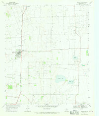
 1954 Wichita Falls1966 Print · USGSNorth Texas in the mid-fifties is captured here as a landscape of expanding oil fields and vital rail corridors. Genealogists and historians can trace family roots through rural landmarks like Bacon Chapel and the rail-side growth of Seymour and Archer City.3 unique versions available
 - 1958 Map of Wichita Falls
 1958 Wichita Falls1958 Print · USGSNorth Texas during the late fifties reveals a landscape defined by the booming petroleum industry and established rail hubs. Researchers can trace the development of Wichita Falls and discover rural landmarks like Barton's Chapel or the Hull-Silk Oil Field.
 - 1967 Map of Rochester, 1969 Print
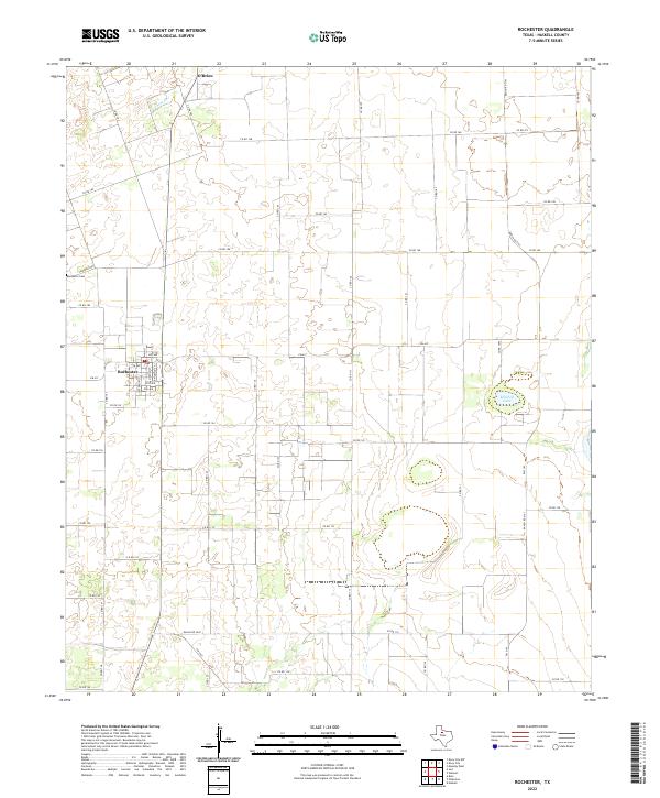
 1967 Rochester1969 Print · USGSHaskell County's oil and rail landscape is captured here in the late sixties, centered on the junction at Rochester. Genealogists and historians can trace the Atchison Topeka and Santa Fe railroad past O'Brien and locate the Rochester Cem or Russell Lake.
 - 1968 Map of Knox City, 1970 Print
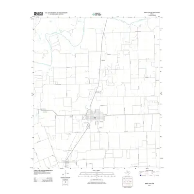
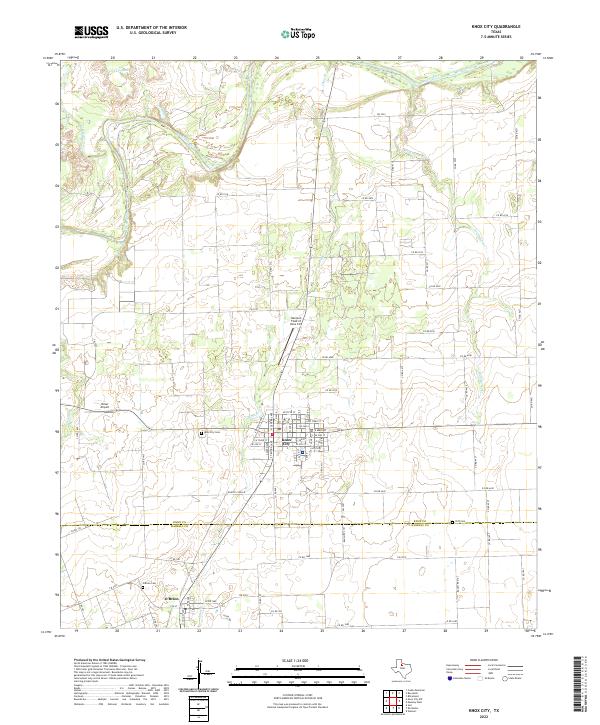
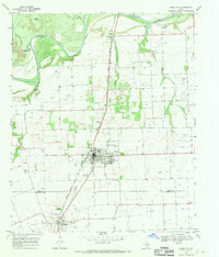 1968 Knox City1970 Print · USGSNorth Texas in the late sixties was a landscape defined by the Brazos River and the rail lines. Trace the local geography from the Knox City Cem down to O'Brien, following the Atchison Topeka and Santa Fe railroad through the cotton country.
 - 1985 Map of Haskell
 1985 Haskell1985 Print · USGSIn the mid-eighties, this West Texas region highlights a robust agricultural and petroleum economy centered on Haskell and Throckmorton. Trace rail history along the Burlington Northern or locate family roots near Goree and Throckmorton Cem.2 unique versions available
 - 2010 Map of Knox City, 2010 Print
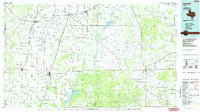
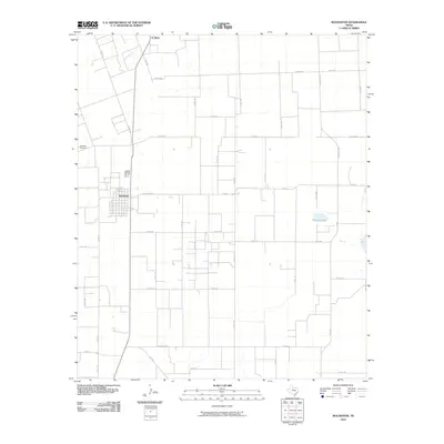
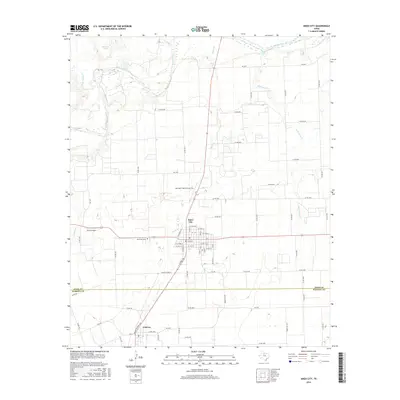
 2010 Knox City2010 Print · USGSCovers O'Brien, including Knox City, Union Grove, and other nearby areas
 - 2010 Map of Rochester, 2010 Print
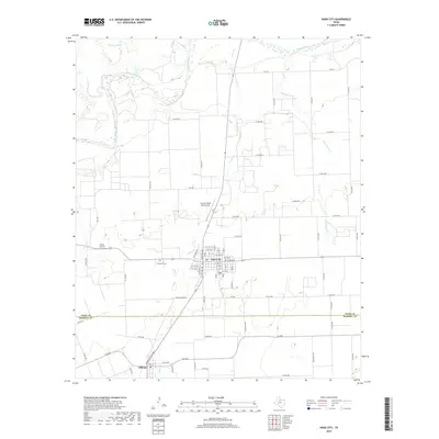
 2010 Rochester2010 Print · USGSCovers O'Brien, including Rochester, Haskell County, and other nearby areas
 - 2012 Map of Rochester, 2012 Print
 2012 Rochester2012 Print · USGSCovers O'Brien, including Rochester, Haskell County, and other nearby areas
 - 2013 Map of Knox City, 2013 Print
 2013 Knox City2013 Print · USGSCovers O'Brien, including Knox City, Union Grove, and other nearby areas
 - 2016 Map of Rochester, 2016 Print
 2016 Rochester2016 Print · USGSCovers O'Brien, including Rochester, Haskell County, and other nearby areas
 - 2016 Map of Knox City, 2016 Print
 2016 Knox City2016 Print · USGSCovers O'Brien, including Knox City, Union Grove, and other nearby areas
 - 2019 Map of Knox City, 2019 Print
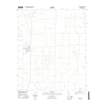
 2019 Knox City2019 Print · USGSCovers O'Brien, including Knox City, Union Grove, and other nearby areas
 - 2019 Map of Rochester, 2019 Print
 2019 Rochester2019 Print · USGSCovers O'Brien, including Rochester, Haskell County, and other nearby areas
 - 2022 Map of Rochester, 2022 Print
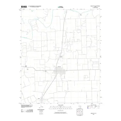
 2022 Rochester2022 Print · USGSRochester and O'Brien anchor this agricultural landscape in Haskell County as it appeared in the early 2020s. Researchers can trace local history at Rochester Cem and follow the rural road network including Fm 617 and Ranch Rd 2163.
 - 2022 Map of Knox City, 2022 Print
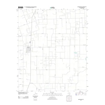
 2022 Knox City2022 Print · USGSKnox City and the rural border between Knox and Haskell Counties are shown here during the early 2020s. Researchers can trace local lineage and land use through the location of Knox City Cem, Cliff Cem, and the specialized Harrison Field of Knox City.
End of results
Showing maps 1-15 of 15
Top cities near O'Brien
- Haskell historical maps
- Munday historical maps
- Knox City historical maps
- Rule historical maps
- Rochester historical maps
- Benjamin historical maps
See more
Frequently asked questions
- What are the different types of historical maps available for O'Brien?
- What is the oldest map of O'Brien?
- Where can I purchase historical maps of O'Brien for my home or office?
- Where can I download high-res historical maps of O'Brien?
- Are there historical topographic maps available for O'Brien?
- Is there historical aerial imagery available for O'Brien?
- Where are historical maps of O'Brien sourced from?