2000s (21st Century) Maps of Hays County, Texas
Explore 105 historic maps of Hays County from the 2000s (21st Century). These maps offer a rare glimpse into what life looked like during the 2000s — showing old roads, neighborhoods, homes, and landmarks that have changed or disappeared over time.
Whether you're researching your family's past, planning a metal detecting trip, or studying how Hays County's landscape evolved across the 2000s, these high-resolution maps are a powerful tool for exploring the history of this region.
- Focus on a specific era: All maps on this page are from the 2000s, giving you a focused view of this time period.
- See what’s changed: Compare century-old streets, trails, and buildings to today's modern landscape using overlays and satellite layers.
- Research with precision: Use these maps for genealogy, historical research, land use analysis, or educational projects.
- View, download, or print: Maps are fully viewable online in high resolution, and can be downloaded or printed for your own records.
Start exploring Hays County's history through authentic maps from the 2000s. This is your window into the past.
Hays County, TX maps
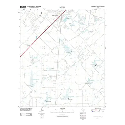
(105)- 2010 Map of San Marcos North, 2010 Print
 2010 San Marcos North2010 Print · USGSCovers Hays County, including San Marcos, Kyle, and other nearby areas
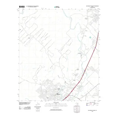
 - 2010 Map of Martindale, 2010 Print
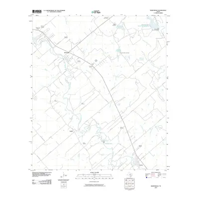 2010 Martindale2010 Print · USGSCovers Hays County, including Martindale, Staples, and other nearby areas
 - 2010 Map of Rough Hollow, 2010 Print
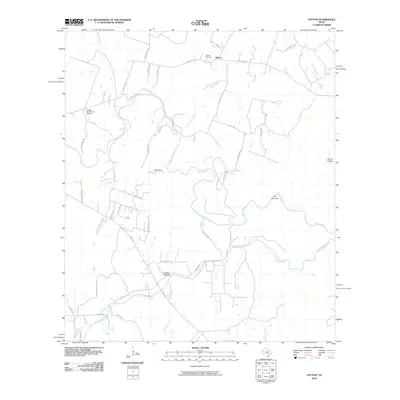
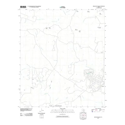 2010 Rough Hollow2010 Print · USGSCovers Hays County, including Mount Sharp, Yell, and other nearby areas
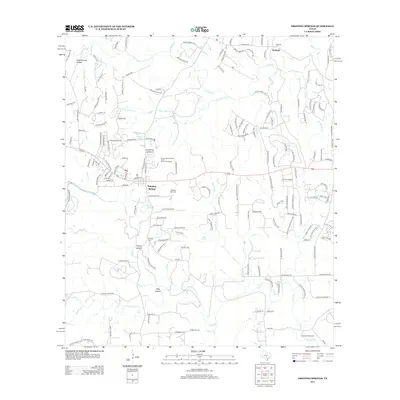
 - 2010 Map of Driftwood, 2010 Print
 2010 Driftwood2010 Print · USGSCovers Hays County, including Wimberley, Woodcreek, and other nearby areas
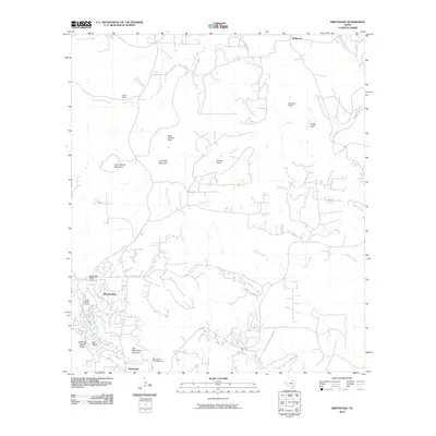
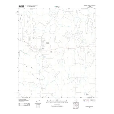
 - 2010 Map of Hammetts Crossing, 2010 Print
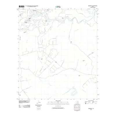
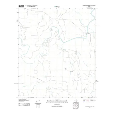 2010 Hammetts Crossing2010 Print · USGSCovers Hays County, including Travis County, Blanco County, and other nearby areas
 - 2010 Map of Mountain City, 2010 Print
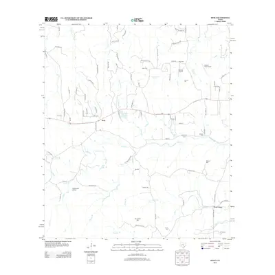
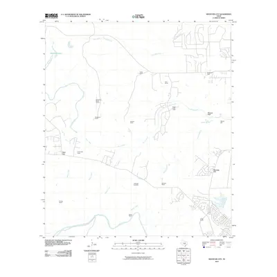 2010 Mountain City2010 Print · USGSCovers Hays County, including Kyle, Buda, and other nearby areas
 - 2010 Map of Signal Hill, 2010 Print
 2010 Signal Hill2010 Print · USGSCovers Hays County, including Austin, Dripping Springs, and other nearby areas
 - 2010 Map of Devils Backbone, 2010 Print
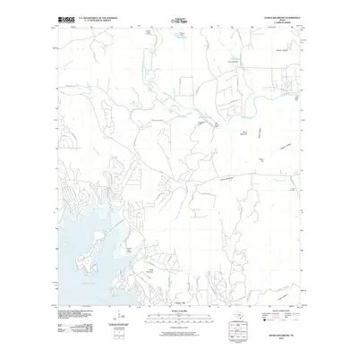 2010 Devils Backbone2010 Print · USGSCovers Hays County, including Wimberley, Hugo, and other nearby areas
 - 2010 Map of Lockhart North, 2010 Print
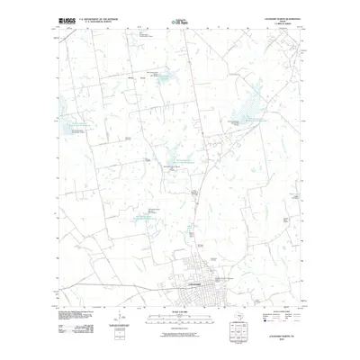 2010 Lockhart North2010 Print · USGSCovers Hays County, including Lockhart, Polonia, and other nearby areas
 - 2010 Map of San Marcos South, 2010 Print
 2010 San Marcos South2010 Print · USGSCovers Hays County, including San Marcos, Zorn, and other nearby areas
 - 2010 Map of Wimberley, 2010 Print
 2010 Wimberley2010 Print · USGSCovers Hays County, including Wimberley, Pioneer Town, and other nearby areas
 - 2010 Map of Uhland, 2010 Print
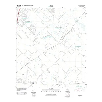 2010 Uhland2010 Print · USGSCovers Hays County, including San Marcos, Kyle, and other nearby areas
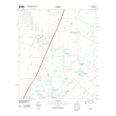
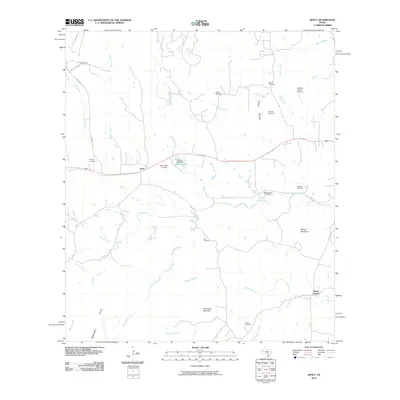
 - 2010 Map of Hunter, 2010 Print
 2010 Hunter2010 Print · USGSCovers Hays County, including New Braunfels, San Marcos, and other nearby areas
 - 2010 Map of Payton, 2010 Print
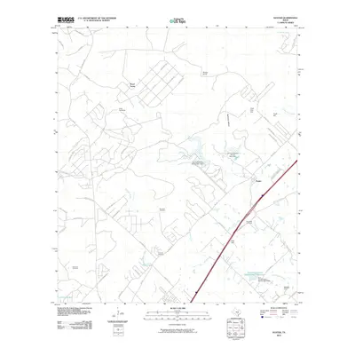
 2010 Payton2010 Print · USGSCovers Hays County, including Payton, Comal County, and other nearby areas
 - 2010 Map of Oak Hill, 2010 Print
 2010 Oak Hill2010 Print · USGSCovers Hays County, including Austin, Sunset Valley, and other nearby areas
 - 2010 Map of Shingle Hills, 2010 Print
 2010 Shingle Hills2010 Print · USGSCovers Hays County, including Lakeway, Bee Cave, and other nearby areas
 - 2010 Map of Creedmoor, 2010 Print
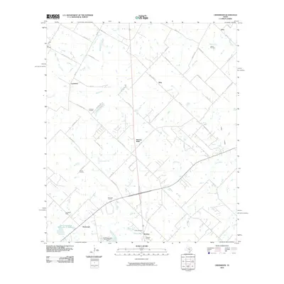 2010 Creedmoor2010 Print · USGSCovers Hays County, including Austin, Mustang Ridge, and other nearby areas
 - 2010 Map of Yeager Creek, 2010 Print
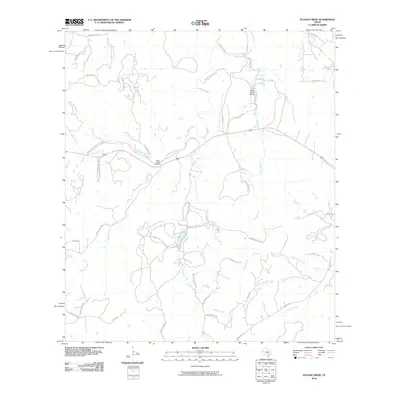 2010 Yeager Creek2010 Print · USGSCovers Hays County, including Blanco County, United States, and other nearby areas
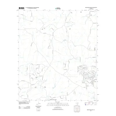
 - 2010 Map of Buda, 2010 Print
 2010 Buda2010 Print · USGSCovers Hays County, including Austin, Kyle, and other nearby areas
 - 2010 Map of Dripping Springs, 2010 Print
 2010 Dripping Springs2010 Print · USGSCovers Hays County, including Dripping Springs, Fitzhugh, and other nearby areas
 - 2010 Map of Henly, 2010 Print
 2010 Henly2010 Print · USGSCovers Hays County, including Dripping Springs, Mount Gainor, and other nearby areas
 - 2012 Map of Rough Hollow, 2012 Print
 2012 Rough Hollow2012 Print · USGSCovers Hays County, including Mount Sharp, Yell, and other nearby areas
 - 2012 Map of Driftwood, 2012 Print
 2012 Driftwood2012 Print · USGSCovers Hays County, including Wimberley, Woodcreek, and other nearby areas
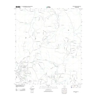
 - 2012 Map of Dripping Springs, 2012 Print
 2012 Dripping Springs2012 Print · USGSCovers Hays County, including Dripping Springs, Fitzhugh, and other nearby areas
 - 2012 Map of Henly, 2012 Print
 2012 Henly2012 Print · USGSCovers Hays County, including Dripping Springs, Mount Gainor, and other nearby areas
Showing maps 1-25 of 105
Top cities of Hays County
- San Marcos historical maps
- Kyle historical maps
- Buda historical maps
- Dripping Springs historical maps
- Wimberley historical maps
- Woodcreek historical maps
See more
Frequently asked questions
- What are the different types of historical maps available for Hays County?
- What is the oldest map of Hays County?
- Where can I purchase historical maps of Hays County for my home or office?
- Where can I download high-res historical maps of Hays County?
- Are there historical topographic maps available for Hays County?
- Is there historical aerial imagery available for Hays County?
- Where are historical maps of Hays County sourced from?