2010s Maps of Hays County, Texas
Explore 84 historic maps of Hays County from the 2010s. These maps offer a rare glimpse into what life looked like during the 2010s — showing old roads, neighborhoods, homes, and landmarks that have changed or disappeared over time.
Whether you're researching your family's past, planning a metal detecting trip, or studying how Hays County's landscape evolved across the 2010s, these high-resolution maps are a powerful tool for exploring the history of this region.
- Focus on a specific era: All maps on this page are from the 2010s, giving you a focused view of this time period.
- See what’s changed: Compare century-old streets, trails, and buildings to today's modern landscape using overlays and satellite layers.
- Research with precision: Use these maps for genealogy, historical research, land use analysis, or educational projects.
- View, download, or print: Maps are fully viewable online in high resolution, and can be downloaded or printed for your own records.
Start exploring Hays County's history through authentic maps from the 2010s. This is your window into the past.
Hays County, TX maps
(84)- 2010 Map of San Marcos North, 2010 Print
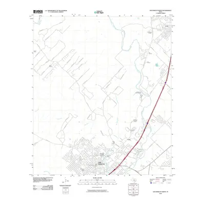 2010 San Marcos North2010 Print · USGSSan Marcos and Kyle appear at a moment of significant growth in the early twenty-first century, spanning from the university campus to the Blanco River. Researchers can trace historic preservation sites like the Belvin Street Historic District and local landmarks such as the Belger-Cahill Lime Kiln.
 - 2010 Map of Martindale, 2010 Print
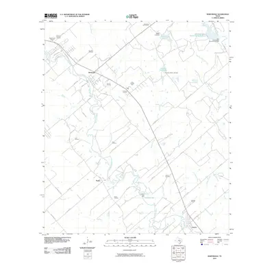 2010 Martindale2010 Print · USGSThe San Marcos River valley in the early twenty-first century reveals a landscape of enduring rural settlements and small family-named cemeteries. Trace local lineage and river geography through Staples Cemetery, Adams Bluff, and Fentress Airpark.
 - 2010 Map of Rough Hollow, 2010 Print
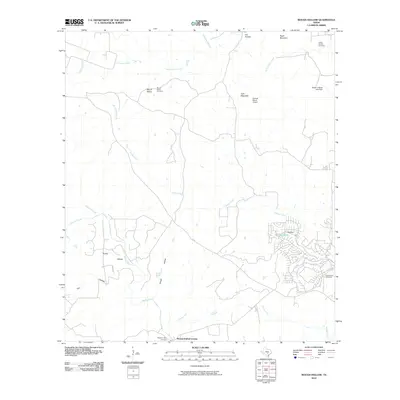 2010 Rough Hollow2010 Print · USGSHays County, Texas, was transitioning into a mix of rural ranchland and residential clusters at the start of the 2010s. Genealogists and local historians can trace legacy sites like Mount Sharp Cemetery, Gatlin-Garrett Cemetery, and the river crossing at PleasantValleyCrossing.
 - 2010 Map of Driftwood, 2010 Print
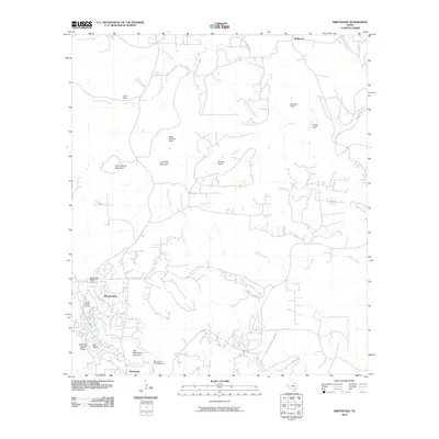 2010 Driftwood2010 Print · USGSWimberley and the surrounding Hill Country ranchlands are captured here during a period of residential growth. Researchers can trace the layout of family-named properties like Nagel Brothers Ranch or locate landmarks such as Old Baldy and the Blue Hole Campground.
 - 2010 Map of Hammetts Crossing, 2010 Print
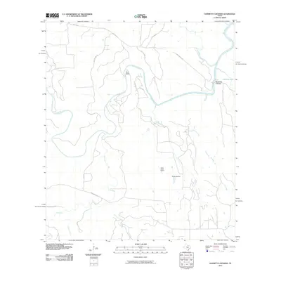 2010 Hammetts Crossing2010 Print · USGSTravis County ranch land and the winding Pedernales River are captured here in the early twenty-first century. Genealogists and local historians can trace family land via Corky Cox Ranch Rd or visit Dead Mans Ford and Hamilton Pool.
 - 2010 Map of Mountain City, 2010 Print
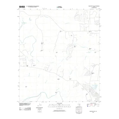 2010 Mountain City2010 Print · USGSHays County's ranching heritage and expanding residential pockets are captured here during the first decade of the millennium. Genealogists and local historians can trace legacy estates like Kuykendall Ranch and landmarks such as Flatrock Ford or the Onion Creek Lodge.
 - 2010 Map of Signal Hill, 2010 Print
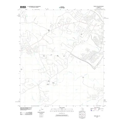 2010 Signal Hill2010 Print · USGSSouthwest Austin was undergoing a steady transition from historic ranchlands to suburban communities at the start of the millennium. Researchers can locate family landmarks like Heissner Ranch and Spillar Ranch, or visit the quiet grounds of Oliver Cemetery.
 - 2010 Map of Devils Backbone, 2010 Print
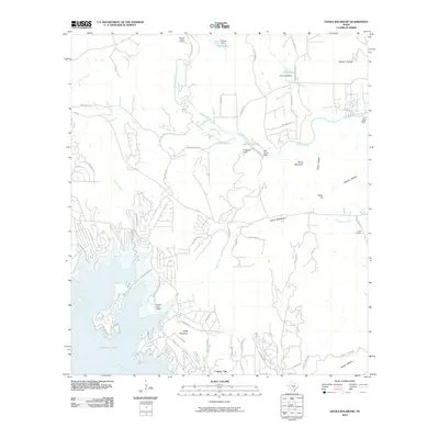 2010 Devils Backbone2010 Print · USGSWimberley and the surrounding Texas Hill Country are shown here in the first decade of the new millennium as the area grew around the Canyon Lake shoreline. Genealogists and researchers can locate the Hugo Cemetery, the Devils Backbone ridge, and the historic El Rancho Cima.
 - 2010 Map of Lockhart North, 2010 Print
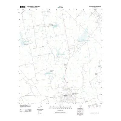 2010 Lockhart North2010 Print · USGSThe Caldwell County seat and its outlying ranch lands are captured here just after the first decade of the millennium. Researchers can trace ancestral sites at Ohlendorf Cemetery and Hooks Cemetery or explore the water management history of Plum Creek.
 - 2010 Map of San Marcos South, 2010 Print
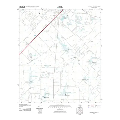 2010 San Marcos South2010 Print · USGSSouth of the San Marcos city center in 2010, the landscape is a mix of expanding retail corridors and rural water management. Researchers can locate family landmarks like Pitts Cemetery and Bading Cemetery or trace the drainage of Cottonwood Creek through numerous conservation reservoirs.
 - 2010 Map of Wimberley, 2010 Print
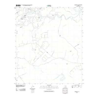 2010 Wimberley2010 Print · USGSWimberley and the Blanco River valley appear in the early 21st century as a mix of residential communities and established Hill Country ranch land. Researchers can trace local landmarks like Pioneer Town, the Houston Boys Camp, and the waters of Cloptins Crossing.
 - 2010 Map of Uhland, 2010 Print
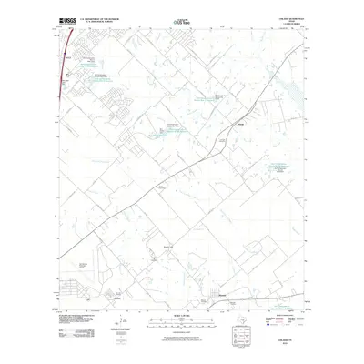 2010 Uhland2010 Print · USGSKyle and Uhland sit at the heart of this Central Texas landscape during a period of steady suburban transition. Researchers can trace rural family heritage at Live Oak Cemetery, Doyle Cemetery, and the historic settlements of Maxwell and Reedville.
 - 2010 Map of Hunter, 2010 Print
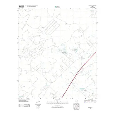 2010 Hunter2010 Print · USGSThe rural landscape between New Braunfels and San Marcos is captured here during a period of modern growth and conservation. Genealogists can locate several historic burial grounds including Rosenthal and Kellerman Cemetery, alongside landmarks like Hunter and Nail Hill.
 - 2010 Map of Payton, 2010 Print
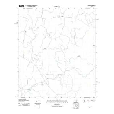 2010 Payton2010 Print · USGSBlanco County ranching country is detailed here during a period of modern rural growth along the river valleys. Local historians and genealogists can trace the Payton community, locate the Payton Cemetery, and map the rugged curves of The Narrows and The Cove.
 - 2010 Map of Oak Hill, 2010 Print
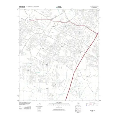 2010 Oak Hill2010 Print · USGSSouthwest Austin and Travis County are captured here during a period of rapid suburban growth. Genealogists and local historians can trace legacy sites like Kincheonville, Oak Hill Cemetery, and the Brown Cemetery.
 - 2010 Map of Shingle Hills, 2010 Print
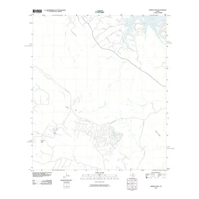 2010 Shingle Hills2010 Print · USGSTravis County ranching heritage meets residential growth near the shores of Lake Travis in the early twenty-first century. Researchers can locate family landmarks like the Peryear Cemetery or trace aviation history at Alexander Ranch Airport.
 - 2010 Map of Creedmoor, 2010 Print
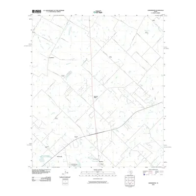 2010 Creedmoor2010 Print · USGSTexas ranching country and growing communities south of Austin are captured here just after the turn of the millennium. Researchers can locate family landmarks like the Vasquez Cemetery and Carl Cemetery or trace the drainage of Maha Creek.
 - 2010 Map of Yeager Creek, 2010 Print
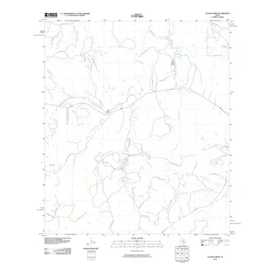 2010 Yeager Creek2010 Print · USGSHays County ranchlands and creek valleys are captured in detail during the early twenty-first century. Genealogists and local historians can trace legacy family landmarks and old transit routes like Miller Creek Cemetery, Byram Ranch Airport, and Payton Colony Rd.
 - 2010 Map of Buda, 2010 Print
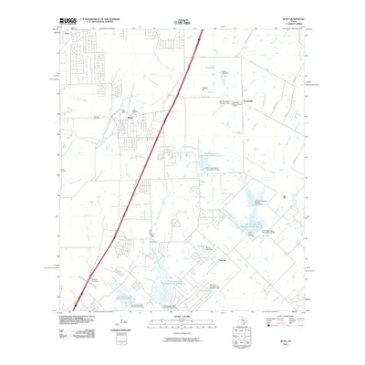 2010 Buda2010 Print · USGSThe Buda area south of Austin shows a landscape of suburban growth and traditional ranchland during the early 2000s. Genealogists and historians can trace local family roots through sites like Antioch Cemetery, the Science Hall school site, and the historic Old San Antonio Rd.
 - 2010 Map of Dripping Springs, 2010 Print
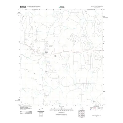 2010 Dripping Springs2010 Print · USGSDripping Springs and the surrounding Hill Country uplands are captured here in the decade following the turn of the millennium. Researchers can trace historic family lands near the Doctor Joseph M and Sarah Pound Farmstead or locate the grounds of Camp Ben McCulloch.
 - 2010 Map of Henly, 2010 Print
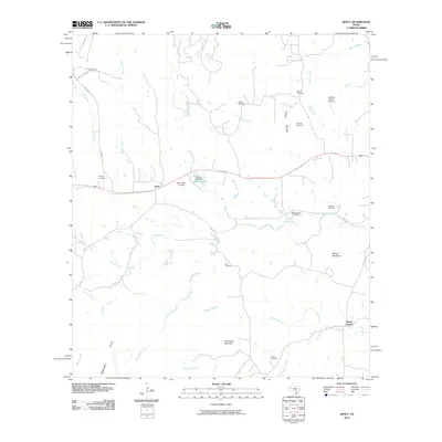 2010 Henly2010 Print · USGSHays County ranch land and family heritage are preserved in this early 21st-century record of the Hill Country. Genealogists can trace family lines through numerous sites like Dye Cemetery, Henly Cemetery, and the high peak of Mount Gainor.
 - 2012 Map of Rough Hollow, 2012 Print
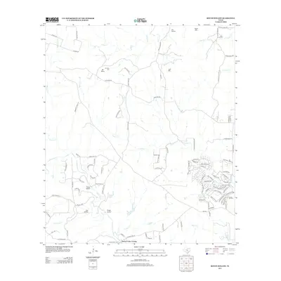 2012 Rough Hollow2012 Print · USGSHays County's Hill Country terrain is captured here in the early twenty-first century, featuring a landscape defined by ranching history and spring-fed waters. Researchers can locate family burial sites like Mt Sharp Cem or trace the early settlement near Pleasant Valley Crossing and the iconic Jacobs Well Spring.
 - 2012 Map of Driftwood, 2012 Print
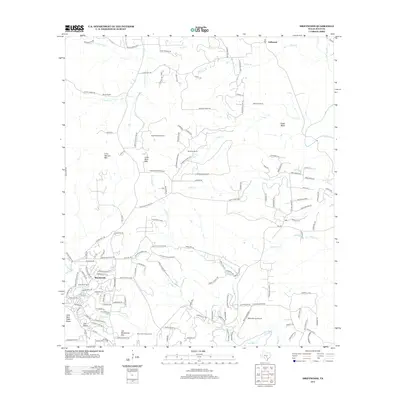 2012 Driftwood2012 Print · USGSThe Texas Hill Country southwest of Austin comes into focus during this period of growing residential communities and traditional ranching. Researchers can trace family-named peaks and large estates, from Joe Wimberley Mtn and Old Baldy to the Nagel Brothers Ranch.
 - 2012 Map of Dripping Springs, 2012 Print
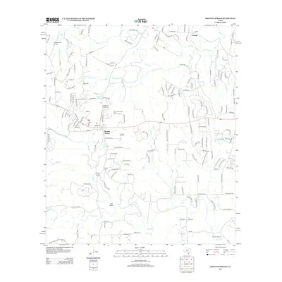 2012 Dripping Springs2012 Print · USGSDripping Springs and the community of Fitzhugh are shown here in the early twenty-first century as suburban growth meets Hill Country ranching roots. Genealogists and historians can locate the Pound Farmstead, Camp Ben McCulloch, and several family-named burial sites like Phillips Cem.
 - 2012 Map of Henly, 2012 Print
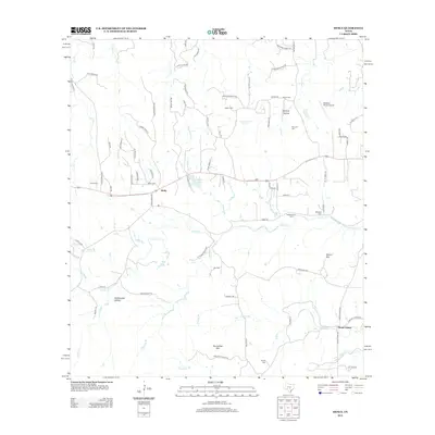 2012 Henly2012 Print · USGSThe ranching country of western Hays County comes into focus in this early twenty-first-century survey centered on Henly. Genealogists and local historians can trace legacy landholdings through numerous family sites like Pursley Cem, McKellar Cem, and Roundtree Mtn.
Showing maps 1-25 of 84
Top cities of Hays County
- San Marcos historical maps
- Kyle historical maps
- Buda historical maps
- Dripping Springs historical maps
- Wimberley historical maps
- Woodcreek historical maps
See more
Frequently asked questions
- What are the different types of historical maps available for Hays County?
- What is the oldest map of Hays County?
- Where can I purchase historical maps of Hays County for my home or office?
- Where can I download high-res historical maps of Hays County?
- Are there historical topographic maps available for Hays County?
- Is there historical aerial imagery available for Hays County?
- Where are historical maps of Hays County sourced from?