Old Maps of Covington, Texas for Genealogy
Trace your family roots with 18 historic maps of Covington. These high-res maps reveal old neighborhoods, homesites, landmarks, and streets — helping you uncover where your ancestors lived and how the area evolved over time.
- Explore historic neighborhoods: Identify where your relatives may have lived in the 1800s or 1900s.
- Compare maps over time: Trace the changes in streets, buildings, and landmarks for multi-generational research.
- Perfect for genealogy & ancestry research: Used by family historians and researchers to map out lineage and migration.
These maps are an incredible resource for exploring your personal connection to Covington's past.
Covington, TX maps
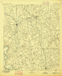
(18)- 1891 Map of Cleburne
 1891 Cleburne1891 Print · USGSNorth Texas in the late nineteenth century was a land transformed by new iron rails and established river crossings. Genealogists and researchers can trace the early footprints of Cleburne and Hillsboro alongside vanished stops like Port Graham and Files Valley.
 - 1894 Map of Cleburne
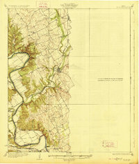
 1894 Cleburne1894 Print · USGSNorth Central Texas was a burgeoning rail and cattle hub in the late nineteenth century. Genealogists and historians can trace the growth of Cleburne and Hillsboro alongside vanished river landings like Fort Graham and Kimball on the Brazos River.5 unique versions available
 - 1927 Map of Blum
 1927 Blum1927 Print · USGSThe Brazos River valley and the rail towns of Hill and Bosque Counties are captured here in the mid-twenties. Genealogists can trace rural landmarks like Plainview School, Heath Cem, and historic river fords like Ft Graham Crossing.2 unique versions available
 - 1954 Map of Dallas, 1963 Print
 1954 Dallas1963 Print · USGSNorth Texas in the mid-fifties and early sixties reveals a landscape of rapid urban growth and water management. Genealogists and historians can trace the evolution of the metroplex through landmarks like Hensley Field, Boles Orphan Home, and the Texas & Pacific RR.4 unique versions available
 - 1958 Map of Dallas
 1958 Dallas1958 Print · USGSNorth Texas in the late fifties shows the dramatic expansion of the Metroplex as it absorbs surrounding farm towns. Genealogists and historians can trace old rail lines like the Missouri-Kansas-Texas and locate early lakefront developments at Eagle Mountain Lake and Lake Worth Village.
 - 1965 Map of Itasca, 1968 Print
 1965 Itasca1968 Print · USGSItasca and the surrounding Hill County plains are captured here in the mid-1960s as a thriving rail and ranching community. Researchers can trace local genealogy and land use via the Missouri Kansas Texas railroad, the town Cem, and High Sch.
 - 1966 Map of Covington, 1968 Print
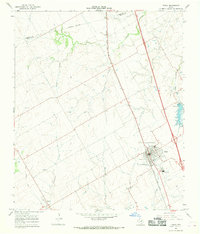
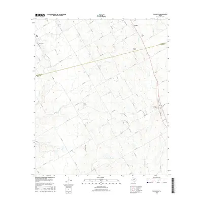
 1966 Covington1968 Print · USGSSpanning the Johnson and Hill County line in the mid-1960s, this survey shows a landscape of small settlements and prairie creeks. Genealogists can trace family roots through Union Hill Ch, Hart Cem, and the old rail corridor at Covington.2 unique versions available
 - 1985 Map of Cleburne
 1985 Cleburne1985 Print · USGSThe Brazos River valley and its major mid-century reservoirs dominate this North Central Texas landscape during the 1980s. Local researchers can trace family roots through sites like Mt Carmel Ch, Oak Hill Sch, and the unique river bends near Glen Rose.2 unique versions available
 - 2010 Map of Itasca, 2010 Print
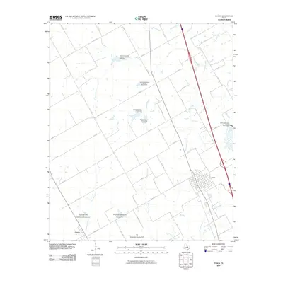 2010 Itasca2010 Print · USGSCovers Covington, including Itasca, Grandview, and other nearby areas
 - 2010 Map of Covington, 2010 Print
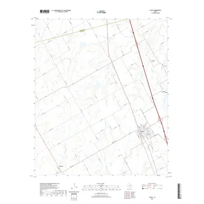
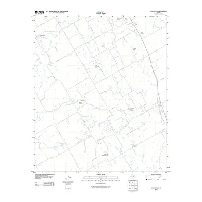 2010 Covington2010 Print · USGSCovers Covington, including Rio Vista, Derden, and other nearby areas
 - 2012 Map of Itasca, 2012 Print
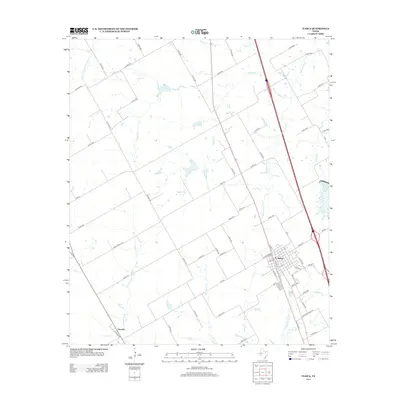 2012 Itasca2012 Print · USGSCovers Covington, including Itasca, Grandview, and other nearby areas
 - 2012 Map of Covington, 2012 Print
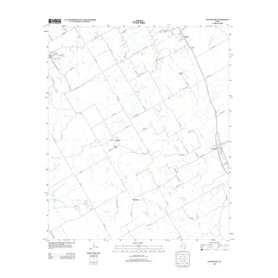 2012 Covington2012 Print · USGSCovers Covington, including Rio Vista, Derden, and other nearby areas
 - 2016 Map of Itasca, 2016 Print
 2016 Itasca2016 Print · USGSCovers Covington, including Itasca, Grandview, and other nearby areas
 - 2016 Map of Covington, 2016 Print
 2016 Covington2016 Print · USGSCovers Covington, including Rio Vista, Derden, and other nearby areas
 - 2019 Map of Itasca, 2019 Print
 2019 Itasca2019 Print · USGSCovers Covington, including Itasca, Grandview, and other nearby areas
 - 2019 Map of Covington, 2019 Print
 2019 Covington2019 Print · USGSCovers Covington, including Rio Vista, Derden, and other nearby areas
 - 2022 Map of Itasca, 2022 Print
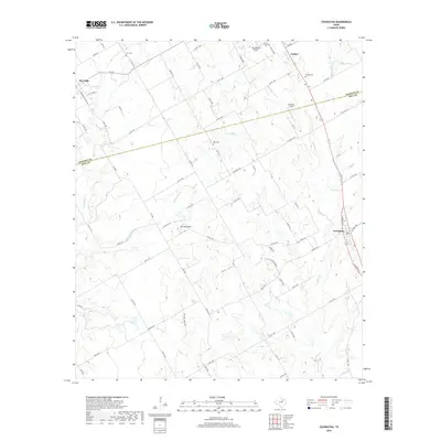
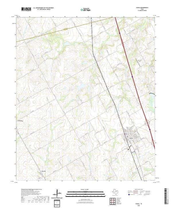 2022 Itasca2022 Print · USGSNorth Texas farm country comes into focus in this recent study of the Hill and Johnson County border. Genealogists and local historians can trace the streets of Itasca, find family sites near Itasca Cem, and locate Osceola and Covington along the creek-fed prairies.
 - 2022 Map of Covington, 2022 Print
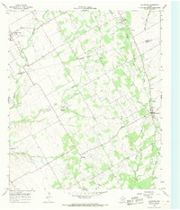
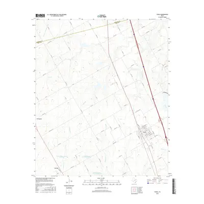
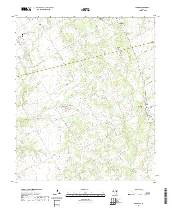 2022 Covington2022 Print · USGSCovington and the Hill County ranchlands appear here in the early twenty-first century, showcasing a landscape of family farms and creek-side settlements. Genealogists can locate several rural burial grounds including Derden Cem, Kinard Cem, and Hart Cem.
End of results
Showing maps 1-18 of 18
Top cities near Covington
- Cleburne historical maps
- Midlothian historical maps
- Hillsboro historical maps
- Keene historical maps
- Venus historical maps
- Alvarado historical maps
See more
Frequently asked questions
- What are the different types of historical maps available for Covington?
- What is the oldest map of Covington?
- Where can I purchase historical maps of Covington for my home or office?
- Where can I download high-res historical maps of Covington?
- Are there historical topographic maps available for Covington?
- Is there historical aerial imagery available for Covington?
- Where are historical maps of Covington sourced from?