Old Maps of Fall Creek, Texas for Academic Research
Study the evolution of Fall Creek with 12 high-resolution historic maps. Whether you're teaching, researching, or modeling changes in land use, these maps provide essential visual documentation of urban, environmental, and geographic change.
- Analyze long-term change: Track patterns in development, transportation, and natural features.
- Ideal for environmental or urban studies: Support academic projects with primary historical map data.
- Use in the classroom or lab: Educators and researchers rely on these maps to bring historical context to life.
These maps are a powerful tool for teaching, research, and visualizing how Fall Creek has changed over the decades.
Fall Creek, TX maps
(12)- 1889 Map of Granbury
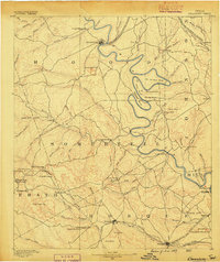 1889 Granbury1889 Print · USGSIn the late 1880s, the Brazos River dictated the life and travel of North Texas, carving deep bends through Hood and Somervell counties. Genealogists and historians can trace early settlements like Fort Spunky and Glenrose or the routes of the Texas Central Railroad.6 unique versions available
 - 1923 Map of Granbury 1-b
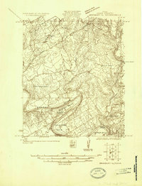 1923 Granbury 1-b1923 Print · USGSHood County in the early twenties reveals a landscape defined by the winding Brazos River and the arrival of early motor highways. Trace family roots and old property lines near Acton, Shady Grove School, and the dramatic river loops at Carmichael Bend.
 - 1928 Map of Godley
 1928 Godley1928 Print · USGSThe Brazos River winds through Hood and Somervell Counties in the mid-1920s, defining a landscape of deep river bends and rural crossroads. Researchers can locate early educational landmarks like Cordova Bend School and Harmony School, or trace the site of Ft Spunky.2 unique versions available
 - 1954 Map of Dallas, 1963 Print
 1954 Dallas1963 Print · USGSNorth Texas in the mid-fifties and early sixties reveals a landscape of rapid urban growth and water management. Genealogists and historians can trace the evolution of the metroplex through landmarks like Hensley Field, Boles Orphan Home, and the Texas & Pacific RR.4 unique versions available
 - 1958 Map of Dallas
 1958 Dallas1958 Print · USGSNorth Texas in the late fifties shows the dramatic expansion of the Metroplex as it absorbs surrounding farm towns. Genealogists and historians can trace old rail lines like the Missouri-Kansas-Texas and locate early lakefront developments at Eagle Mountain Lake and Lake Worth Village.
 - 1961 Map of Acton, 1963 Print
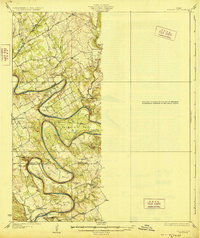
 1961 Acton1963 Print · USGSHood County's river-bottom lands are captured here in the early sixties, centered on the historic community of Acton. Local historians can trace the deep loops of the Brazos River and locate family landmarks like Miller Cem, Acton Ch, and Snider.5 unique versions available
 - 1985 Map of Cleburne
 1985 Cleburne1985 Print · USGSThe Brazos River valley and its major mid-century reservoirs dominate this North Central Texas landscape during the 1980s. Local researchers can trace family roots through sites like Mt Carmel Ch, Oak Hill Sch, and the unique river bends near Glen Rose.2 unique versions available
 - 2010 Map of Acton, 2010 Print
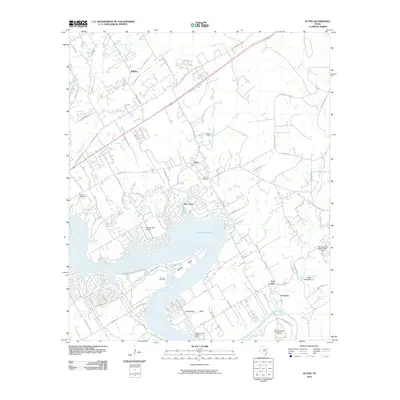 2010 Acton2010 Print · USGSCovers Fall Creek, including Granbury, Acton, and other nearby areas
 - 2012 Map of Acton, 2012 Print
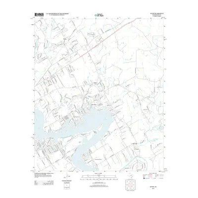 2012 Acton2012 Print · USGSCovers Fall Creek, including Granbury, Acton, and other nearby areas
 - 2016 Map of Acton, 2016 Print
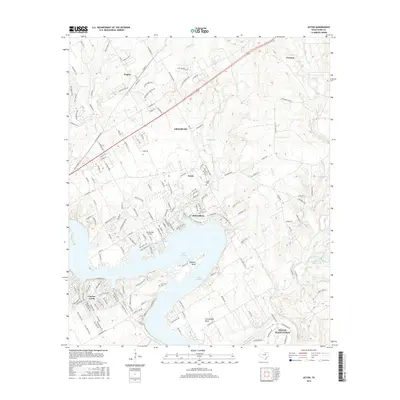 2016 Acton2016 Print · USGSCovers Fall Creek, including Granbury, Acton, and other nearby areas
 - 2019 Map of Acton, 2019 Print
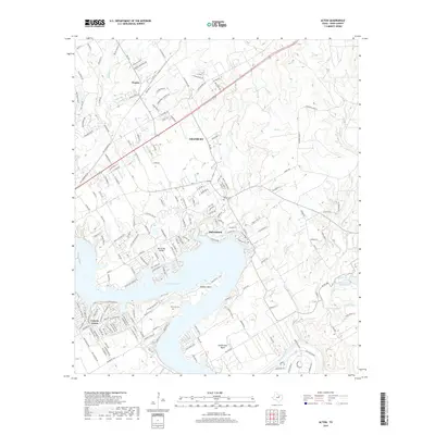 2019 Acton2019 Print · USGSCovers Fall Creek, including Granbury, Acton, and other nearby areas
 - 2022 Map of Acton, 2022 Print
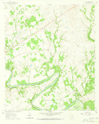
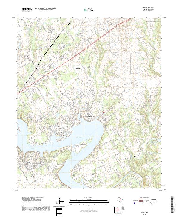 2022 Acton2022 Print · USGSThe Brazos River valley in Hood County shows a landscape transformed by water and suburban growth in the early twenty-first century. Genealogists can locate family sites at Acton Cem, W M Miller Cem, and the community of DeCordova.
End of results
Showing maps 1-12 of 12
Top cities near Fall Creek
- Fort Worth historical maps
- Burleson historical maps
- Cleburne historical maps
- Joshua historical maps
- Granbury historical maps
- Glen Rose historical maps
See more
Frequently asked questions
- What are the different types of historical maps available for Fall Creek?
- What is the oldest map of Fall Creek?
- Where can I purchase historical maps of Fall Creek for my home or office?
- Where can I download high-res historical maps of Fall Creek?
- Are there historical topographic maps available for Fall Creek?
- Is there historical aerial imagery available for Fall Creek?
- Where are historical maps of Fall Creek sourced from?