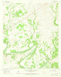
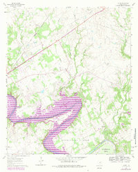
1961 Map of Acton
USGS Topo · Published 1963About this map
The Brazos River meanders in dramatic, wide loops across this 1961 survey, carving out prominent landforms known as Walters Bend, Carmichael Bend, and De Cordova Bend. This fluvial landscape is defined by its deep bends and the numerous tributaries feeding into them, including Fall Creek, Walnut Creek, and Station Creek. The community of Acton serves as a local focal point, notable for Acton State Park and the nearby Acton Cem. To the northwest, the Gulf Colorado and Santa Fe railroad runs through Waples, indicating the region's historical reliance on rail transport for moving goods and people.
Find a feature on this map
34 named features on this map. Tap any name to fly to it.
Don’t see what you’re looking for? This feature index may not catch every label — zoom into the map to look around manually.
Map Details
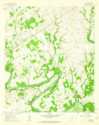
Editions of this 1961 Acton Map
5 editions found
Other maps of this area

1889 · Granbury
USGS Topo · 1:125,000

1891 · Weatherford
USGS Topo · 1:125,000

1893 · Weatherford
USGS Topo · 1:125,000

1923 · Granbury 2-a
USGS Topo · 1:48,000

1923 · Granbury 1-b
USGS Topo · 1:48,000

1924 · Weatherford 3-d
USGS Topo · 1:48,000

1924 · Granbury 1-c
USGS Topo · 1:48,000

1928 · Godley
USGS Topo · 1:62,500

1931 · Dennis
USGS Topo · 1:62,500

1931 · Tolar
USGS Topo · 1:62,500