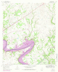
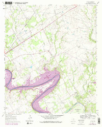
1961 Map of Acton
USGS Topo · Published 1984About this map
The Brazos River carves a deep, serpentine path through the heart of this Hood County survey, defined by the dramatic loops of Walters Bend, Carmichael Bend, and De Cordova Bend. The 1979 photorevisions highlight the expansion of Lake Granbury and the emerging residential patterns along its shoreline, contrasting with the older rural landscape.
Find a feature on this map
31 named features on this map. Tap any name to fly to it.
Don’t see what you’re looking for? This feature index may not catch every label — zoom into the map to look around manually.
Map Details
Editions of this 1961 Acton Map
5 editions found
Other maps of this area

1889 · Granbury
USGS Topo · 1:125,000

1891 · Weatherford
USGS Topo · 1:125,000

1893 · Weatherford
USGS Topo · 1:125,000

1923 · Granbury 2-a
USGS Topo · 1:48,000

1923 · Granbury 1-b
USGS Topo · 1:48,000

1924 · Weatherford 3-d
USGS Topo · 1:48,000

1924 · Granbury 1-c
USGS Topo · 1:48,000

1928 · Godley
USGS Topo · 1:62,500

1931 · Dennis
USGS Topo · 1:62,500

1931 · Tolar
USGS Topo · 1:62,500