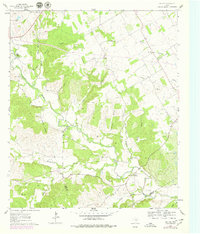
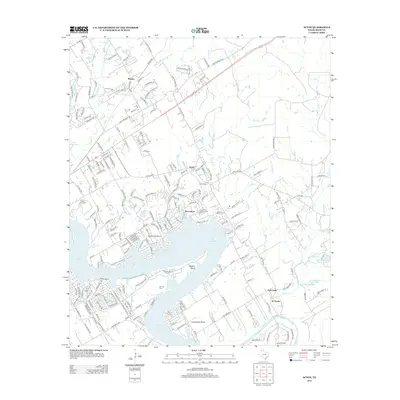
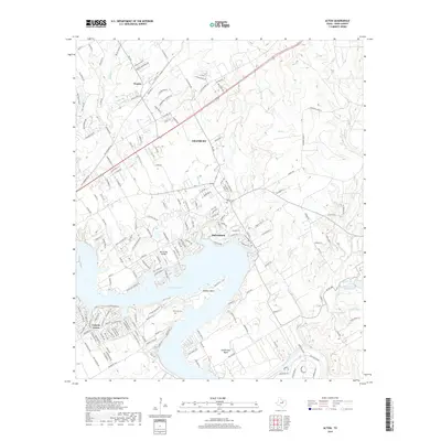
1961 Map of Acton
USGS Topo · Published 1973About this map
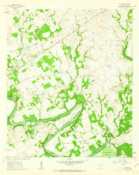
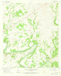
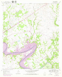
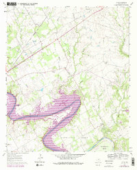
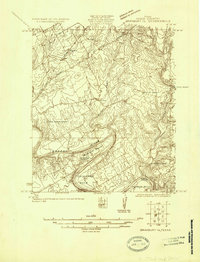
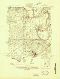
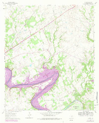
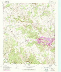
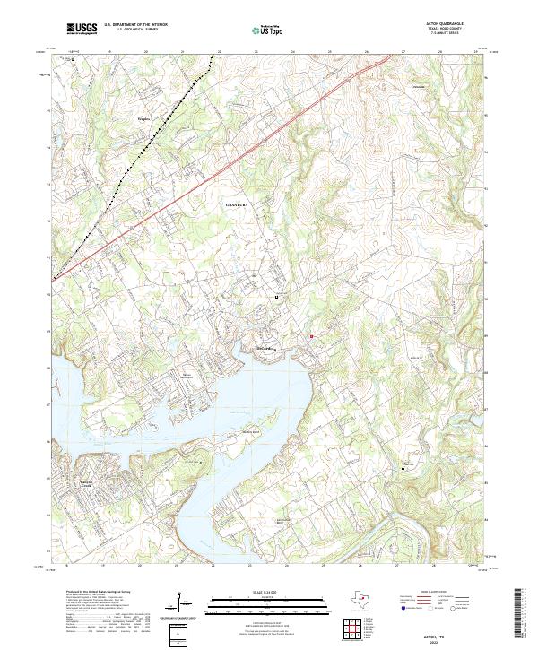
The winding Brazos River dominates this 1961 Texas survey, carving deep, dramatic loops known as Walters Bend, Carmichael Bend, and De Cordova Bend through the Hood County landscape. This rural area is defined by its watercourses and early transportation networks, including the G. C. & S. F. Ry corridor passing through Waples. Historically significant sites are clustered near the center of the sheet, where Acton State Park and the adjacent Acton Cem preserve a small but vital footprint of local heritage. Further north, the land transitions into a mix of wooded draws and open fields drained by Rucker Creek and Walnut Creek. For those tracing local family roots, the map records several community landmarks like Fall Creek Cem, Miller Cem, and the scouting grounds at Camp Leonard.
Find a feature on this map
1 named feature on this map. Tap any name to fly to it.
Don’t see what you’re looking for? This feature index may not catch every label — zoom into the map to look around manually.
Map Details
Editions of this 1961 Acton Map
5 editions found
Historical Maps of Granbury Through Time
20 maps found
1923 Granbury 1-b
Hood County, TX
1923 Granbury 2-a
Hood County, TX
1961 Acton
Hood County, TX
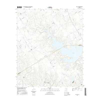
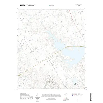
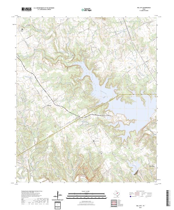
1961 Hill City
Hood County, TX
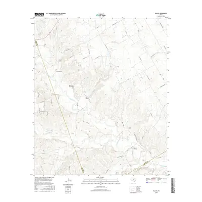
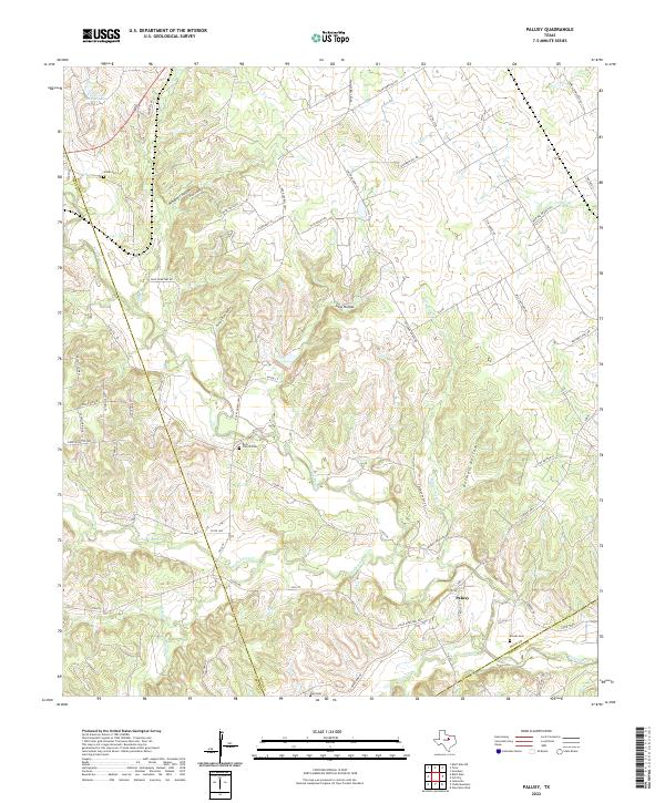
1961 Paluxy
Hood County, TX
2010 Acton
Hood County, TX
2010 Hill City
Hood County, TX
2010 Paluxy
Hood County, TX
2012 Acton
Hood County, TX
2012 Paluxy
Hood County, TX
2013 Hill City
Hood County, TX
2016 Acton
Hood County, TX
2016 Hill City
Hood County, TX
2016 Paluxy
Hood County, TX
2019 Acton
Hood County, TX
2019 Hill City
Hood County, TX
2019 Paluxy
Hood County, TX
2022 Acton
Hood County, TX
2022 Paluxy
Hood County, TX
2023 Hill City
Hood County, TX