Old Maps of Easley Chapel, Texas for Academic Research
Study the evolution of Easley Chapel with 12 high-resolution historic maps. Whether you're teaching, researching, or modeling changes in land use, these maps provide essential visual documentation of urban, environmental, and geographic change.
- Analyze long-term change: Track patterns in development, transportation, and natural features.
- Ideal for environmental or urban studies: Support academic projects with primary historical map data.
- Use in the classroom or lab: Educators and researchers rely on these maps to bring historical context to life.
These maps are a powerful tool for teaching, research, and visualizing how Easley Chapel has changed over the decades.
Easley Chapel, TX maps
(12)- 1946 Map of Alto
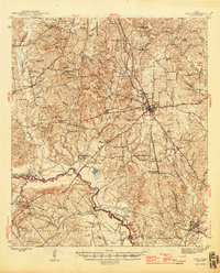 1946 Alto1946 Print · USGSEast Texas at the end of World War II reveals a landscape deeply connected to its frontier origins, anchored by Alto and the Neches River. Genealogists and historians can trace local landmarks like the Bowles Monument, Central High Sch, and the Site of Ft Lacy along the historic El Camino Real.2 unique versions available
 - 1953 Map of Palestine, 1964 Print
 1953 Palestine1964 Print · USGSEast Texas was defined by its deep pine forests and burgeoning energy sector in the mid-1950s. Genealogists and historians can trace the rail-and-river economy through settlements like Tennessee Colony and Pollok or explore the early footprints of the Cayuga Oil Field and Davy Crockett National Forest.2 unique versions available
 - 1957 Map of Palestine
 1957 Palestine1957 Print · USGSEast Texas in the mid-fifties reveals a landscape of deep pine forests and winding river valleys before the era of massive reservoir construction. Researchers can trace the legacy of the timber and rail industries through labels for the Missouri Pacific RR, Davy Crockett National Forest, and Nacogdoches.
 - 1973 Map of Weches, 1977 Print
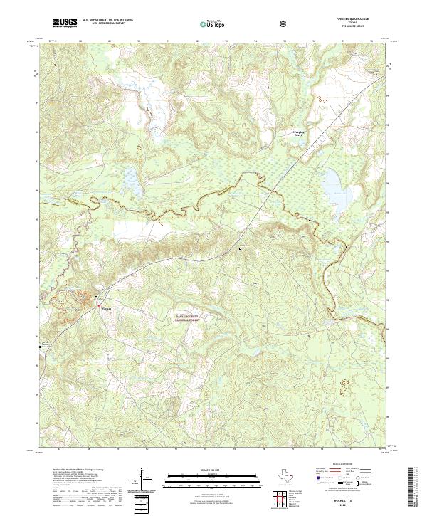
 1973 Weches1977 Print · USGSEast Texas timberlands and river bottoms are captured here in the early seventies, spanning the border of Houston and Cherokee counties. Researchers can trace the path of the Old Railroad Grade or locate local landmarks like Weeping Mary and St Thomas Chapel.2 unique versions available
 - 1981 Map of Palestine
 1981 Palestine1981 Print · USGSEast Texas was a crossroads of timber, rail, and energy in the early eighties, centered on the bustling junction at Palestine. Researchers can trace family roots through rural landmarks like Old Pioneer Cem, Lynch Academy, and Hudson Chapel.
 - 1984 Map of Palestine
 1984 Palestine1984 Print · USGSEast Texas in the mid-eighties reveals a landscape of massive reservoirs and protected timberlands between Palestine and Nacogdoches. Researchers can trace old routes like the Missouri Pacific RR and locate rural communities such as Tennessee Colony, Latexo, and Etoile.3 unique versions available
 - 2004 Map of Weches, 2006 Print
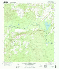
 2004 Weches2006 Print · USGSThe dense East Texas timberlands meet the winding Neches River in this mid-2000s survey of the Houston and Cherokee county border. Genealogists and local historians can trace the sites of Weeping Mary, St Thomas Chapel, and the historic Indian Mound Nursery.
 - 2010 Map of Weches, 2010 Print
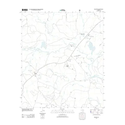
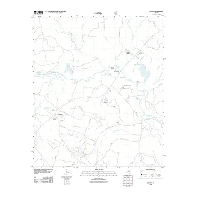 2010 Weches2010 Print · USGSCovers Easley Chapel, including Weeping Mary, Weches, and other nearby areas
 - 2013 Map of Weches, 2013 Print
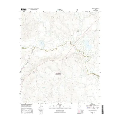
 2013 Weches2013 Print · USGSCovers Easley Chapel, including Weeping Mary, Weches, and other nearby areas
 - 2016 Map of Weches, 2016 Print
 2016 Weches2016 Print · USGSCovers Easley Chapel, including Weeping Mary, Weches, and other nearby areas
 - 2019 Map of Weches, 2019 Print
 2019 Weches2019 Print · USGSCovers Easley Chapel, including Weeping Mary, Weches, and other nearby areas
 - 2022 Map of Weches, 2022 Print
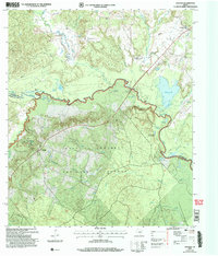
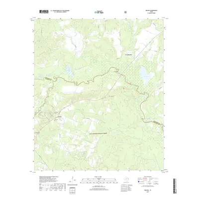
 2022 Weches2022 Print · USGSThe Piney Woods of eastern Texas come into focus here, where the Neches River divides the landscape between Houston and Cherokee counties. Researchers can locate remote burial sites like Easley Cem and the Dan and Hannah McLean Graves or trace the early paths of Weches.
End of results
Showing maps 1-12 of 12
Top cities near Easley Chapel
- Rusk historical maps
- Alto historical maps
- Wells historical maps
- Kennard historical maps
- Hickory Creek historical maps
Frequently asked questions
- What are the different types of historical maps available for Easley Chapel?
- What is the oldest map of Easley Chapel?
- Where can I purchase historical maps of Easley Chapel for my home or office?
- Where can I download high-res historical maps of Easley Chapel?
- Are there historical topographic maps available for Easley Chapel?
- Is there historical aerial imagery available for Easley Chapel?
- Where are historical maps of Easley Chapel sourced from?