2000s (21st Century) Maps of Jasper County, Texas
Explore 141 historic maps of Jasper County from the 2000s (21st Century). These maps offer a rare glimpse into what life looked like during the 2000s — showing old roads, neighborhoods, homes, and landmarks that have changed or disappeared over time.
Whether you're researching your family's past, planning a metal detecting trip, or studying how Jasper County's landscape evolved across the 2000s, these high-resolution maps are a powerful tool for exploring the history of this region.
- Focus on a specific era: All maps on this page are from the 2000s, giving you a focused view of this time period.
- See what’s changed: Compare century-old streets, trails, and buildings to today's modern landscape using overlays and satellite layers.
- Research with precision: Use these maps for genealogy, historical research, land use analysis, or educational projects.
- View, download, or print: Maps are fully viewable online in high resolution, and can be downloaded or printed for your own records.
Start exploring Jasper County's history through authentic maps from the 2000s. This is your window into the past.
Jasper County, TX maps
(141)- 2003 Map of Pace Hill, 2004 Print
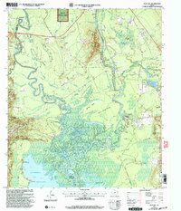 2003 Pace Hill2004 Print · USGSThe Angelina River bottomlands at the turn of the twenty-first century reveal a landscape of deep Texas history and complex hydrology. Genealogists and local historians can trace legacy sites like the Bevilport Townsite, Farrell Cem, and Homer Ch among the river's many sloughs.
 - 2003 Map of Ebenezer, 2004 Print
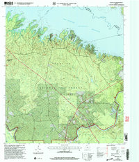 2003 Ebenezer2004 Print · USGSJasper County timberlands and the deep waters of the Angelina River are captured here at the start of the millennium. Researchers can locate family landmarks like Speir Cem and Jordan Cem or trace the early settlement at the Zavala (Historical Site).
 - 2003 Map of Buck Bay, 2004 Print
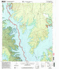 2003 Buck Bay2004 Print · USGSThe wooded borders of San Augustine and Sabine counties are captured here as the reservoir era matured in East Texas. Researchers can locate historic family burial sites like Lakey Cem and Williams Cem or trace the winding shoreline of Ayish Bayou.
 - 2003 Map of Pineland South, 2004 Print
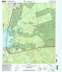 2003 Pineland South2004 Print · USGSEast Texas timberlands and the shoreline of the reservoir define this area at the start of the millennium. Genealogists can locate several family landmarks and community sites like Lowe Cem, Lone Star Ch, and the settlement of Stringtown.
 - 2003 Map of Rockland, 2004 Print
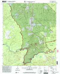 2003 Rockland2004 Print · USGSDeep in the Piney Woods during the early 2000s, this area traces the historic Neches River corridor. Genealogists can locate family burial grounds like Barge Cem and Kitchen Cem, while historians can find the Site of Fort Teran.
 - 2003 Map of McGee Bend, 2004 Print
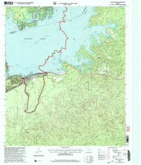 2003 McGee Bend2004 Print · USGSJasper County at the dawn of the new millennium shows a landscape defined by the waters of the Sam Rayburn Reservoir. Researchers can trace the developed shorelines near Rayburn Country and locate specific facilities like the McGee Bend Dam and Ebenezer Park (COE).
 - 2010 Map of Jamestown, 2010 Print
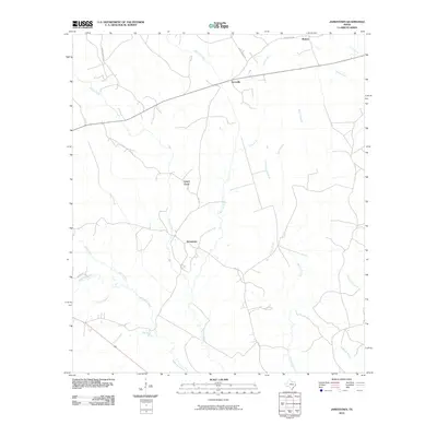 2010 Jamestown2010 Print · USGSNewton County remains a landscape of deep piney woods and winding creeks in the early twenty-first century. Genealogists and local historians can trace the rural crossroads of Jamestown and Farrsville or follow the banks of Big Cow Creek and Lewis Gully.
 - 2010 Map of Harrisburg, 2010 Print
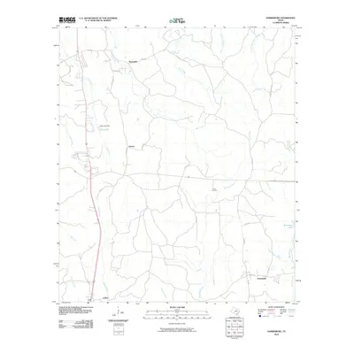 2010 Harrisburg2010 Print · USGSJasper County timberlands and rural junctions are captured here in the early twenty-first century. Genealogists and researchers can locate the Frisby Cemetery and trace the paths of local water bodies like Big Cow Creek and Seay Lake.
 - 2010 Map of Jasper East, 2010 Print
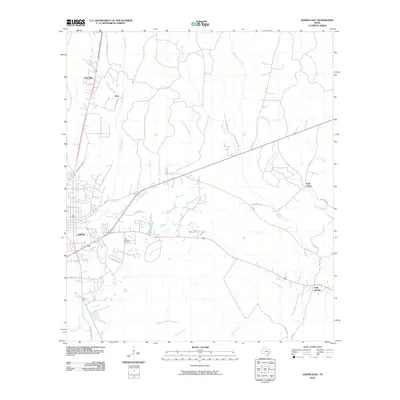 2010 Jasper East2010 Print · USGSJasper's eastern timberlands and rural outposts are captured here at the start of the decade. Genealogists and local historians can trace family locations near the Cole Springs Cemetery or follow the historic paths of Old U.S. Hwy 96 through Blox and Holly Springs.
 - 2010 Map of Buna, 2010 Print
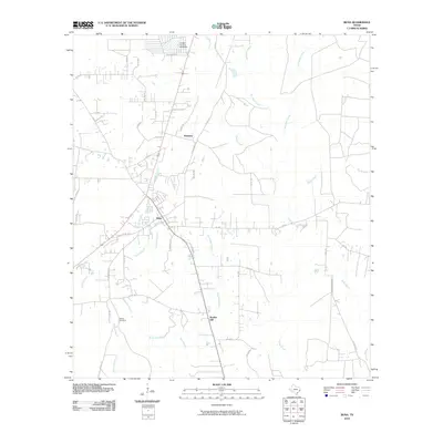 2010 Buna2010 Print · USGSJasper County timberland and small-town life are documented here as they appeared in the early twenty-first century. Researchers can trace the local landscape through historic routes like Old Tram Rd and locate family sites such as Morse Cemetery or the community at Bessmay.
 - 2010 Map of Call Junction, 2010 Print
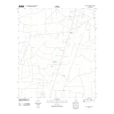 2010 Call Junction2010 Print · USGSJasper County at the end of the 2000s shows a landscape of quiet East Texas settlements and intersecting creek beds. Genealogists and locals can trace the rural layout of Call Junction, Le Verte, and Forbes alongside landmarks like the Garcia Lake Dam.
 - 2010 Map of Tater Patch Lake, 2010 Print
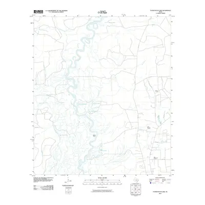 2010 Tater Patch Lake2010 Print · USGSThe Neches River bottomlands are captured here in the early twenty-first century, showing a landscape shaped by water and industry. Genealogists and local historians can trace family ties at Withers Cemetery or locate the Sally Withers Lake Oil Field and Cairo Springs Lookout.
 - 2010 Map of Newton West, 2010 Print
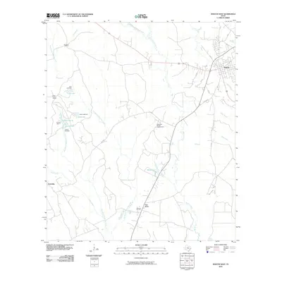 2010 Newton West2010 Print · USGSNewton County's western reaches are captured here in the early twenty-first century as the city of Newton transitions into a landscape of timber and creek bottoms. Researchers can locate rural landmarks such as Big Spring Cemetery, Clare Creek School, and the East Texas Baptist Encampment along the winding Big Cow Creek.
 - 2010 Map of Roganville, 2010 Print
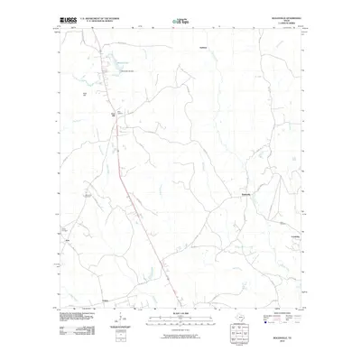 2010 Roganville2010 Print · USGSJasper County timberlands and small rural communities are captured here just after the turn of the century. Genealogists can locate family burial sites like McLemore Cemetery and Boyett Cemetery or trace the early roads connecting Roganville, Erin, and Eclipse.
 - 2010 Map of Jasper West, 2010 Print
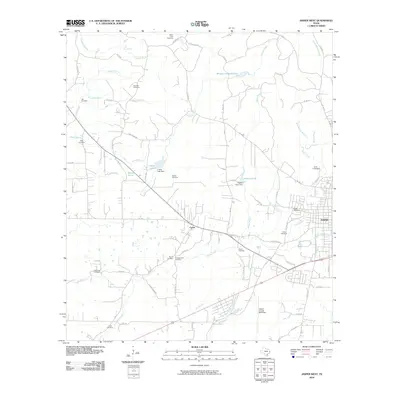 2010 Jasper West2010 Print · USGSThe western reaches of JASPER and the surrounding piney woods are captured here in the early twenty-first century. Genealogists can trace family heritage through a high density of rural burial sites, such as Little Hope Cemetery and Watts-Fuller Cemetery.
 - 2010 Map of Kirbyville, 2010 Print
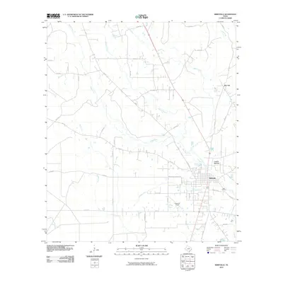 2010 Kirbyville2010 Print · USGSKirbyville and its rural Jasper County surroundings are captured in the first decade of the millennium, showing the transition from town center to deep piney woods. Genealogists and researchers can locate the Bean Cemetery, the community of Bon Ami, and the winding path of Trout Creek.
 - 2010 Map of Bleakwood, 2010 Print
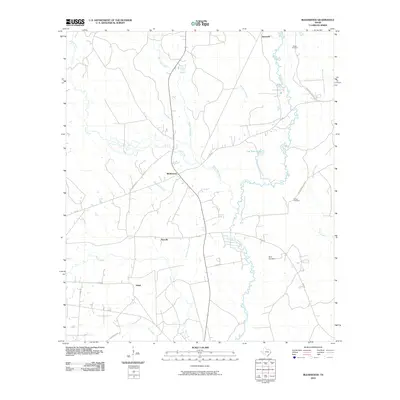 2010 Bleakwood2010 Print · USGSSoutheast Texas at the start of the 2010s remains a landscape of quiet rural junctions and winding creek bottoms. Genealogists can locate family names and burial sites at Odom Cemetery, Wilson Cemetery, and Biloxi Cemetery near the settlement of Bleakwood.
 - 2010 Map of Magnolia Springs, 2010 Print
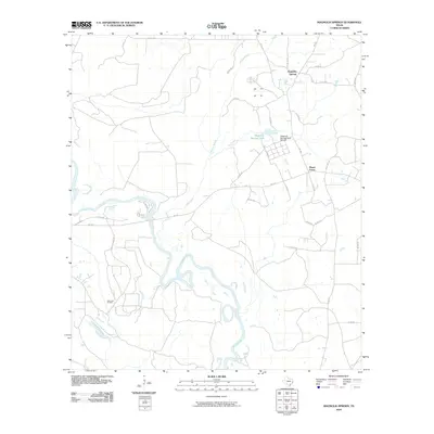 2010 Magnolia Springs2010 Print · USGSThe Piney Woods of Jasper County come into focus in the early 2010s, showing a landscape defined by forestry and oil. Researchers can locate the Magnolia Springs State Nursery and the Joes Lake Oil Field near the winding oxbows of the Neches River.
 - 2010 Map of Gist, 2010 Print
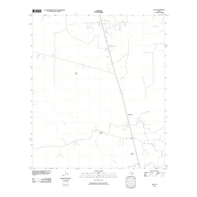 2010 Gist2010 Print · USGSSoutheast Texas prairies and coastal bayous are documented here in the early two-thousands. Genealogists and local historians can trace rural family-named locations such as Gist and Robertson alongside landmarks like High Prairie.
 - 2010 Map of Evadale, 2010 Print
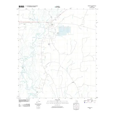 2010 Evadale2010 Print · USGSThe riverine environment of Jasper County comes into focus in this early 21st-century record of the Neches basin. Researchers can locate the Craig Cemetery, trace the settlement at Evadale, and explore the complex waterways of Big Mac Lake and Wiess Bluff.
 - 2010 Map of Pine Forest, 2010 Print
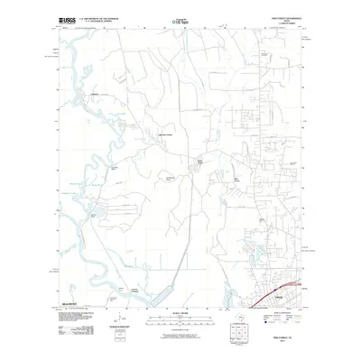 2010 Pine Forest2010 Print · USGSThe riverfront and timberlands north of Beaumont and Vidor are shown here in the early twenty-first century as suburban growth meets historical river crossings. Researchers can locate family landmarks such as Williamson Cemetery and trace old routes at Colliers Ferry and Lawson Crossing.
 - 2010 Map of Town Bluff, 2010 Print
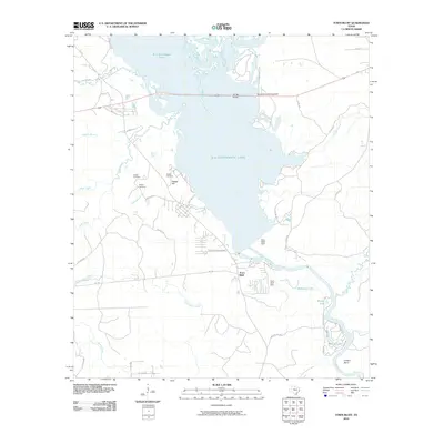 2010 Town Bluff2010 Print · USGSTexas river life and reservoir management come together here in the early twenty-first century as the Neches River flows through the Town Bluff Dam. Genealogists and local historians can locate Supps Cemetery and Pedigo Cemetery near the shores of B A Steinhagen Lake.
 - 2010 Map of Spurger, 2010 Print
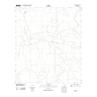 2010 Spurger2010 Print · USGSSpurger and its surrounding Tyler County woodlands are captured here at the start of the 2010s. Researchers can trace rural property layouts near Oldham, locate the Spurger Lookout, and follow the winding banks of the Neches River.
 - 2010 Map of Franklin Lake, 2010 Print
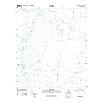 2010 Franklin Lake2010 Print · USGSThe Neches River bottomlands in Southeast Texas are shown here in detail during the early 21st century. Researchers can trace river landings and old routes like Gore Landing, Old Tram Rd, and the uniquely named Cocklebur Bend.
 - 2010 Map of Texla, 2010 Print
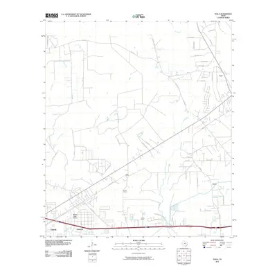 2010 Texla2010 Print · USGSSoutheast Texas in the early 2000s shows a landscape of growing residential neighborhoods and quiet rural communities along the bayous. Genealogists and local historians can trace burial sites like Singleton Cemetery or explore the developments of Lakewood and Texla.
Showing maps 1-25 of 141
Top cities of Jasper County
Frequently asked questions
- What are the different types of historical maps available for Jasper County?
- What is the oldest map of Jasper County?
- Where can I purchase historical maps of Jasper County for my home or office?
- Where can I download high-res historical maps of Jasper County?
- Are there historical topographic maps available for Jasper County?
- Is there historical aerial imagery available for Jasper County?
- Where are historical maps of Jasper County sourced from?