2000s (21st Century) Maps of Port Arthur, Texas
Explore 15 historic maps of Port Arthur from the 2000s (21st Century). These maps offer a rare glimpse into what life looked like during the 2000s — showing old roads, neighborhoods, homes, and landmarks that have changed or disappeared over time.
Whether you're researching your family's past, planning a metal detecting trip, or studying how Port Arthur's landscape evolved across the 2000s, these high-resolution maps are a powerful tool for exploring the history of this region.
- Focus on a specific era: All maps on this page are from the 2000s, giving you a focused view of this time period.
- See what’s changed: Compare century-old streets, trails, and buildings to today's modern landscape using overlays and satellite layers.
- Research with precision: Use these maps for genealogy, historical research, land use analysis, or educational projects.
- View, download, or print: Maps are fully viewable online in high resolution, and can be downloaded or printed for your own records.
Start exploring Port Arthur's history through authentic maps from the 2000s. This is your window into the past.
Port Arthur, TX maps
(15)- 2010 Map of West of Johnson Bayou, 2010 Print
 2010 West of Johnson Bayou2010 Print · USGSCovers Port Arthur, including Jefferson County, Cameron Parish, and other nearby areas
 - 2012 Map of West of Johnson Bayou, 2012 Print
 2012 West of Johnson Bayou2012 Print · USGSCovers Port Arthur, including Jefferson County, Cameron Parish, and other nearby areas
 - 2015 Map of West of Johnson Bayou, 2015 Print
 2015 West of Johnson Bayou2015 Print · USGSCovers Port Arthur, including Jefferson County, Cameron Parish, and other nearby areas
 - 2018 Map of West of Johnson Bayou, 2018 Print
 2018 West of Johnson Bayou2018 Print · USGSCovers Port Arthur, including Jefferson County, Cameron Parish, and other nearby areas
 - 2020 Map of West of Johnson Bayou, 2020 Print
 2020 West of Johnson Bayou2020 Print · USGSCovers Port Arthur, including Jefferson County, Cameron Parish, and other nearby areas
 - 2022 Map of Orangefield, 2022 Print
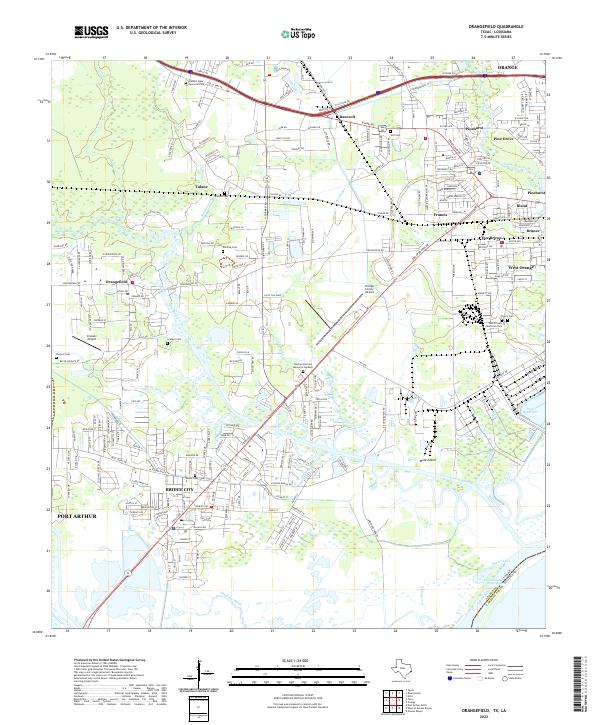 2022 Orangefield2022 Print · USGSCoastal Texas near the Louisiana border comes into focus in this recent survey of the intricate waterways between Orange and Port Arthur. Researchers can trace family history at Dorman Cem or explore the geography of Cow Bayou, Mule Island, and the Dunes Bluff.
 - 2022 Map of Terry, 2022 Print
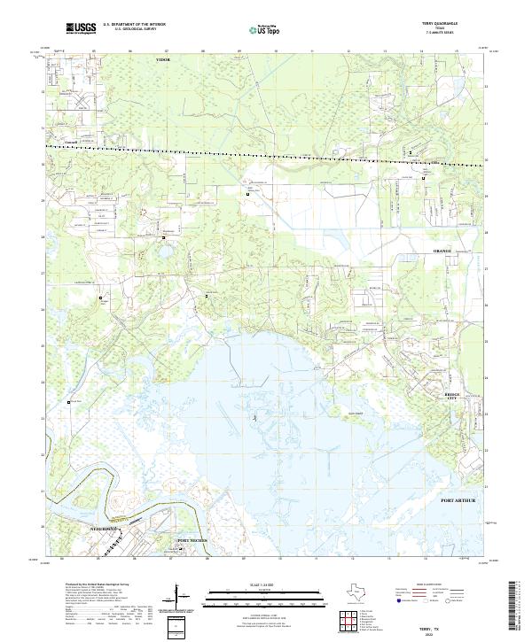 2022 Terry2022 Print · USGSCoastal Texas marshlands and growing bayou communities are captured here in the early twenty-first century. Genealogists and local historians can trace family-named sites like Kishi Colony Cem and Granger Cem along the banks of Cow Bayou.
 - 2022 Map of West of Greens Bayou, 2022 Print
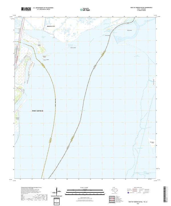 2022 West of Greens Bayou2022 Print · USGSCoastal wetlands and industrial waterways define the Texas-Louisiana border just south of the Sabine-Neches junction. Map collectors can trace the shipping lanes of the Intracoastal Waterway and explore family-named landmarks like Marceaux Island and Sydnes Island.
 - 2022 Map of Port Arthur South, 2022 Print
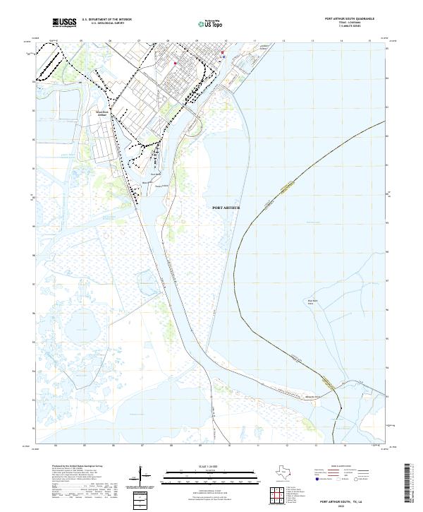 2022 Port Arthur South2022 Print · USGSPort Arthur and the Gulf Coast industrial corridors are shown at the Texas-Louisiana border. Researchers can trace shipping infrastructure like Texaco Island or identify landmarks near Sabine Pass and Pleasure Island.
 - 2022 Map of Port Arthur North, 2022 Print
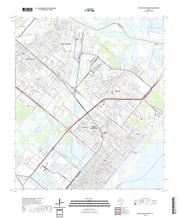 2022 Port Arthur North2022 Print · USGSThe industrial heart of the Texas Gulf Coast comes into focus in this recent survey of the Neches River corridor. Researchers can trace the residential evolution of Port Neches and Groves or locate local landmarks like Calvary Cem and Lamar State College Port Arthur.
 - 2022 Map of Big Hill Bayou, 2022 Print
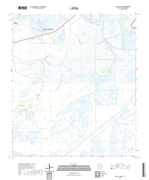 2022 Big Hill Bayou2022 Print · USGSJefferson County’s coastal marshes come into focus in this contemporary survey of the wetlands south of Port Arthur. Trace the convergence of natural and engineered waterways like Big Hill Bayou, the Intracoastal Waterway, and the curiously named Need More Rd.
 - 2022 Map of Port Acres, 2022 Print
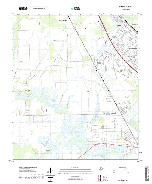 2022 Port Acres2022 Print · USGSCoastal Jefferson County in the early 2020s shows a landscape of industrial hubs and marshland communities south of Beaumont. Trace local landmarks like the Jack Brooks Regional Airport, the Port Arthur Canal, and the Memory Gardens of Jefferson County Cem.
 - 2024 Map of West of Johnson Bayou, 2024 Print
 2024 West of Johnson Bayou2024 Print · USGSLouisiana's southwestern marshlands are captured in this modern survey of the coastal chenier plain near the Texas border. Researchers can trace the unique topography of ancient beach ridges like Blue Buck Ridge and Garrison Ridge, alongside waterways like Madame Johnson Bayou.
 - 2025 Map of Sabine Pass, 2025 Print
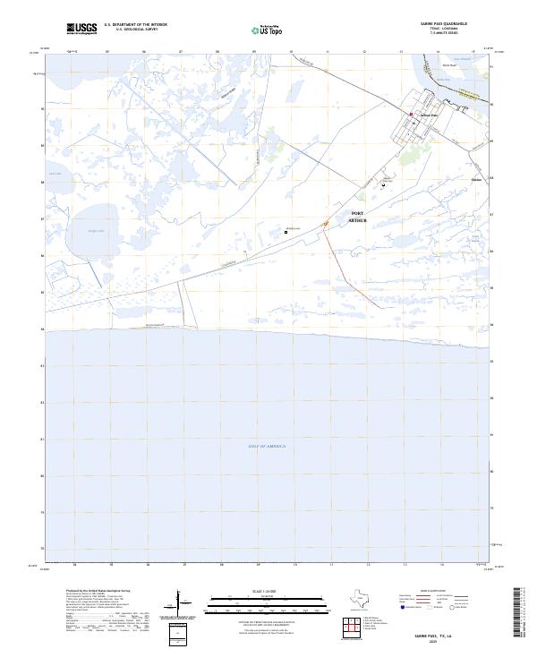 2025 Sabine Pass2025 Print · USGSThe Gulf coast at the Texas-Louisiana border comes into focus in this contemporary survey of the Sabine Pass region. Researchers can trace family history at Sabine Pass Cemetery or locate old neighborhood plots near Tremont St and Wildcat Ridge.
 - 2025 Map of Texas Point, 2025 Print
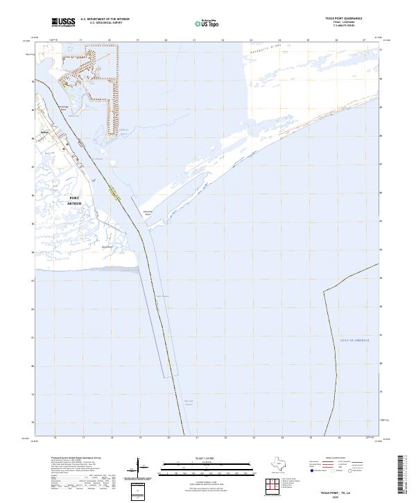 2025 Texas Point2025 Print · USGSThe maritime boundary of Texas and Louisiana is charted here in the early twenty-first century as it meets the sea. Coastal researchers can trace the deep-water Jetty Channel past Sabine and the tidal reaches of Lighthouse Bayou and Texas Point.
End of results
Showing maps 1-15 of 15
Top cities near Port Arthur
- Beaumont historical maps
- Orange historical maps
- Nederland historical maps
- Groves historical maps
- Port Neches historical maps
- Bridge City historical maps
See more
Top neighborhoods of Port Arthur
- Sabine historical maps
- Griffing Park historical maps
- Sabine Pass historical maps
- Lakeview historical maps
- Pear Ridge historical maps
- Port Acres historical maps
Frequently asked questions
- What are the different types of historical maps available for Port Arthur?
- What is the oldest map of Port Arthur?
- Where can I purchase historical maps of Port Arthur for my home or office?
- Where can I download high-res historical maps of Port Arthur?
- Are there historical topographic maps available for Port Arthur?
- Is there historical aerial imagery available for Port Arthur?
- Where are historical maps of Port Arthur sourced from?