Old Maps of Guerra, Texas for Genealogy
Trace your family roots with 14 historic maps of Guerra. These high-res maps reveal old neighborhoods, homesites, landmarks, and streets — helping you uncover where your ancestors lived and how the area evolved over time.
- Explore historic neighborhoods: Identify where your relatives may have lived in the 1800s or 1900s.
- Compare maps over time: Trace the changes in streets, buildings, and landmarks for multi-generational research.
- Perfect for genealogy & ancestry research: Used by family historians and researchers to map out lineage and migration.
These maps are an incredible resource for exploring your personal connection to Guerra's past.
Guerra, TX maps
(14)- 1938 Map of Cuevitas, 1959 Print
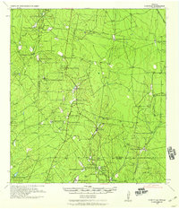 1938 Cuevitas1959 Print · USGSSouth Texas ranching and the nascent oil industry define this borderlands region in the late nineteen-thirties. Researchers can trace ancestral family lands through dozens of named sites like San Antonio Viejo Ranch, Cuevitas, and the Sun Oil Co Camp.
 - 1949 Map of Mc Allen, 1954 Print
 1949 Mc Allen1954 Print · USGSThe Rio Grande Valley at mid-century reveals a bustling international corridor of citrus groves, rail lines, and growing border towns. Genealogists and historians can trace the Missouri Pacific RR through McAllen or locate rural landmarks like the Santa Fe School and Arkansas City.
 - 1954 Map of McAllen
 1954 McAllen1954 Print · USGSCovers Guerra, including Reynosa, McAllen, and other nearby areas
 - 1957 Map of Mc Allen, 1962 Print
 1957 Mc Allen1962 Print · USGSThe South Texas borderlands emerge in the late fifties as a hub of energy production and military activity. Researchers can trace the river economy through Rio Grande City, find the Brewster School, and locate the Moore Air Force Base.2 unique versions available
 - 1962 Map of McAllen
 1962 McAllen1962 Print · USGSThe Lower Rio Grande Valley in the mid-twentieth century shows a complex landscape of irrigation, oil production, and border commerce. Genealogists and historians can trace family roots through riverside towns like Zapata, Roma-Los Saenz, and Hidalgo, or locate landmarks like Santa Elena Ch and Moore Air Force Base.
 - 1972 Map of Guerra, 1975 Print
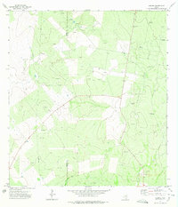 1972 Guerra1975 Print · USGSGuerra and the surrounding South Texas ranch lands are captured here during the early seventies as the energy industry expanded. Genealogists and researchers can locate the Cem near town and trace water sources like Palomas Windmill and Alto Windmill.2 unique versions available
 - 1983 Map of Mc Allen, 1984 Print
 1983 Mc Allen1984 Print · USGSThe Lower Rio Grande Valley is captured here during the early 1980s, showcasing the intense cross-border connectivity and agricultural expansion of the era. Researchers can trace the sprawling irrigation networks around Mc Allen and Mission, or locate landmarks like the Zapata Aircraft Control and Warning Station and Falcon State Park.
 - 1985 Map of Encino
 1985 Encino1985 Print · USGSThe ranching and oil country of South Texas comes to life in the mid-1980s as the energy industry expanded across Starr and Brooks Counties. Family historians can trace ancestral lands near San Antonio Viejo, old rail stops like Encino, and the sprawling Alta Mesa Oil Field.
 - 1992 Map of Encino
 1992 Encino1992 Print · USGSThe South Texas brush country comes into focus in the early nineties, showing a landscape defined by ranching heritage and the energy industry. Genealogists and historians can trace family-named sites like San Antonio Viejo, Agua Nueva, and the rail stop at Linn Siding.
 - 2010 Map of Guerra, 2010 Print
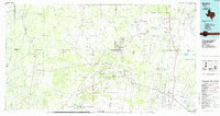
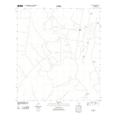 2010 Guerra2010 Print · USGSCovers Guerra, including Zapata County, Jim Hogg County, and other nearby areas
 - 2012 Map of Guerra, 2012 Print
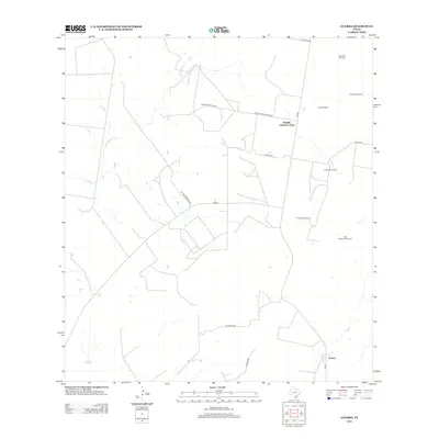 2012 Guerra2012 Print · USGSCovers Guerra, including Zapata County, Jim Hogg County, and other nearby areas
 - 2016 Map of Guerra, 2016 Print
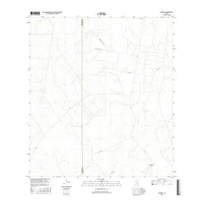 2016 Guerra2016 Print · USGSCovers Guerra, including Zapata County, Jim Hogg County, and other nearby areas
 - 2019 Map of Guerra, 2019 Print
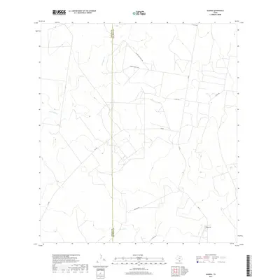 2019 Guerra2019 Print · USGSCovers Guerra, including Zapata County, Jim Hogg County, and other nearby areas
 - 2022 Map of Guerra, 2022 Print
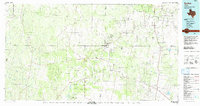
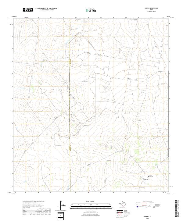 2022 Guerra2022 Print · USGSThe ranchlands of Jim Hogg and Zapata counties remain centered on the small community of Guerra in this recent survey. Researchers can trace family-named routes like Orlando Ramirez Rd and locate the local Guerra Texas Cem.
End of results
Showing maps 1-14 of 14
Frequently asked questions
- What are the different types of historical maps available for Guerra?
- What is the oldest map of Guerra?
- Where can I purchase historical maps of Guerra for my home or office?
- Where can I download high-res historical maps of Guerra?
- Are there historical topographic maps available for Guerra?
- Is there historical aerial imagery available for Guerra?
- Where are historical maps of Guerra sourced from?