Old Maps of Burleson, Texas for Hiking & Exploration
Hike through history with 37 historic maps of Burleson. Explore old trails, ghost towns, and forgotten backroads — perfect for outdoor adventurers and local explorers.
- Rediscover forgotten places: Map out old mining camps, roads, and footpaths that no longer exist on modern maps.
- Layer with modern tools: Combine with LiDAR or satellite views to plan hikes through historical terrain.
- Made for exploration: Popular among hikers, overlanders, and local history lovers.
Use these maps to find adventure and explore the hidden past of Burleson.
Burleson, TX maps
(37)- 1891 Map of Cleburne
 1891 Cleburne1891 Print · USGSNorth Texas in the late nineteenth century was a land transformed by new iron rails and established river crossings. Genealogists and researchers can trace the early footprints of Cleburne and Hillsboro alongside vanished stops like Port Graham and Files Valley.
 - 1894 Map of Cleburne
 1894 Cleburne1894 Print · USGSNorth Central Texas was a burgeoning rail and cattle hub in the late nineteenth century. Genealogists and historians can trace the growth of Cleburne and Hillsboro alongside vanished river landings like Fort Graham and Kimball on the Brazos River.5 unique versions available
 - 1894 Map of Fort Worth, 1918 Print
 1894 Fort Worth1918 Print · USGSNorth Texas at the end of the nineteenth century centers on a burgeoning Fort Worth and its strategic rail junctions. Researchers can locate early township sites like Johnson Station and Birdville or trace the military footprint of Camp Bowie.3 unique versions available
 - 1954 Map of Dallas, 1963 Print
 1954 Dallas1963 Print · USGSNorth Texas in the mid-fifties and early sixties reveals a landscape of rapid urban growth and water management. Genealogists and historians can trace the evolution of the metroplex through landmarks like Hensley Field, Boles Orphan Home, and the Texas & Pacific RR.4 unique versions available
 - 1955 Map of Burleson, 1956 Print
 1955 Burleson1956 Print · USGSJohnson County is caught in a moment of post-war transition in the mid-fifties, where expanding settlements like Burleson and Crowley meet a landscape of rural cemeteries and research farms. Researchers can trace ancestral locations through the Prairie Springs Cem, Redchain Research Farm, and the rail corridors of the Missouri Pacific.4 unique versions available
 - 1955 Map of Primrose, 1956 Print
 1955 Primrose1956 Print · USGSThe ranchlands of Tarrant and Johnson Counties are captured here in the mid-fifties, just as the landscape was being reshaped by the waters of Benbrook Lake. Researchers can trace the Gulf Colorado and Santa Fe rail line and locate rural landmarks like Primrose and a local Cem.2 unique versions available
 - 1958 Map of Dallas
 1958 Dallas1958 Print · USGSNorth Texas in the late fifties shows the dramatic expansion of the Metroplex as it absorbs surrounding farm towns. Genealogists and historians can trace old rail lines like the Missouri-Kansas-Texas and locate early lakefront developments at Eagle Mountain Lake and Lake Worth Village.
 - 1960 Map of Keene, 1963 Print
 1960 Keene1963 Print · USGSJohnson County is shown here during a period of steady growth centered on the town of Keene and its local college. Genealogists and historians can trace the foundations of the community through rural landmarks like Lane Prairie Ch, Hopewell Cem, and the path of the Missouri Kansas and Texas railroad.3 unique versions available
 - 1961 Map of Alvarado, 1963 Print
 1961 Alvarado1963 Print · USGSAlvarado and the surrounding Johnson County prairies appear at the height of the railroad era in the early 1960s. Genealogists can trace family footprints at Glenwood Cemetery or the Duke Cem, and locate landmarks like the Geo Washington Carver school.3 unique versions available
 - 1961 Map of Joshua, 1963 Print
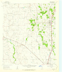 1961 Joshua1963 Print · USGSJohnson County is shown here in the early sixties as the communities of Joshua and Cleburne expanded along the rail lines. Researchers can locate family landmarks like Old Bethany Cem, the Buchanan Cem, and the distinctive height of Caddo Peak.3 unique versions available
 - 1985 Map of Fort Worth
 1985 Fort Worth1985 Print · USGSMid-1980s Tarrant County and Parker County emerge from a transition between urban sprawl and rural cattle country. Researchers can trace the expansion of Fort Worth and Arlington alongside older landmarks like Nebo Mtn and Kikapoo Falls.2 unique versions available
 - 1985 Map of Cleburne
 1985 Cleburne1985 Print · USGSThe Brazos River valley and its major mid-century reservoirs dominate this North Central Texas landscape during the 1980s. Local researchers can trace family roots through sites like Mt Carmel Ch, Oak Hill Sch, and the unique river bends near Glen Rose.2 unique versions available
 - 2010 Map of Joshua, 2010 Print
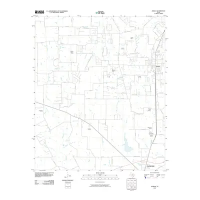 2010 Joshua2010 Print · USGSJohnson County is shown during a period of transition as aviation and suburban growth meet traditional prairie life. Genealogists and local historians can trace family sites at Old Bethany Cemetery, Caddo Peak, and Buchanan Cemetery.
 - 2010 Map of Alvarado, 2010 Print
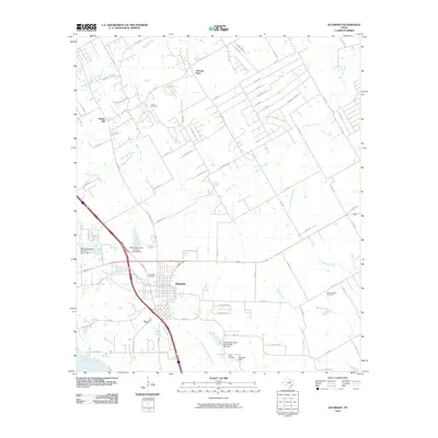 2010 Alvarado2010 Print · USGSAlvarado and its surrounding Johnson County ranchlands are captured here in the early twenty-first century. Genealogists and local historians can locate several family-named burial sites including Cahill and Duke Cemetery, or trace the banks of Lake Alvarado.
 - 2010 Map of Keene, 2010 Print
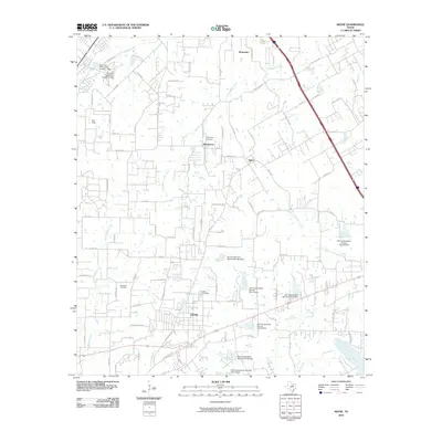 2010 Keene2010 Print · USGSJohnson County was experiencing steady growth during this period as suburban expansion began to overlay its agricultural roots. Researchers can trace family history at Hopewell Cemetery or locate early rural centers like Marystown and Egan.
 - 2010 Map of Primrose, 2010 Print
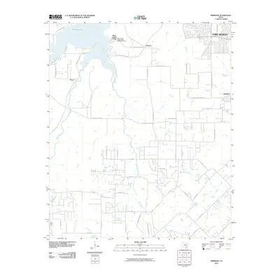 2010 Primrose2010 Print · USGSSouth of the Dallas-Fort Worth metroplex during the early twenty-first century, this area shows the meeting of lakeside communities and rural prairie. Genealogists and historians can trace the local road network through Plover and Primrose or locate the Old Cleburne Crowley Junction.
 - 2010 Map of Burleson, 2010 Print
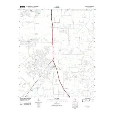 2010 Burleson2010 Print · USGSSuburban development and aviation history converge south of Fort Worth in the late 2000s. Researchers can trace family sites at Crowley Cemetery and Prairie Springs Cemetery or locate historic landmarks like Turkey Peak and Luck Field.
 - 2012 Map of Primrose, 2012 Print
 2012 Primrose2012 Print · USGSSouth of Fort Worth in the early 2010s, this area shows the suburban growth reaching the shores of Benbrook Lake. Researchers can trace local developments like Saint Francis Village or follow the paths of Mustang Creek and Rock Creek through Primrose.
 - 2012 Map of Burleson, 2012 Print
 2012 Burleson2012 Print · USGSSuburban expansion meets traditional Texas ranch land south of Fort Worth in the early 2000s. Researchers can trace local lineage at the Crowley Cem or explore the aviation footprint at the Fort Worth Spinks Airport and Rafter J Airport.
 - 2012 Map of Keene, 2012 Print
 2012 Keene2012 Print · USGSJohnson County is shown here in the early twenty-first century, centered on the campus of Southwestern Adventist Univ and the town of Keene. Researchers can trace local burial grounds like Marystown Cem or follow the paths of Quil Miller Cr and N Fork Chambers Cr.
 - 2012 Map of Joshua, 2012 Print
 2012 Joshua2012 Print · USGSJoshua and the surrounding Johnson County prairie are captured here during a period of residential growth and local aviation activity. Researchers can locate family roots at Caddo Cem or Lightfoot Cem and trace the paths of McAnear Cr and the Nolan River.
 - 2012 Map of Alvarado, 2012 Print
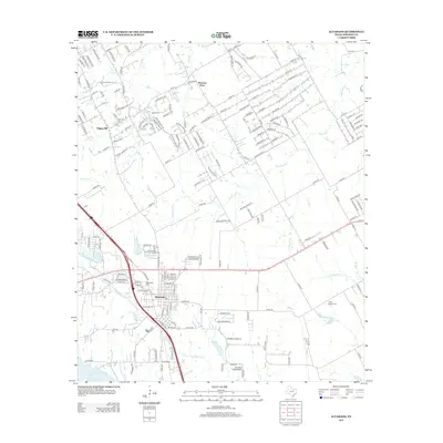 2012 Alvarado2012 Print · USGSAlvarado and the surrounding Johnson County prairies are captured in this 2012 survey during a period of steady residential expansion. Researchers can trace family history at Glenwood Cem and Center League Cem, or locate landmarks like Goodlett Field Airport.
 - 2016 Map of Burleson, 2016 Print
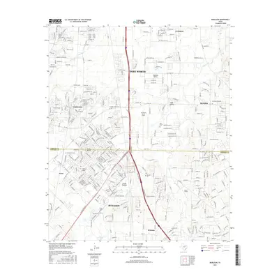 2016 Burleson2016 Print · USGSThe Tarrant and Johnson county border comes into focus during this mid-2010s survey of the rapidly growing suburban corridor south of Fort Worth. Researchers can locate several family burial grounds including Crowley Cem and Prairie Springs Cem, alongside landmarks like Brushy Mound and Fort Worth Spinks Airport.
 - 2016 Map of Keene, 2016 Print
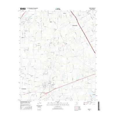 2016 Keene2016 Print · USGSJohnson County is shown in a period of transition as its agricultural roots meet modern expansion. Researchers can trace historic local landmarks like the Southwestern Adventist University and Marystown Cemetery alongside natural features like Quil Miller Creek.
 - 2016 Map of Alvarado, 2016 Print
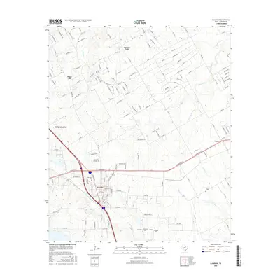 2016 Alvarado2016 Print · USGSAlvarado and the surrounding Johnson County prairies are captured here in a period of modern connectivity and growth. Genealogists and local historians can locate several burial sites, including Cahill Cem and Center League Cem, alongside landmarks like Goodlett Field.
Showing maps 1-25 of 37
Top cities near Burleson
- Fort Worth historical maps
- Arlington historical maps
- Mansfield historical maps
- Cleburne historical maps
- Benbrook historical maps
- Crowley historical maps
See more
Top neighborhoods of Burleson
Frequently asked questions
- What are the different types of historical maps available for Burleson?
- What is the oldest map of Burleson?
- Where can I purchase historical maps of Burleson for my home or office?
- Where can I download high-res historical maps of Burleson?
- Are there historical topographic maps available for Burleson?
- Is there historical aerial imagery available for Burleson?
- Where are historical maps of Burleson sourced from?