Old Maps of Hawley, Texas for Academic Research
Study the evolution of Hawley with 12 high-resolution historic maps. Whether you're teaching, researching, or modeling changes in land use, these maps provide essential visual documentation of urban, environmental, and geographic change.
- Analyze long-term change: Track patterns in development, transportation, and natural features.
- Ideal for environmental or urban studies: Support academic projects with primary historical map data.
- Use in the classroom or lab: Educators and researchers rely on these maps to bring historical context to life.
These maps are a powerful tool for teaching, research, and visualizing how Hawley has changed over the decades.
Hawley, TX maps
(12)- 1891 Map of Anson
 1891 Anson1891 Print · USGSJones County was still a frontier of small settlements and river crossings in the early 1890s. Genealogists and researchers can trace the early footprints of Anson alongside forgotten locales like Sandersville, Phantom Hill, and Rising Sun.
 - 1893 Map of Anson
 1893 Anson1893 Print · USGSCentral West Texas in the early 1890s shows a landscape of cattle ranches and early outposts. Genealogists can locate family-named settlements like Sandersville and Newsom or trace the early community at Phantom Hill.5 unique versions available
 - 1954 Map of Abilene, 1966 Print
 1954 Abilene1966 Print · USGSThe Texas Big Country comes into focus in the mid-1950s as petroleum and new water projects reshape the landscape. Local historians can trace the Butterfield Trail, find the Fort Phantom Hill Ruins, and locate numerous small communities along the Texas & Pacific line.2 unique versions available
 - 1957 Map of Hawley, 1958 Print
 1957 Hawley1958 Print · USGSJones and Taylor Counties are captured in the late fifties during a period of significant petroleum expansion and rural settlement. Genealogists and historians can trace family roots at Hawley, Anson, and the Cosden Refinery, or locate old landmarks like the Hodges Sch.
 - 1957 Map of Hawley, 1958 Print
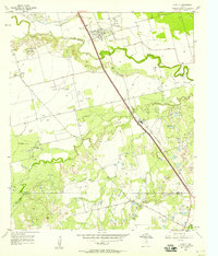 1957 Hawley1958 Print · USGSWest Texas ranching and petroleum interests converge in the late 1950s along the winding Clear Fork Brazos River. Researchers can trace the mid-century industrial footprint of the Cosden Refinery and the Hawley Oil Field alongside the Old Anson Road.4 unique versions available
 - 1958 Map of Abilene
 1958 Abilene1958 Print · USGSMid-century West Texas comes alive in this survey of the Abilene and Stephenville region during a period of steady oil expansion and military growth. Genealogists and local historians can trace the paths of the Texas & Pacific RR through historic towns, locate the Fort Griffin Ruins, and find smaller settlements like Desdemona and Lueders.
 - 1985 Map of Stamford, 1992 Print
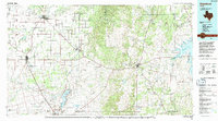 1985 Stamford1992 Print · USGSMid-century West Texas comes alive in this survey of the Brazos River country, showing a landscape defined by oil production and rail transport. Researchers can locate family landmarks like the Avoca Sch, New Hope Ch, and the frontier history at Fort Griffin State Park.
 - 2010 Map of Hawley, 2010 Print
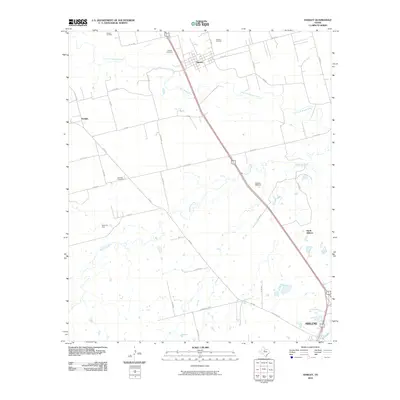 2010 Hawley2010 Print · USGSTaylor County at the start of the decade shows a landscape where industrial energy production meets rural ranching north of the city. Genealogists and historians can locate family landmarks such as Hawley Cemetery, Mid Way Cemetery, and the Cosden Refinery.
 - 2012 Map of Hawley, 2012 Print
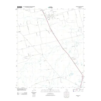 2012 Hawley2012 Print · USGSHawley and the northern reaches of Abilene appear here in the early 2010s, showing a landscape defined by ranching and the petroleum industry. Researchers can locate family landmarks like Hawley Cem and Mid Way Cem or trace industrial sites like Cosden Refinery.
 - 2016 Map of Hawley, 2016 Print
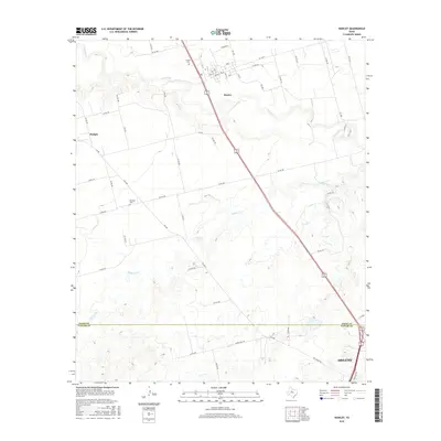 2016 Hawley2016 Print · USGSThe Jones and Taylor County borderlands in the 2010s show a landscape of rural crossroads and river bends north of the city. Genealogists and local historians can trace family locations near Hawley Cem, Mid Way Cem, and along the winding Clear Fork.
 - 2019 Map of Hawley, 2019 Print
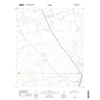 2019 Hawley2019 Print · USGSThe rural landscape north of Abilene is captured here in the late 2010s as it spans the Jones and Taylor County line. Researchers can trace local burial sites like Hawley Cem and Mid Way Cem or follow the waters of the Clear Fork Brazos River.
 - 2022 Map of Hawley, 2022 Print
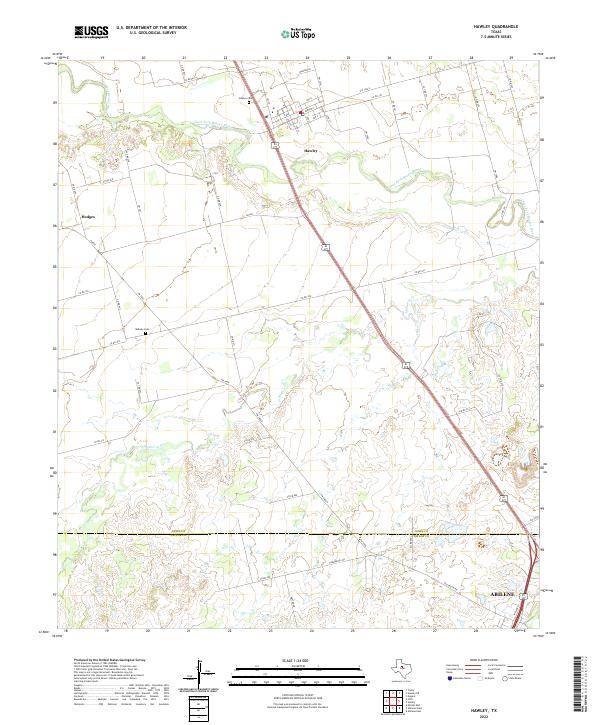 2022 Hawley2022 Print · USGSJones and Taylor counties are captured in the early 2020s, showing the rural transitions between Hawley and the outskirts of Abilene. Genealogists can trace local burials at Hawley Cem and Midway Cem along the Clear Fork Brazos River.
End of results
Showing maps 1-12 of 12
Top cities near Hawley
- Abilene historical maps
- Merkel historical maps
- Anson historical maps
- Tye historical maps
- Lueders historical maps
- Impact historical maps
Frequently asked questions
- What are the different types of historical maps available for Hawley?
- What is the oldest map of Hawley?
- Where can I purchase historical maps of Hawley for my home or office?
- Where can I download high-res historical maps of Hawley?
- Are there historical topographic maps available for Hawley?
- Is there historical aerial imagery available for Hawley?
- Where are historical maps of Hawley sourced from?