2000s (21st Century) Maps of Terrell, Texas
Explore 20 historic maps of Terrell from the 2000s (21st Century). These maps offer a rare glimpse into what life looked like during the 2000s — showing old roads, neighborhoods, homes, and landmarks that have changed or disappeared over time.
Whether you're researching your family's past, planning a metal detecting trip, or studying how Terrell's landscape evolved across the 2000s, these high-resolution maps are a powerful tool for exploring the history of this region.
- Focus on a specific era: All maps on this page are from the 2000s, giving you a focused view of this time period.
- See what’s changed: Compare century-old streets, trails, and buildings to today's modern landscape using overlays and satellite layers.
- Research with precision: Use these maps for genealogy, historical research, land use analysis, or educational projects.
- View, download, or print: Maps are fully viewable online in high resolution, and can be downloaded or printed for your own records.
Start exploring Terrell's history through authentic maps from the 2000s. This is your window into the past.
Terrell, TX maps
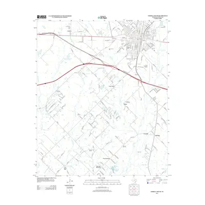
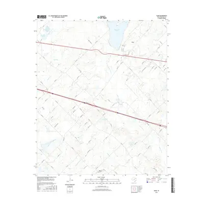
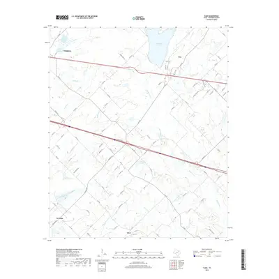
(20)- 2010 Map of Elmo, 2010 Print
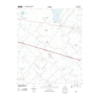 2010 Elmo2010 Print · USGSCovers Terrell, including Oak Ridge, Frog, and other nearby areas
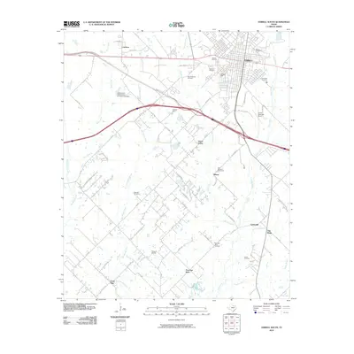
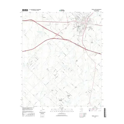
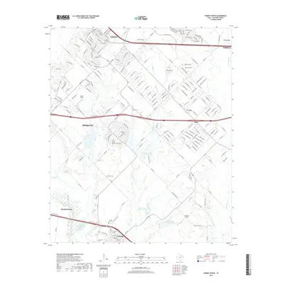
 - 2010 Map of Terrell North, 2010 Print
 2010 Terrell North2010 Print · USGSCovers Terrell, including Rockwall, McLendon-Chisholm, and other nearby areas
 - 2010 Map of Terrell South, 2010 Print
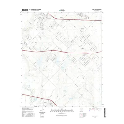
 2010 Terrell South2010 Print · USGSCovers Terrell, including Oak Ridge, Post Oak Bend City, and other nearby areas
 - 2010 Map of Forney South, 2010 Print
 2010 Forney South2010 Print · USGSCovers Terrell, including Mesquite, Forney, and other nearby areas
 - 2012 Map of Terrell South, 2012 Print
 2012 Terrell South2012 Print · USGSCovers Terrell, including Oak Ridge, Post Oak Bend City, and other nearby areas
 - 2012 Map of Terrell North, 2012 Print
 2012 Terrell North2012 Print · USGSCovers Terrell, including Rockwall, McLendon-Chisholm, and other nearby areas
 - 2012 Map of Forney South, 2012 Print
 2012 Forney South2012 Print · USGSCovers Terrell, including Mesquite, Forney, and other nearby areas
 - 2012 Map of Elmo, 2012 Print
 2012 Elmo2012 Print · USGSCovers Terrell, including Oak Ridge, Frog, and other nearby areas
 - 2016 Map of Terrell South, 2016 Print
 2016 Terrell South2016 Print · USGSCovers Terrell, including Oak Ridge, Post Oak Bend City, and other nearby areas
 - 2016 Map of Elmo, 2016 Print
 2016 Elmo2016 Print · USGSCovers Terrell, including Oak Ridge, Frog, and other nearby areas
 - 2016 Map of Forney South, 2016 Print
 2016 Forney South2016 Print · USGSCovers Terrell, including Mesquite, Forney, and other nearby areas
 - 2016 Map of Terrell North, 2016 Print
 2016 Terrell North2016 Print · USGSCovers Terrell, including Rockwall, McLendon-Chisholm, and other nearby areas
 - 2019 Map of Elmo, 2019 Print
 2019 Elmo2019 Print · USGSCovers Terrell, including Oak Ridge, Frog, and other nearby areas
 - 2019 Map of Terrell North, 2019 Print
 2019 Terrell North2019 Print · USGSCovers Terrell, including Rockwall, McLendon-Chisholm, and other nearby areas
 - 2019 Map of Terrell South, 2019 Print
 2019 Terrell South2019 Print · USGSCovers Terrell, including Oak Ridge, Post Oak Bend City, and other nearby areas
 - 2019 Map of Forney South, 2019 Print
 2019 Forney South2019 Print · USGSCovers Terrell, including Mesquite, Forney, and other nearby areas
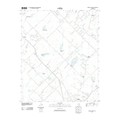
 - 2022 Map of Elmo, 2022 Print
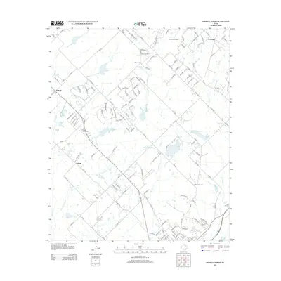
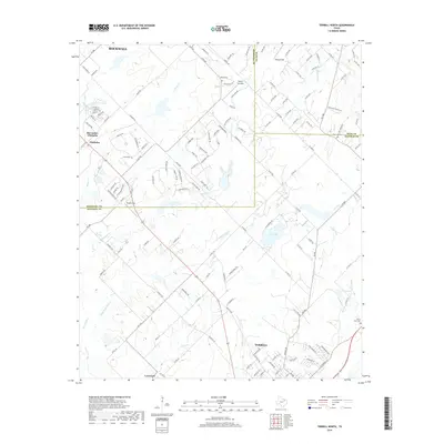
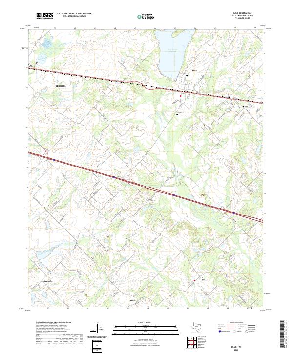 2022 Elmo2022 Print · USGSKaufman County's rural landscape comes alive in this contemporary survey of the area surrounding Terrell and Elmo. Researchers can locate ancestral landmarks like Fairview Cem, College Mound Cem, and the waters of Tonkersley Lake.
 - 2022 Map of Terrell North, 2022 Print
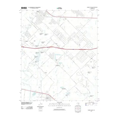
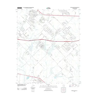
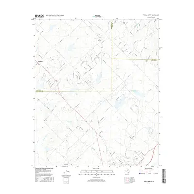
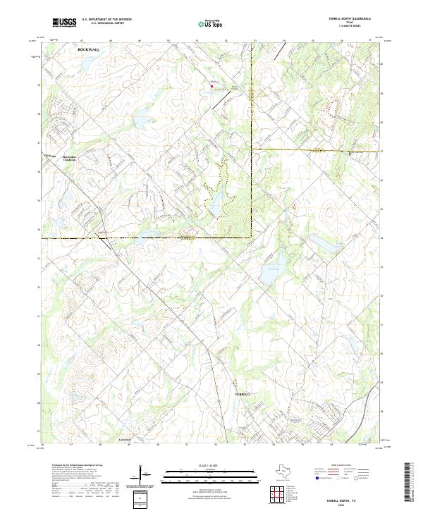 2022 Terrell North2022 Print · USGSNorth of Terrell in the 2020s, this area shows the meeting of three counties and the steady growth of communities like McLendon-Chisholm. Trace the local landscape through features like Dry Creek Cem, Club Lake, and the many branches of High Point Creek.
 - 2022 Map of Terrell South, 2022 Print
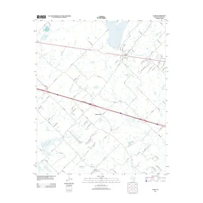
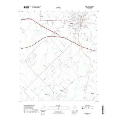
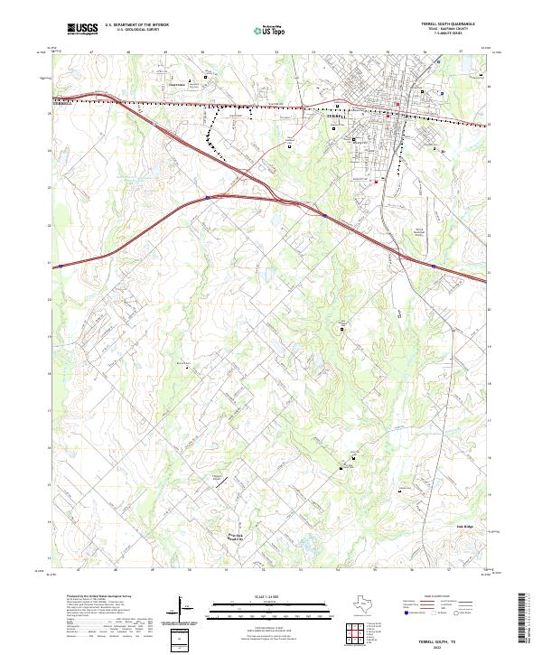 2022 Terrell South2022 Print · USGSThe southern portion of Terrell and its surrounding rural prairie are shown here in the early 2020s. Genealogists and historians can trace numerous family sites at Oakwood Cem, Rose Hill Cem, and the historic Terrell Pioneer Cem.
 - 2022 Map of Forney South, 2022 Print
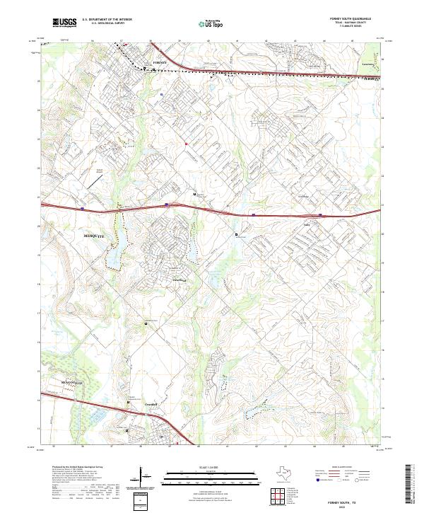 2022 Forney South2022 Print · USGSKaufman County in the 2020s reveals a mix of rapid suburban expansion and preserved rural heritage. Genealogists can locate several historic burial sites like Lone Elm - Shipley Cem and Crandall Community Cem near the banks of Mustang Creek.
End of results
Showing maps 1-20 of 20
Top cities near Terrell
- Dallas historical maps
- Garland historical maps
- Mesquite historical maps
- Rowlett historical maps
- Rockwall historical maps
- Forney historical maps
See more
Frequently asked questions
- What are the different types of historical maps available for Terrell?
- What is the oldest map of Terrell?
- Where can I purchase historical maps of Terrell for my home or office?
- Where can I download high-res historical maps of Terrell?
- Are there historical topographic maps available for Terrell?
- Is there historical aerial imagery available for Terrell?
- Where are historical maps of Terrell sourced from?