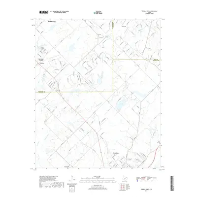
2019 Map of Terrell North
USGS Topo · Published 2019About this map
Terrell occupies the southeastern corner of this landscape, serving as a primary hub where regional roads converge near Forest Lawn Cem. To the northwest, the settlements of McLendon-Chisholm and Chisholm illustrate the suburban transition of Rockwall County, characterized by a dense network of residential streets and private airfields like Airpark East. The terrain is defined by the branching waterways of High Point Cr and Little-High Point Cr, which carve through the plains of the Blackland Prairie.
Find a feature on this map
143 named features on this map. Tap any name to fly to it.
Don’t see what you’re looking for? This feature index may not catch every label — zoom into the map to look around manually.
Map Details
Editions of this 2019 Terrell North Map
This is the sole edition of this map. No revisions or reprints were ever made.
Other maps of this area

1912 · Rockwall
USGS Topo · 1:31,680

1919 · Royse City
USGS Topo · 1:62,500

1954 · Dallas
USGS Topo · 1:250,000

1956 · Kaufman
USGS Topo · 1:62,500

1956 · Quinlan
USGS Topo · 1:62,500

1958 · Dallas
USGS Topo · 1:250,000

1962 · Elmo
USGS Topo · 1:24,000
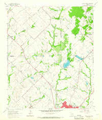
1962 · Terrell North
USGS Topo · 1:24,000
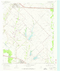
1963 · Forney South
USGS Topo · 1:24,000
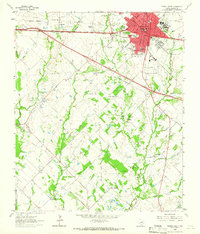
1963 · Terrell South
USGS Topo · 1:24,000