Old Maps of Terrell, Texas for Academic Research
Study the evolution of Terrell with 29 high-resolution historic maps. Whether you're teaching, researching, or modeling changes in land use, these maps provide essential visual documentation of urban, environmental, and geographic change.
- Analyze long-term change: Track patterns in development, transportation, and natural features.
- Ideal for environmental or urban studies: Support academic projects with primary historical map data.
- Use in the classroom or lab: Educators and researchers rely on these maps to bring historical context to life.
These maps are a powerful tool for teaching, research, and visualizing how Terrell has changed over the decades.
Terrell, TX maps
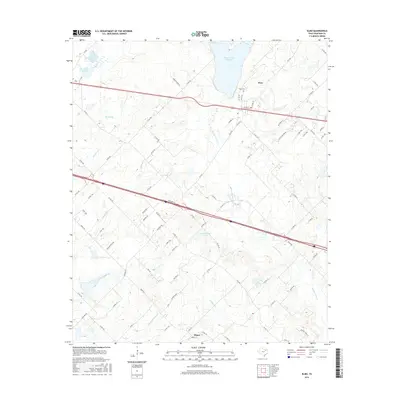
(29)- 1919 Map of Royse City
 1919 Royse City1919 Print · USGSThe agricultural heart of Northeast Texas is captured here just after the Great War, as the Blackland Prairie was crisscrossed by essential rail lines. Trace the locations of early rural landmarks like Locust Grove School, the Randle Ranch, and the vanished stop at Rockwall Station.
 - 1954 Map of Dallas, 1963 Print
 1954 Dallas1963 Print · USGSNorth Texas in the mid-fifties and early sixties reveals a landscape of rapid urban growth and water management. Genealogists and historians can trace the evolution of the metroplex through landmarks like Hensley Field, Boles Orphan Home, and the Texas & Pacific RR.4 unique versions available
 - 1956 Map of Kaufman
 1956 Kaufman1956 Print · USGSTexas cotton and rail country come alive in this survey of the northern Trinity River basin. Genealogists can trace family roots through specific landmarks like Convent Hall, the Negro School, and rural communities such as Scurry, Talty, and Gastonia.
 - 1958 Map of Dallas
 1958 Dallas1958 Print · USGSNorth Texas in the late fifties shows the dramatic expansion of the Metroplex as it absorbs surrounding farm towns. Genealogists and historians can trace old rail lines like the Missouri-Kansas-Texas and locate early lakefront developments at Eagle Mountain Lake and Lake Worth Village.
 - 1962 Map of Elmo, 1965 Print
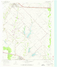
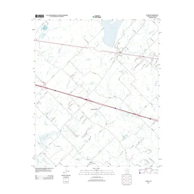
 1962 Elmo1965 Print · USGSKaufman County's rural landscape is captured here in the early sixties as a major new highway was being carved through the countryside. Genealogists can locate family landmarks like Elmo Cem, College Mound, and the rural Black Jack Ch.2 unique versions available
 - 1962 Map of Terrell North, 1966 Print
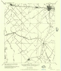
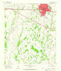
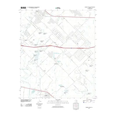
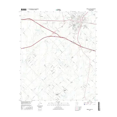
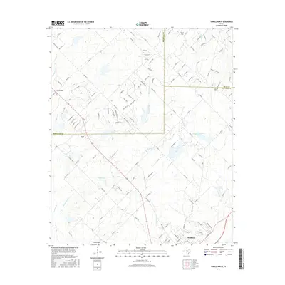
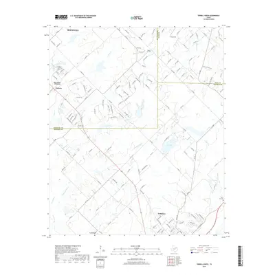
 1962 Terrell North1966 Print · USGSKaufman County in the early sixties reveals a landscape of small farming communities and the steady growth of Terrell. Trace historical footprints at Chisholm and Colquitt, or follow the Texas and Pacific Railroad line.
 - 1963 Map of Forney South
 1963 Forney South1963 Print · USGSKaufman County agricultural life is captured here in the 1960s as water management projects began to reshape the Trinity River basin. Researchers can trace the rail lines of the Southern Pacific and locate family burial grounds like Shipley Cem and Antioch Cem.3 unique versions available
 - 1963 Map of Terrell South, 1965 Print
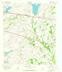
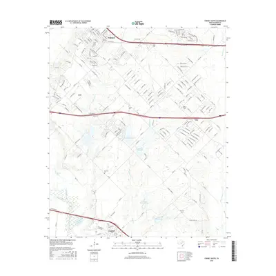
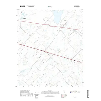
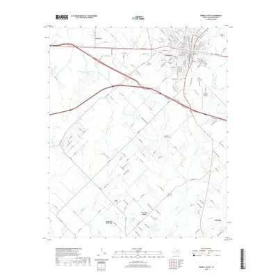
 1963 Terrell South1965 Print · USGSTerrell enters a period of modern expansion in the early sixties as new four-lane highways are carved through the Kaufman County countryside. Researchers can trace historic family burial sites and rural communities like Union Valley, Post Oak Bend, and the East Bachelor Cemeteries.
 - 1986 Map of Dallas
 1986 Dallas1986 Print · USGSThe North Texas metropolitan landscape comes into focus during the mid-eighties as urban growth expands toward the eastern reservoirs. Researchers can trace historic cemeteries like Oak Cliff Cem, rail corridors of the Texas & Pacific RR, and landmarks such as Southern Methodist University.3 unique versions available
 - 2010 Map of Elmo, 2010 Print
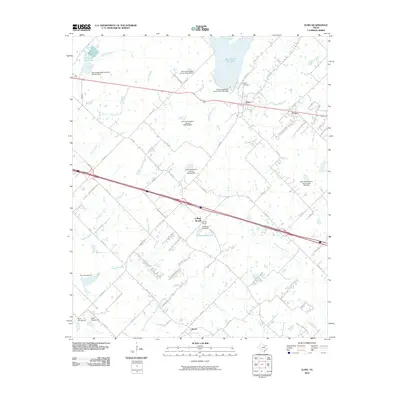 2010 Elmo2010 Print · USGSCovers Terrell, including Oak Ridge, Frog, and other nearby areas
 - 2010 Map of Terrell North, 2010 Print
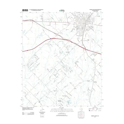
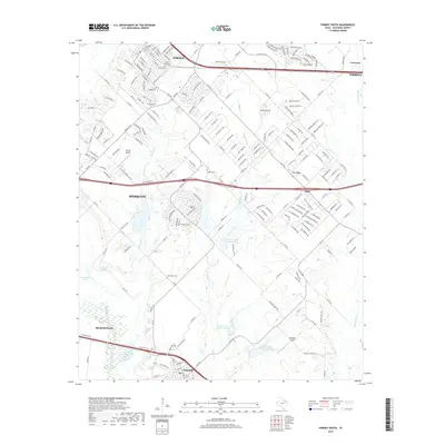
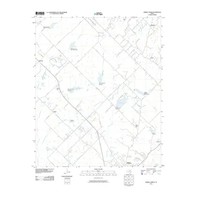 2010 Terrell North2010 Print · USGSCovers Terrell, including Rockwall, McLendon-Chisholm, and other nearby areas
 - 2010 Map of Terrell South, 2010 Print
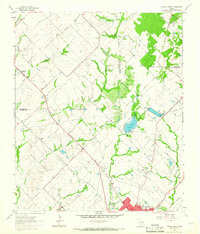
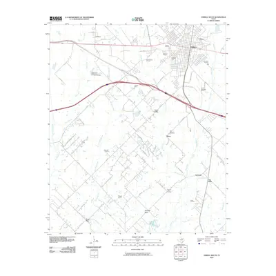 2010 Terrell South2010 Print · USGSCovers Terrell, including Oak Ridge, Post Oak Bend City, and other nearby areas
 - 2010 Map of Forney South, 2010 Print
 2010 Forney South2010 Print · USGSCovers Terrell, including Mesquite, Forney, and other nearby areas
 - 2012 Map of Terrell South, 2012 Print
 2012 Terrell South2012 Print · USGSCovers Terrell, including Oak Ridge, Post Oak Bend City, and other nearby areas
 - 2012 Map of Terrell North, 2012 Print
 2012 Terrell North2012 Print · USGSCovers Terrell, including Rockwall, McLendon-Chisholm, and other nearby areas
 - 2012 Map of Forney South, 2012 Print
 2012 Forney South2012 Print · USGSCovers Terrell, including Mesquite, Forney, and other nearby areas
 - 2012 Map of Elmo, 2012 Print
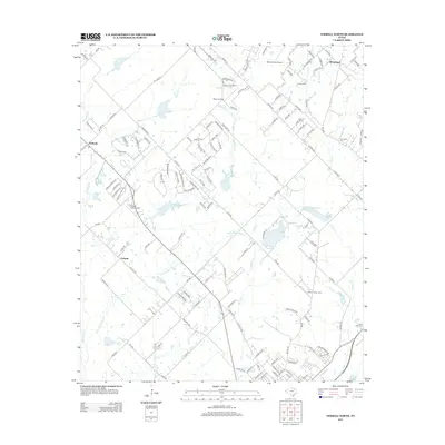
 2012 Elmo2012 Print · USGSCovers Terrell, including Oak Ridge, Frog, and other nearby areas
 - 2016 Map of Terrell South, 2016 Print
 2016 Terrell South2016 Print · USGSCovers Terrell, including Oak Ridge, Post Oak Bend City, and other nearby areas
 - 2016 Map of Elmo, 2016 Print
 2016 Elmo2016 Print · USGSCovers Terrell, including Oak Ridge, Frog, and other nearby areas
 - 2016 Map of Forney South, 2016 Print
 2016 Forney South2016 Print · USGSCovers Terrell, including Mesquite, Forney, and other nearby areas
 - 2016 Map of Terrell North, 2016 Print
 2016 Terrell North2016 Print · USGSCovers Terrell, including Rockwall, McLendon-Chisholm, and other nearby areas
 - 2019 Map of Elmo, 2019 Print
 2019 Elmo2019 Print · USGSCovers Terrell, including Oak Ridge, Frog, and other nearby areas
 - 2019 Map of Terrell North, 2019 Print
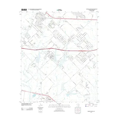
 2019 Terrell North2019 Print · USGSCovers Terrell, including Rockwall, McLendon-Chisholm, and other nearby areas
 - 2019 Map of Terrell South, 2019 Print
 2019 Terrell South2019 Print · USGSCovers Terrell, including Oak Ridge, Post Oak Bend City, and other nearby areas
 - 2019 Map of Forney South, 2019 Print
 2019 Forney South2019 Print · USGSCovers Terrell, including Mesquite, Forney, and other nearby areas
Showing maps 1-25 of 29
Top cities near Terrell
- Dallas historical maps
- Garland historical maps
- Mesquite historical maps
- Rowlett historical maps
- Rockwall historical maps
- Forney historical maps
See more
Frequently asked questions
- What are the different types of historical maps available for Terrell?
- What is the oldest map of Terrell?
- Where can I purchase historical maps of Terrell for my home or office?
- Where can I download high-res historical maps of Terrell?
- Are there historical topographic maps available for Terrell?
- Is there historical aerial imagery available for Terrell?
- Where are historical maps of Terrell sourced from?