1960s Maps of Kerr County, Texas
Explore 24 historic maps of Kerr County from the 1960s. These maps offer a rare glimpse into what life looked like during the 1960s — showing old roads, neighborhoods, homes, and landmarks that have changed or disappeared over time.
Whether you're researching your family's past, planning a metal detecting trip, or studying how Kerr County's landscape evolved across the 1960s, these high-resolution maps are a powerful tool for exploring the history of this region.
- Focus on a specific era: All maps on this page are from the 1960s, giving you a focused view of this time period.
- See what’s changed: Compare century-old streets, trails, and buildings to today's modern landscape using overlays and satellite layers.
- Research with precision: Use these maps for genealogy, historical research, land use analysis, or educational projects.
- View, download, or print: Maps are fully viewable online in high resolution, and can be downloaded or printed for your own records.
Start exploring Kerr County's history through authentic maps from the 1960s. This is your window into the past.
Kerr County, TX maps
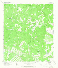
(24)- 1963 Map of Garven Store, 1966 Print
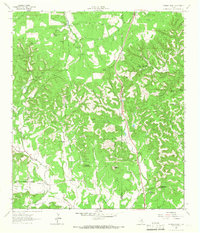
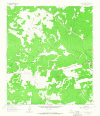
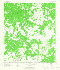
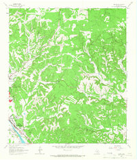
 1963 Garven Store1966 Print · USGSThe Texas Hill Country at the edge of the Divide is captured in the early sixties as a ranching landscape defined by the Real and Kerr county line. Researchers can locate remote landmarks like the Divide Community House, Garven Store, and Buffalo Windmill.2 unique versions available
 - 1963 Map of Y O Ranch, 1968 Print
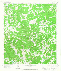
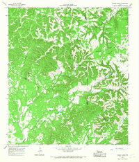
 1963 Y O Ranch1968 Print · USGSThe Texas Hill Country ranching economy is preserved here during the early sixties, showing a landscape shaped by water and livestock. Researchers can trace historic family dwellings like Needham House and specialized ranch features including the Landing Strip and Gobblers Knob.2 unique versions available
 - 1964 Map of Comfort, 1966 Print
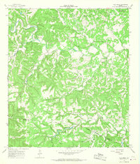
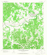 1964 Comfort1966 Print · USGSThe Texas Hill Country comes alive in the mid-sixties as the Southern Pacific railroad tracks and the Guadalupe River converge at Comfort. Researchers can trace old family burial sites at Hermann Sons Cem or locate the site of the Rodeo Ground and Wolkenburg.2 unique versions available
 - 1964 Map of Oak Crest Park, 1966 Print
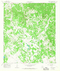
 1964 Oak Crest Park1966 Print · USGSGillespie County is shown during the mid-sixties, capturing a landscape of Hill Country ranching and rural aviation. Genealogists can trace family footprints at Morris Ranch and Eckert Cem or locate the Wieder Community House along the Pedernales River.3 unique versions available
 - 1964 Map of Morris Ranch, 1966 Print
 1964 Morris Ranch1966 Print · USGSThe Gillespie County hill country in the mid-1960s is defined by the winding Pedernales River and sprawling ranching estates. Genealogists and researchers can trace family landmarks and rural burials at Hill Crest Cem, Morris Ranch, and the Triple H Ranch.
 - 1964 Map of Hillcrest Ranch, 1966 Print
 1964 Hillcrest Ranch1966 Print · USGSRanching life in the Texas Hill Country during the mid-sixties centered on sprawling family estates and vital water sources. Researchers can trace land boundaries and legacy sites from Hillcrest Ranch to Frio Ranch, as well as local landmarks like Yellow Bluff.
 - 1964 Map of Nott Branch, 1966 Print
 1964 Nott Branch1966 Print · USGSIn the mid-sixties, this portion of the Texas Hill Country remained a landscape of established family holdings and river-fed ranch lands. Researchers can trace historic property markers and burial sites like Peril Cem and landmarks such as Pillar Rock or the Circle D Ranch.3 unique versions available
 - 1964 Map of Center Point, 1966 Print
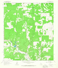
 1964 Center Point1966 Print · USGSThe Guadalupe River valley in the mid-1960s reveals a landscape of enduring Hill Country ranches and riverside settlements. Genealogists and historians can trace family sites like the Wharton Cem, the grounds of Old Camp Verde, and the H-Bar-H Ranch.2 unique versions available
 - 1964 Map of Cypress Creek, 1966 Print
 1964 Cypress Creek1966 Print · USGSThe ranching country along the Kerr and Kendall county line comes into focus in the mid-1960s, showing a land of springs and limestone peaks. Genealogists and historians can locate family holdings like Hasenwinkel Ranch and Turkey Hollow Ranch among landmarks like Rattlesnake Mountain.3 unique versions available
 - 1964 Map of Boneyard Draw, 1966 Print
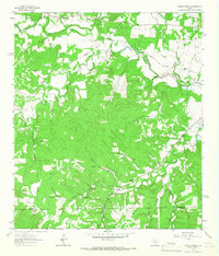
 1964 Boneyard Draw1966 Print · USGSThe Texas Hill Country in the mid-sixties reveals a landscape of isolated cattle ranches and early conservation efforts. Genealogists and local historians can trace family-named landmarks like Benson Ranch, the Divide Sch, and numerous working wells including the Sampson Windmill.2 unique versions available
 - 1964 Map of Well Hollow, 1967 Print
 1964 Well Hollow1967 Print · USGSThe headwaters of the Guadalupe and Medina rivers meet at the Kerr and Bandera county line during the mid-sixties. Researchers can trace the rugged drainage of Well Hollow, find a remote Landing Strip, and locate early water infrastructure like the Water Tank.
 - 1964 Map of Diamond S Ranch, 1967 Print
 1964 Diamond S Ranch1967 Print · USGSThe Texas Hill Country along the Kerr and Bandera county line is shown here in the mid-1960s, dominated by large private ranching estates. You can trace the boundaries and features of the Diamond S Ranch, Lynxhaven Lodge, and the Landing Strip along the South Fork Guadalupe River.2 unique versions available
 - 1964 Map of Contrary Creek, 1967 Print
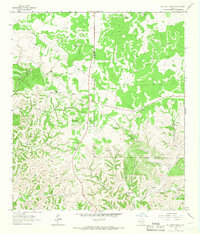
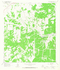
 1964 Contrary Creek1967 Print · USGSKerr County ranching and rural life are captured here in the mid-1960s, showing a landscape carved by the waters of Johnson Creek. Genealogists can trace family landmarks like East Windmill and the community centers at Midway Station and Mountain Home.
 - 1964 Map of Echo Hill Ranch, 1967 Print
 1964 Echo Hill Ranch1967 Print · USGSThe Texas Hill Country of the 1960s is defined here by sprawling family estates and the intricate drainage of the Medina River. Researchers can trace the boundaries of the Echo Hill Ranch, locate the Medina Childrens Home, or find family-named sites like the Porter Ranch.
 - 1964 Map of Kerrville, 1967 Print
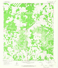
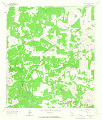
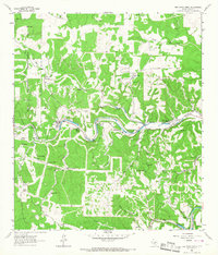
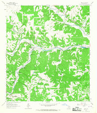
 1964 Kerrville1967 Print · USGSThe Texas Hill Country centers on the winding Guadalupe River during a period of steady institutional and residential growth in the mid-sixties. Genealogists and historians can locate family landmarks like the Nichols Cem, the Schreiner Institute campus, and the early grounds of Old Lake Ingram.3 unique versions available
 - 1964 Map of Bee Caves Creek, 1967 Print
 1964 Bee Caves Creek1967 Print · USGSKerr County ranch lands in the mid-1960s reveal a landscape defined by the forks of the Guadalupe River and vital groundwater. Trace property lines and water sources through historic spreads like Patio Ranch, Mo Ranch, and Camp WT Waldeman.
 - 1964 Map of Live Oak Ranch, 1967 Print
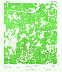
 1964 Live Oak Ranch1967 Print · USGSKerr County ranching operations were in full swing during the early sixties, defined by a critical network of water infrastructure. Local historians and land researchers can trace property boundaries and livestock landmarks like Live Oak Ranch, Black Bull Ranch, and Goat Shed Windmill.
 - 1964 Map of Mountain Home, 1967 Print
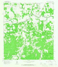
 1964 Mountain Home1967 Print · USGSThe Texas Hill Country comes alive in the 1960s as a landscape of remote homesteads and winding creeks. Genealogists and historians can trace the Mountain Home community, find family sites at Sunset Cem, and locate the State Fish Hatchery along Johnson Creek.2 unique versions available
 - 1964 Map of Hunt, 1967 Print
 1964 Hunt1967 Print · USGSThe Texas Hill Country near the forks of the Guadalupe River was a hub for summer camps and family ranches in the early 1960s. Genealogists and historians can trace the foundations of Hunt, local burials at Hunt Cem, and recreation at Camp Rio Vista or Camp Stewart.3 unique versions available
 - 1964 Map of Rock Cliff Reservoir, 1967 Print
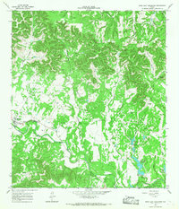 1964 Rock Cliff Reservoir1967 Print · USGSBandera County and Kerr County are captured in the mid-sixties as the Hill Country landscape balanced traditional ranching with new water reservoirs. Genealogists and historians can trace the foundations of Medina, local landmarks like Camp Sionito, and family burial grounds at the Cem.2 unique versions available
 - 1964 Map of Legion, 1967 Print
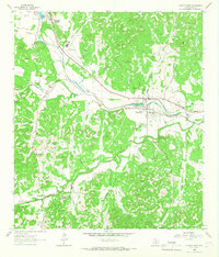
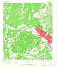
 1964 Legion1967 Print · USGSKerr County in the mid-1960s reveals a unique intersection of institutional care and Hill Country terrain along the Guadalupe River. Researchers can trace the grounds of Legion, the Veterans Hospital, and the rail corridor of the Southern Pacific.2 unique versions available
 - 1964 Map of Turkey Knob, 1968 Print
 1964 Turkey Knob1968 Print · USGSThe Texas Hill Country at the triple junction of Bandera, Kerr, and Kendall Counties is captured here during the mid-sixties. Researchers can locate family landmarks such as the Polly Cem, Privilege Sch, and Rodriquez Ch among the limestone ridges.2 unique versions available
 - 1964 Map of Fall Creek, 1968 Print
 1964 Fall Creek1968 Print · USGSThe Texas Hill Country at the Kerr and Bandera county line in the mid-sixties reveals a landscape of isolated camps and family homesteads. Genealogists can locate family-named sites like Real Cem and Habecker Cem or trace the drainage of Turtle Creek and Verde Creek.2 unique versions available
 - 1964 Map of Bandera Pass, 1968 Print
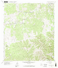
 1964 Bandera Pass1968 Print · USGSThe Texas Hill Country at the Bandera and Kerr county line is shown here in the mid-1960s as a landscape of isolated summits and ranching outposts. Researchers can trace land use through features like the Purple Sage Ranch, the historic Bandera Pass, and remote family landmarks like Duffys Mtn.3 unique versions available
End of results
Showing maps 1-24 of 24
Top cities of Kerr County
- Kerrville historical maps
- Center Point historical maps
- Ingram historical maps
- Camp Verde historical maps
Frequently asked questions
- What are the different types of historical maps available for Kerr County?
- What is the oldest map of Kerr County?
- Where can I purchase historical maps of Kerr County for my home or office?
- Where can I download high-res historical maps of Kerr County?
- Are there historical topographic maps available for Kerr County?
- Is there historical aerial imagery available for Kerr County?
- Where are historical maps of Kerr County sourced from?