Old Maps of Telegraph, Texas for Academic Research
Study the evolution of Telegraph with 12 high-resolution historic maps. Whether you're teaching, researching, or modeling changes in land use, these maps provide essential visual documentation of urban, environmental, and geographic change.
- Analyze long-term change: Track patterns in development, transportation, and natural features.
- Ideal for environmental or urban studies: Support academic projects with primary historical map data.
- Use in the classroom or lab: Educators and researchers rely on these maps to bring historical context to life.
These maps are a powerful tool for teaching, research, and visualizing how Telegraph has changed over the decades.
Telegraph, TX maps
(12)- 1926 Map of Segovia 2-c
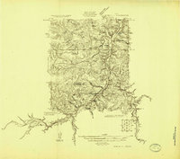 1926 Segovia 2-c1926 Print · USGSKimble and Edwards Counties appear here during the mid-twenties as the South Llano River was being meticulously surveyed for water resources. Researchers can pinpoint the remote Telegraph settlement, Evergreen School, and the hydrologically significant Seven Hundred Springs.
 - 1932 Map of Junction
 1932 Junction1932 Print · USGSJunction and the surrounding Hill Country are captured in the early thirties as the local road network began to formalize. Genealogists and researchers can trace the locations of Evergreen Sch, Paint Rock Sch, and the riverside settlement of Telegraph.2 unique versions available
 - 1954 Map of Llano, 1964 Print
 1954 Llano1964 Print · USGSThe Texas Hill Country and Highland Lakes appear in the mid-fifties, just as new reservoirs began reshaping the landscape. Trace ranching history and river routes from Mason to Llano, or follow the Gulf Colorado and Santa Fe RR past Buchanan Lake.2 unique versions available
 - 1955 Map of Llano
 1955 Llano1955 Print · USGSCentral Texas and the Hill Country are seen here during the mid-1950s growth of the Highland Lakes. Trace old settlements and geologic landmarks from Enchanted Rock and Longhorn Cavern to the small community of Luckenbach.
 - 1956 Map of Llano, 1976 Print
 1956 Llano1976 Print · USGSThe Texas Hill Country comes alive in this mid-seventies survey of the Llano Uplift and Colorado River lakes. Genealogists and historians can trace family roots through settlements like Luckenbach and Castell or locate the famed L B J Ranch and Enchanted Rock.
 - 1974 Map of Telegraph, 1977 Print
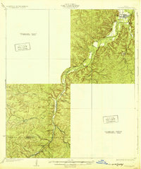
 1974 Telegraph1977 Print · USGSKimble County's river-fed ranch lands are documented here in the mid-1970s, centered on the settlement of Telegraph. Researchers can locate family landmarks like Wooten Cem, Paint Creek Ranch, and the unique Seven Hundred Springs along the South Llano River.
 - 1985 Map of Kerrville
 1985 Kerrville1985 Print · USGSThe Texas Hill Country comes into focus in the mid-eighties as a landscape of ranching roads and river headwaters. Trace the historic sites of Old Noxville, the remote Garven Store, and the early campus of Schreiner College.2 unique versions available
 - 2010 Map of Telegraph, 2010 Print
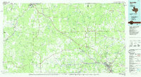
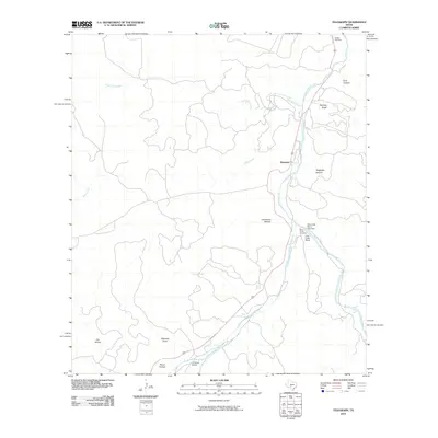 2010 Telegraph2010 Print · USGSCovers Telegraph, including Kimble County, Edwards County, and other nearby areas
 - 2012 Map of Telegraph, 2012 Print
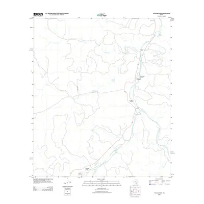 2012 Telegraph2012 Print · USGSCovers Telegraph, including Kimble County, Edwards County, and other nearby areas
 - 2016 Map of Telegraph, 2016 Print
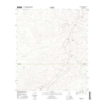 2016 Telegraph2016 Print · USGSCovers Telegraph, including Kimble County, Edwards County, and other nearby areas
 - 2019 Map of Telegraph, 2019 Print
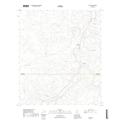 2019 Telegraph2019 Print · USGSCovers Telegraph, including Kimble County, Edwards County, and other nearby areas
 - 2022 Map of Telegraph, 2022 Print
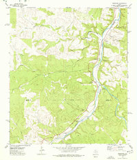
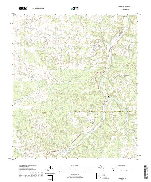 2022 Telegraph2022 Print · USGSAlong the Kimble and Edwards County line, this modern survey tracks the spring-fed hydrology of the Hill Country. Genealogists and researchers can locate Telegraph, Wooten Cem, and the historic Paint Creek Cem along the South Llano River.
End of results
Showing maps 1-12 of 12
Top cities near Telegraph
Frequently asked questions
- What are the different types of historical maps available for Telegraph?
- What is the oldest map of Telegraph?
- Where can I purchase historical maps of Telegraph for my home or office?
- Where can I download high-res historical maps of Telegraph?
- Are there historical topographic maps available for Telegraph?
- Is there historical aerial imagery available for Telegraph?
- Where are historical maps of Telegraph sourced from?