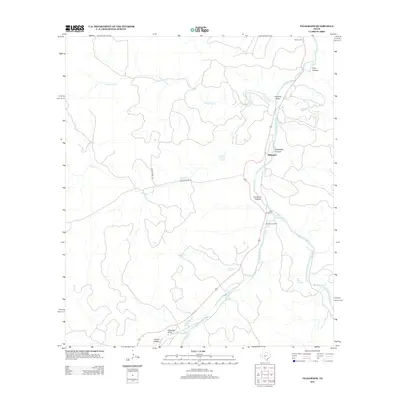
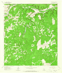
2012 Map of Telegraph
USGS Topo · Published 2012About this map
Icy Strait and Cross Sound converge in this 1961 topographical representation, defining the rugged maritime landscape of the Hoonah A-2 region. The map details the intricate coastlines and waterways surrounding Lemesurier Island and the Inian Islands, providing a precise look at the navigational routes through North Inian Pass and Whidbey Passage. Further north, the expansive waters of Glacier Bay open up, dotted with landmarks such as Willoughby Island and Francis Island.
Find a feature on this map
24 named features on this map. Tap any name to fly to it.
Don’t see what you’re looking for? This feature index may not catch every label — zoom into the map to look around manually.
Map Details
Editions of this 2012 Telegraph Map
This is the sole edition of this map. No revisions or reprints were ever made.
Other maps of this area
1893 · Rock Springs
USGS Topo · 1:125,000
1926 · Segovia 2-c
USGS Topo · 1:48,000
1932 · Junction
USGS Topo · 1:62,500
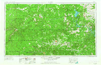
1954 · Llano
USGS Topo · 1:250,000

1954 · Sonora
USGS Topo · 1:250,000
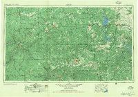
1955 · Llano
USGS Topo · 1:250,000
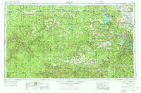
1956 · Llano
USGS Topo · 1:250,000

1958 · Sonora
USGS Topo · 1:250,000
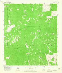
1962 · Hill Ranch
USGS Topo · 1:24,000
1962 · Roosevelt
USGS Topo · 1:24,000