Old Maps of Paris, Texas for Academic Research
Study the evolution of Paris with 37 high-resolution historic maps. Whether you're teaching, researching, or modeling changes in land use, these maps provide essential visual documentation of urban, environmental, and geographic change.
- Analyze long-term change: Track patterns in development, transportation, and natural features.
- Ideal for environmental or urban studies: Support academic projects with primary historical map data.
- Use in the classroom or lab: Educators and researchers rely on these maps to bring historical context to life.
These maps are a powerful tool for teaching, research, and visualizing how Paris has changed over the decades.
Paris, TX maps
(37)- 1903 Map of Paris
 1903 Paris1903 Print · USGSThe Red River borderlands of the Indian Territory and Texas are shown here at the start of the century. Genealogists and researchers can trace early settlements and social hubs like Grant, Oberlin, and the Camp Ground along the winding banks of the Red River.
 - 1948 Map of Paris, 1966 Print
 1948 Paris1966 Print · USGSLamar County in the late 1940s shows the growth of Paris alongside its vital rail lines and military infrastructure. Researchers can trace family sites at Evergreen Cem, explore the Camp Maxey Military Reservation, or locate rural landmarks like Roxton and Ambia Sch.
 - 1949 Map of Paris
 1949 Paris1949 Print · USGSPost-war Paris and Lamar County are shown here at a peak of rail and agricultural connectivity before the highway era transformed the rural landscape. Genealogists and local historians can locate dozens of country schools and churches, such as Cedar Hill Sch, Ambia Sch, and Mount Vernon Church.
 - 1953 Map of Texarkana, 1964 Print
 1953 Texarkana1964 Print · USGSThe Texas-Arkansas borderlands are captured here in the mid-fifties, during a decade of massive military and hydraulic engineering projects. Genealogists and researchers can locate family landmarks like Old Boston Cem, Siloam Ch, and the vast Red River Arsenal.4 unique versions available
 - 1956 Map of Texarkana
 1956 Texarkana1956 Print · USGSThe Ark-La-Tex borderlands come alive in the mid-fifties, showing the transition from a rail-dependent rural economy to a post-war industrial landscape. Researchers can trace the massive Red River Ordnance Depot and find towns like Talco, Bogata, and Naples.
 - 1964 Map of Pattonville, 1967 Print
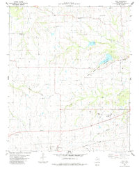
 1964 Pattonville1967 Print · USGSLamar County's rural communities and creek-side settlements are captured here in the mid-1960s. Genealogists and local historians can trace family roots through landmarks like Biardstown Cem, the Plainview Community Hall, and the Old Railroad Grade that once spanned the county.
 - 1964 Map of Blossom, 1967 Print
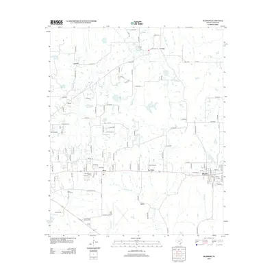
 1964 Blossom1967 Print · USGSLamar County life centered on the rail-and-road corridor between Paris and Blossom during the mid-sixties. Researchers can trace family history at Corn Cem, Sikes Cem, or Providence Ch and locate era-specific landmarks like the Drive-in Theater and Cox Field.
 - 1984 Map of Biardstown
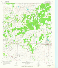
 1984 Biardstown1984 Print · USGSSoutheast of Paris, Texas, in the late seventies, this rural landscape centers on the small agricultural hub of Biardstown. Researchers can trace old family roots and land use patterns through numerous landmarks like Mc Donald Cem, Delmar Sch, and the vanished tracks of an Old Railroad Grade.
 - 1984 Map of Toco, 1985 Print
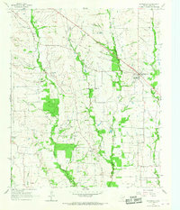
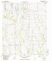
 1984 Toco1985 Print · USGSLamar County in the mid-1980s was a landscape of small agricultural hubs and vital watercourses. Genealogists can trace family landmarks at Shiloh Cemetery and Jackson Cemetery, while rail historians can follow the Missouri Pacific line through Brookston.
 - 1984 Map of Paris, 1985 Print
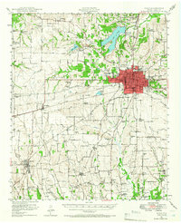
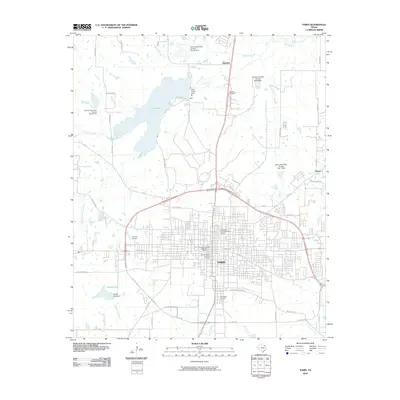
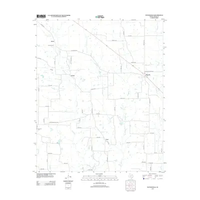
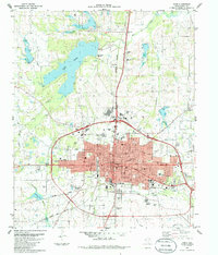 1984 Paris1985 Print · USGSThe rail-and-road network of Paris, Texas, is captured here in the mid-eighties, showing a bustling county seat at a point of significant transition. Researchers can locate specific neighborhood institutions like the First Ward Sch, trace the old Missouri Pacific Railroad lines, or find family plots in Evergreen Cem.
 - 1985 Map of Paris
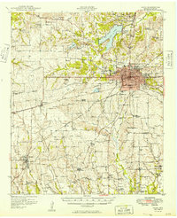
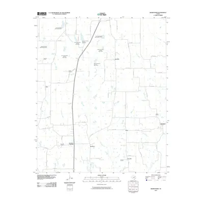
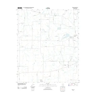
 1985 Paris1985 Print · USGSThe Red River Valley in the mid-eighties shows a landscape of military training grounds and rail-connected agricultural towns. Genealogists and historians can trace local landmarks like Allens Chapel Cem, the grounds of Camp Maxey, and the early footprint of Paris Junior College.
 - 1991 Map of Paris
 1991 Paris1991 Print · USGSNorthern Texas and southern Oklahoma meet along the Red River valley during the early nineties. Researchers can trace the rail networks of the Texas and Pacific RR and visit rural communities like Manchester, Sylvan, and Arthur City.
 - 2010 Map of Blossom, 2010 Print
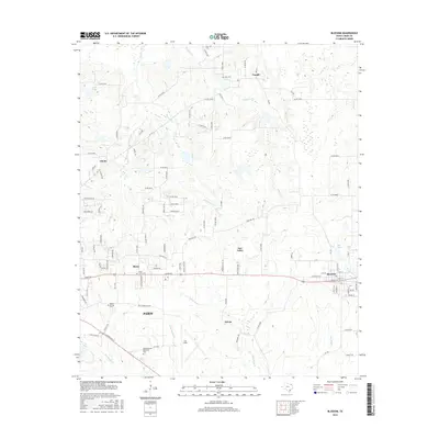
 2010 Blossom2010 Print · USGSCovers Paris, including Reno, Blossom, and other nearby areas
 - 2010 Map of Biardstown, 2010 Print
 2010 Biardstown2010 Print · USGSCovers Paris, including Atlas, Broadway, and other nearby areas
 - 2010 Map of Toco, 2010 Print
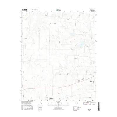
 2010 Toco2010 Print · USGSCovers Paris, including Toco, Sumner, and other nearby areas
 - 2010 Map of Paris, 2010 Print
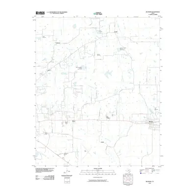
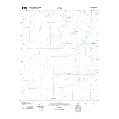
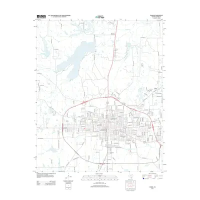
 2010 Paris2010 Print · USGSCovers Paris, including Reno, Hinckley, and other nearby areas
 - 2010 Map of Pattonville, 2010 Print
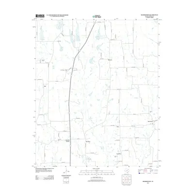
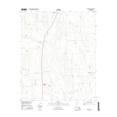
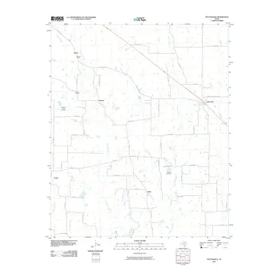 2010 Pattonville2010 Print · USGSCovers Paris, including Marvin, Pattonville, and other nearby areas
 - 2013 Map of Pattonville, 2013 Print
 2013 Pattonville2013 Print · USGSCovers Paris, including Marvin, Pattonville, and other nearby areas
 - 2013 Map of Biardstown, 2013 Print
 2013 Biardstown2013 Print · USGSCovers Paris, including Atlas, Broadway, and other nearby areas
 - 2013 Map of Blossom, 2013 Print
 2013 Blossom2013 Print · USGSCovers Paris, including Reno, Blossom, and other nearby areas
 - 2013 Map of Toco, 2013 Print
 2013 Toco2013 Print · USGSCovers Paris, including Toco, Sumner, and other nearby areas
 - 2013 Map of Paris, 2013 Print
 2013 Paris2013 Print · USGSCovers Paris, including Reno, Hinckley, and other nearby areas
 - 2016 Map of Biardstown, 2016 Print
 2016 Biardstown2016 Print · USGSCovers Paris, including Atlas, Broadway, and other nearby areas
 - 2016 Map of Toco, 2016 Print
 2016 Toco2016 Print · USGSCovers Paris, including Toco, Sumner, and other nearby areas
 - 2016 Map of Blossom, 2016 Print
 2016 Blossom2016 Print · USGSCovers Paris, including Reno, Blossom, and other nearby areas
Showing maps 1-25 of 37
Top cities near Paris
- Reno historical maps
- Blossom historical maps
- Roxton historical maps
- Toco historical maps
- Sun Valley historical maps
Top neighborhoods of Paris
Frequently asked questions
- What are the different types of historical maps available for Paris?
- What is the oldest map of Paris?
- Where can I purchase historical maps of Paris for my home or office?
- Where can I download high-res historical maps of Paris?
- Are there historical topographic maps available for Paris?
- Is there historical aerial imagery available for Paris?
- Where are historical maps of Paris sourced from?