2000s (21st Century) Maps of Paris, Texas
Explore 25 historic maps of Paris from the 2000s (21st Century). These maps offer a rare glimpse into what life looked like during the 2000s — showing old roads, neighborhoods, homes, and landmarks that have changed or disappeared over time.
Whether you're researching your family's past, planning a metal detecting trip, or studying how Paris's landscape evolved across the 2000s, these high-resolution maps are a powerful tool for exploring the history of this region.
- Focus on a specific era: All maps on this page are from the 2000s, giving you a focused view of this time period.
- See what’s changed: Compare century-old streets, trails, and buildings to today's modern landscape using overlays and satellite layers.
- Research with precision: Use these maps for genealogy, historical research, land use analysis, or educational projects.
- View, download, or print: Maps are fully viewable online in high resolution, and can be downloaded or printed for your own records.
Start exploring Paris's history through authentic maps from the 2000s. This is your window into the past.
Paris, TX maps
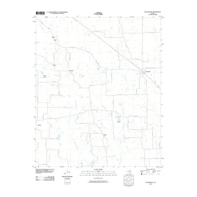
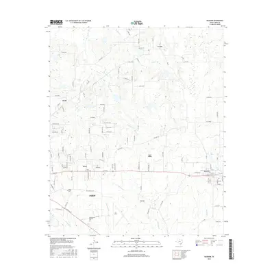
(25)- 2010 Map of Blossom, 2010 Print
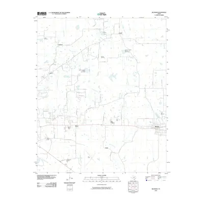 2010 Blossom2010 Print · USGSCovers Paris, including Reno, Blossom, and other nearby areas
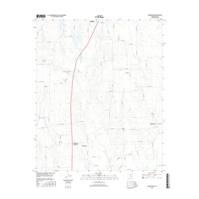
 - 2010 Map of Biardstown, 2010 Print
 2010 Biardstown2010 Print · USGSCovers Paris, including Atlas, Broadway, and other nearby areas
 - 2010 Map of Toco, 2010 Print
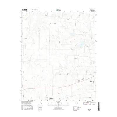
 2010 Toco2010 Print · USGSCovers Paris, including Toco, Sumner, and other nearby areas
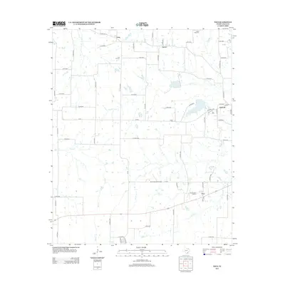
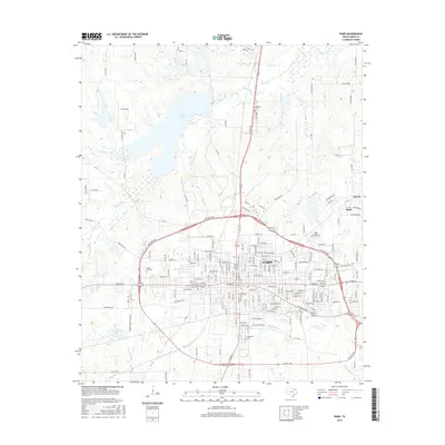
 - 2010 Map of Paris, 2010 Print
 2010 Paris2010 Print · USGSCovers Paris, including Reno, Hinckley, and other nearby areas
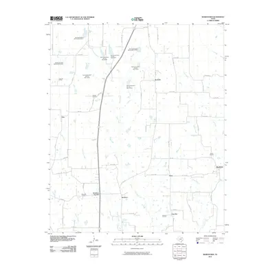
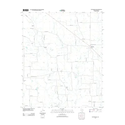
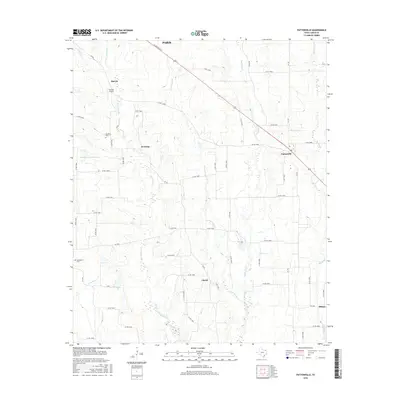
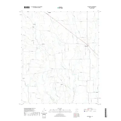
 - 2010 Map of Pattonville, 2010 Print
 2010 Pattonville2010 Print · USGSCovers Paris, including Marvin, Pattonville, and other nearby areas
 - 2013 Map of Pattonville, 2013 Print
 2013 Pattonville2013 Print · USGSCovers Paris, including Marvin, Pattonville, and other nearby areas
 - 2013 Map of Biardstown, 2013 Print
 2013 Biardstown2013 Print · USGSCovers Paris, including Atlas, Broadway, and other nearby areas
 - 2013 Map of Blossom, 2013 Print
 2013 Blossom2013 Print · USGSCovers Paris, including Reno, Blossom, and other nearby areas
 - 2013 Map of Toco, 2013 Print
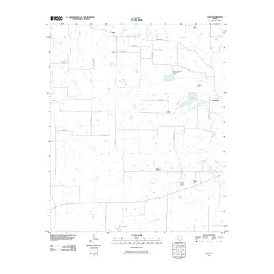
 2013 Toco2013 Print · USGSCovers Paris, including Toco, Sumner, and other nearby areas
 - 2013 Map of Paris, 2013 Print
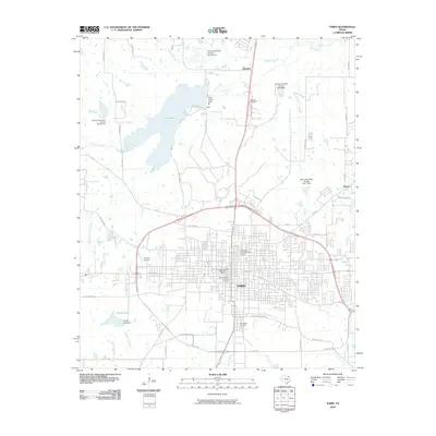
 2013 Paris2013 Print · USGSCovers Paris, including Reno, Hinckley, and other nearby areas
 - 2016 Map of Biardstown, 2016 Print
 2016 Biardstown2016 Print · USGSCovers Paris, including Atlas, Broadway, and other nearby areas
 - 2016 Map of Toco, 2016 Print
 2016 Toco2016 Print · USGSCovers Paris, including Toco, Sumner, and other nearby areas
 - 2016 Map of Blossom, 2016 Print
 2016 Blossom2016 Print · USGSCovers Paris, including Reno, Blossom, and other nearby areas
 - 2016 Map of Pattonville, 2016 Print
 2016 Pattonville2016 Print · USGSCovers Paris, including Marvin, Pattonville, and other nearby areas
 - 2016 Map of Paris, 2016 Print
 2016 Paris2016 Print · USGSCovers Paris, including Reno, Hinckley, and other nearby areas
 - 2019 Map of Pattonville, 2019 Print
 2019 Pattonville2019 Print · USGSCovers Paris, including Marvin, Pattonville, and other nearby areas
 - 2019 Map of Blossom, 2019 Print
 2019 Blossom2019 Print · USGSCovers Paris, including Reno, Blossom, and other nearby areas
 - 2019 Map of Paris, 2019 Print
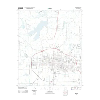
 2019 Paris2019 Print · USGSCovers Paris, including Reno, Hinckley, and other nearby areas
 - 2019 Map of Biardstown, 2019 Print
 2019 Biardstown2019 Print · USGSCovers Paris, including Atlas, Broadway, and other nearby areas
 - 2019 Map of Toco, 2019 Print
 2019 Toco2019 Print · USGSCovers Paris, including Toco, Sumner, and other nearby areas
 - 2022 Map of Pattonville, 2022 Print
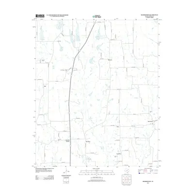
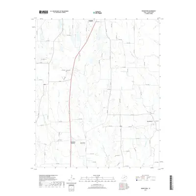
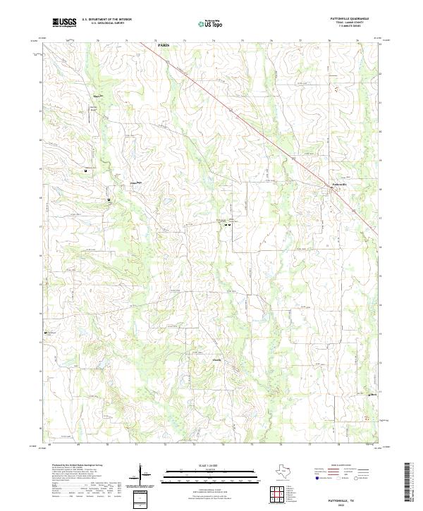 2022 Pattonville2022 Print · USGSLamar County's rural ranching and farming communities are documented here as they appeared in the early 2020s. Genealogists can locate family landmarks like Biardstown Cem and Shady Grove Cem or trace the winding course of Big Sandy Cr.
 - 2022 Map of Blossom, 2022 Print
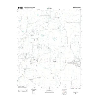
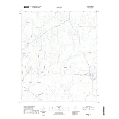
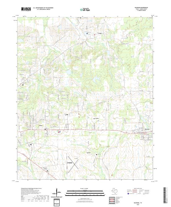 2022 Blossom2022 Print · USGSThe rural expanses east of Paris, Texas, are captured here in the early twenty-first century, showing the development of Blossom and Reno. Genealogists can trace several local burial sites like Union Grove Cem and Mount Olive Cem, or locate the aviation hub at Cox Field.
 - 2022 Map of Biardstown, 2022 Print
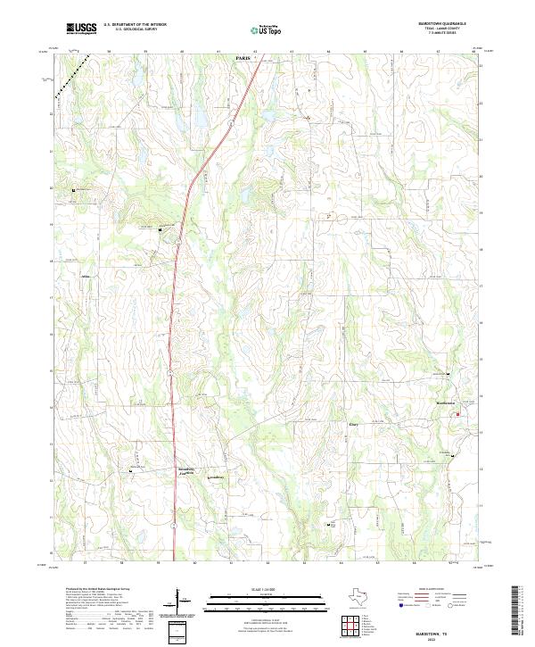 2022 Biardstown2022 Print · USGSSouthern Lamar County is shown as a thriving patchwork of rural hamlets and family-named landmarks. Researchers can trace local lineage through sites like Friendship Cem and McDonald Cem, or locate the historic center of Biardstown.
 - 2022 Map of Toco, 2022 Print
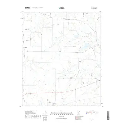
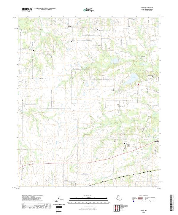 2022 Toco2022 Print · USGSLamar County's rural landscape is surveyed here just north of the regional hub of PARIS. Genealogists and local historians can trace the locations of numerous community burial grounds like Little Vine Cem and the waters of Lake Gibbons.
 - 2022 Map of Paris, 2022 Print
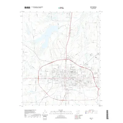
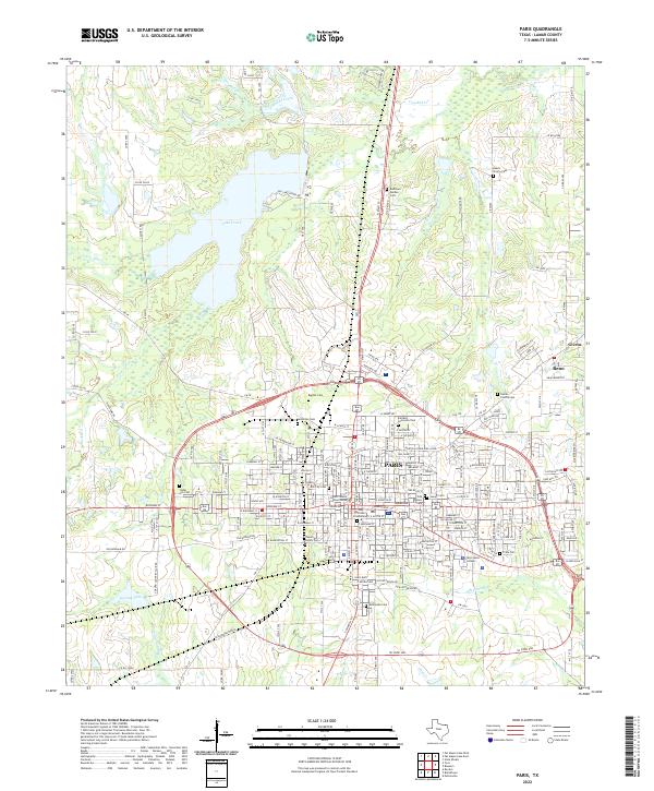 2022 Paris2022 Print · USGSTexas northeast corner comes alive in this contemporary survey of the Lamar County seat and its nearby communities. Genealogists and historians can trace family roots through numerous sites like Evergreen Cem, Hendricks Cem, and the central Lamar County Courthouse.
End of results
Showing maps 1-25 of 25
Top cities near Paris
- Reno historical maps
- Blossom historical maps
- Roxton historical maps
- Toco historical maps
- Sun Valley historical maps
Top neighborhoods of Paris
Frequently asked questions
- What are the different types of historical maps available for Paris?
- What is the oldest map of Paris?
- Where can I purchase historical maps of Paris for my home or office?
- Where can I download high-res historical maps of Paris?
- Are there historical topographic maps available for Paris?
- Is there historical aerial imagery available for Paris?
- Where are historical maps of Paris sourced from?