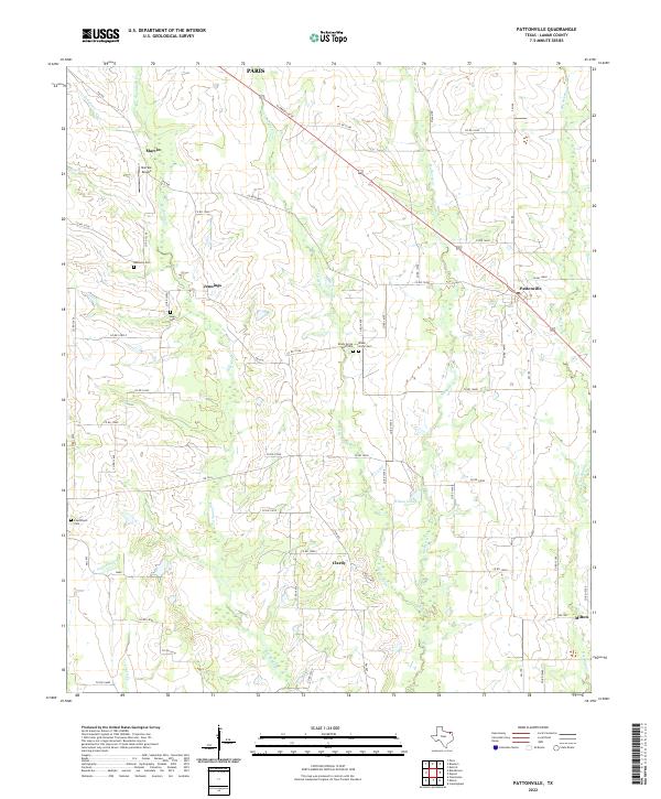
2022 Map of Pattonville
USGS Topo · Published 2022About this map
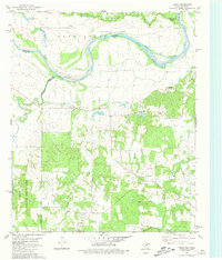
Pattonville and the surrounding agricultural lands of Lamar County define this terrain, characterized by a complex network of creeks including Big Sandy Cr and Little Sandy Cr. The landscape is dotted with several small communities such as Jennings, Clardy, and Marvin, reflecting a settlement pattern centered around crossroads and rural ranching. Family history is deeply rooted here, evidenced by numerous burial grounds including Neathery Cem, Jones Cem, and the dual sites of Shady Grove-West Cem and Shady Grove Cem.
Find a feature on this map
63 named features on this map. Tap any name to fly to it.
Don’t see what you’re looking for? This feature index may not catch every label — zoom into the map to look around manually.
Map Details
Editions of this 2022 Pattonville Map
This is the sole edition of this map. No revisions or reprints were ever made.
Historical Maps of Paris Through Time
18 maps found
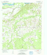
1951 Slate Shoals
Lamar County, TX
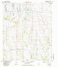
1951 Woodland
Lamar County, TX
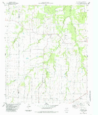
1963 Minter
Lamar County, TX
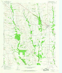
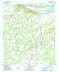
1964 Pattonville
Lamar County, TX
1980 Direct
Lamar County, TX
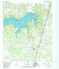
1980 Pat Mayse Lake East
Lamar County, TX
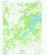
1980 Pat Mayse Lake West
Lamar County, TX
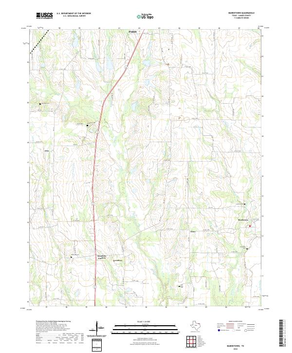
1984 Biardstown
Lamar County, TX
1984 Tigertown
Lamar County, TX
2022 Biardstown
Lamar County, TX
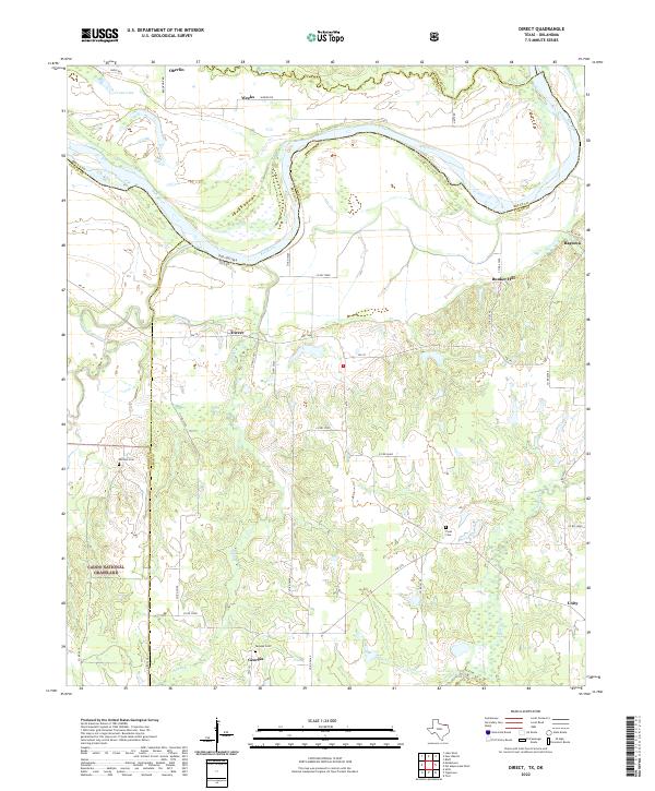
2022 Direct
Lamar County, TX
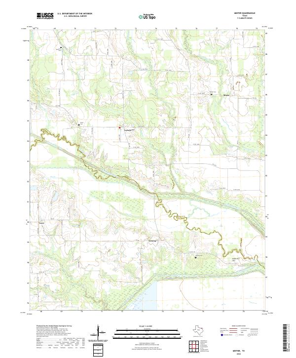
2022 Minter
Lamar County, TX
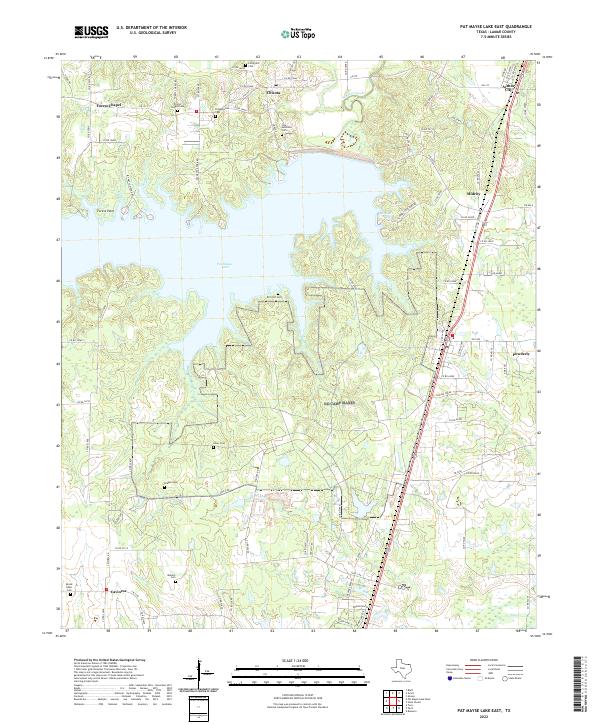
2022 Pat Mayse Lake East
Lamar County, TX
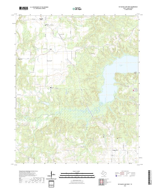
2022 Pat Mayse Lake West
Lamar County, TX
2022 Pattonville
Lamar County, TX
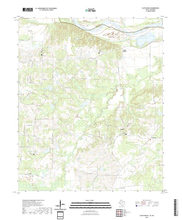
2022 Slate Shoals
Lamar County, TX
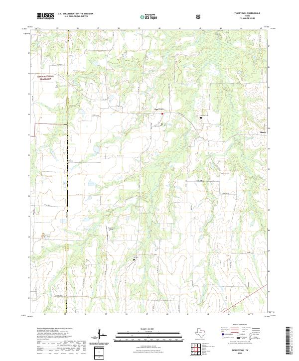
2022 Tigertown
Lamar County, TX
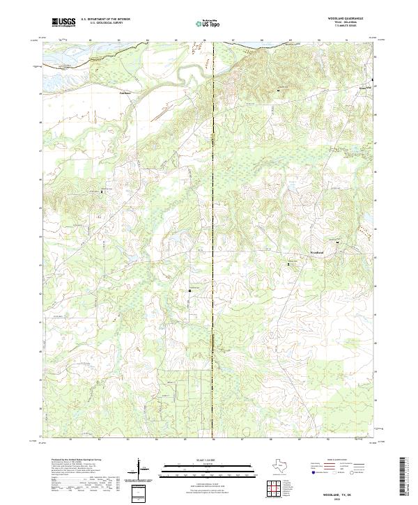
2022 Woodland
Lamar County, TX